
Azcapotzalco
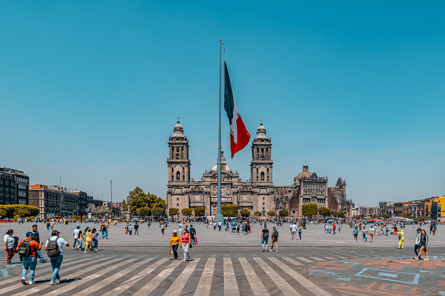
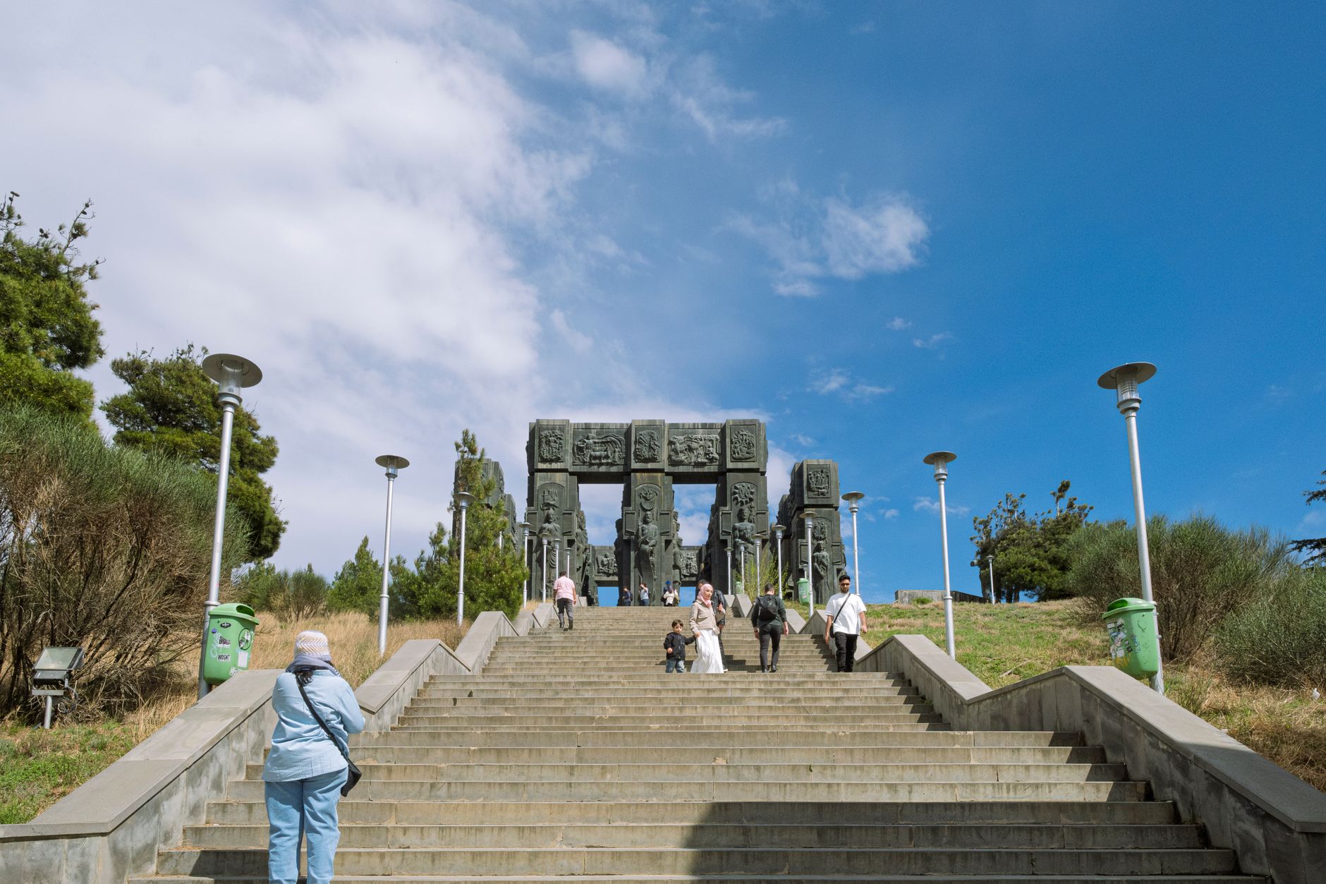

Azcapotzalco sits at the northwest edge of Mexico City, and most people pass through without stopping — which means the ones who do get something rare: a borough that carries seven centuries of layered history without performing it. The wide atrium of the Dominican cathedral, consecrated by Pope Francis in 2019, gives you a sense of scale that the centro histórico rarely offers. Nearby, a former petroleum refinery has been turned into an ecological park with a boardwalk, an orchid garden, and joggers lapping a pond where crude oil once moved through pipes.
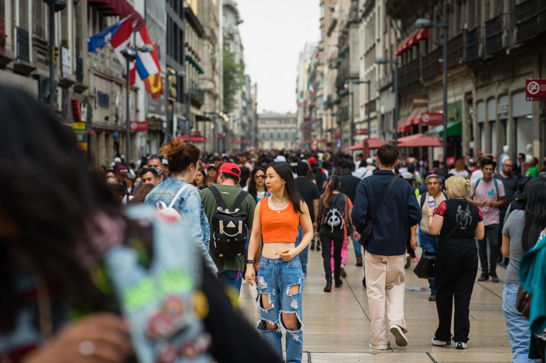
This is working Mexico City, not a curated version of it. The streets around Plaza Hidalgo fill on weekends with families, and Café Alameda — Jim Morrison staring down from the wall — hosts live bands that run late. The Fray Bartolomé de las Casas Library holds a 1926 O'Gorman mural that most visitors to the city never find.
💛 What travellers fall for
People who come back tend to time it for a Saturday. The bandstand at Parque Tezozómoc draws dancers in the afternoon, the Ecological Park is quieter in the morning before the basketball courts fill, and Café Alameda on Plaza Hidalgo starts its live sets after dark. Give yourself the full day.
Experiences you don't want to miss


Deals in Azcapotzalco
Book directly at the provider


How Azcapotzalco came to be
Villages existed in this territory as far back as 1500 BC, but the city's documented story begins in earnest around 1200 AD, when Chichimec settlers grew their settlement into the Tepanec Empire. By 1283, the leader Acolhuatzin had moved the empire's capital to what is now the historic center, on the edge of Lake Texcoco. Under Tezozomoc, who ruled from 1367 to 1427, the Tepanecs controlled most of the Valley of Mexico — reaching south toward Cuernavaca and north to Tenayuca. That dominance ended in 1428, when the Triple Alliance of Tenochtitlan, Texcoco, and Tlacopan sacked the city.
Centuries later, Azcapotzalco reinvented itself as industry. The first factories appeared in Colonia Vallejo in 1929, the Refinería 18 de Marzo followed at the end of the 1930s, and by 1944 the federal government had formally established the industrial zone. INAH designated the historic center a protected monument in 1986. The refinery itself eventually closed and became the Ecological Park — one of the more unlikely transformations in the city.
Who and what shaped it
People who shaped it
Landmark buildings
See Azcapotzalco in motion
Plan your visit
On the map
When to go
Azcapotzalco shares Mexico City's high-altitude climate: mild and dry from November through April, with afternoon rains arriving reliably from May onward. The outdoor parks are most comfortable in the dry season, though even the rainy months rarely see all-day downpours.
Right now
Background & history adapted from Wikipedia (CC BY-SA) · specs from Wikidata (CC0) · weather from Open-Meteo · map data © OpenStreetMap contributors · photos from Wikimedia Commons / Unsplash with per-image credit. No third-party reviews or social posts reproduced.