
Ayutthaya
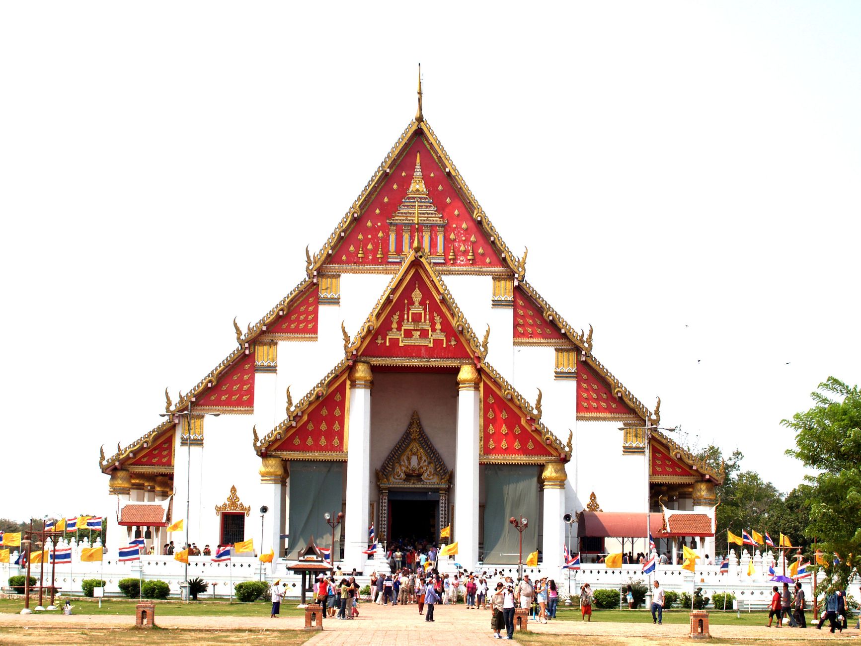
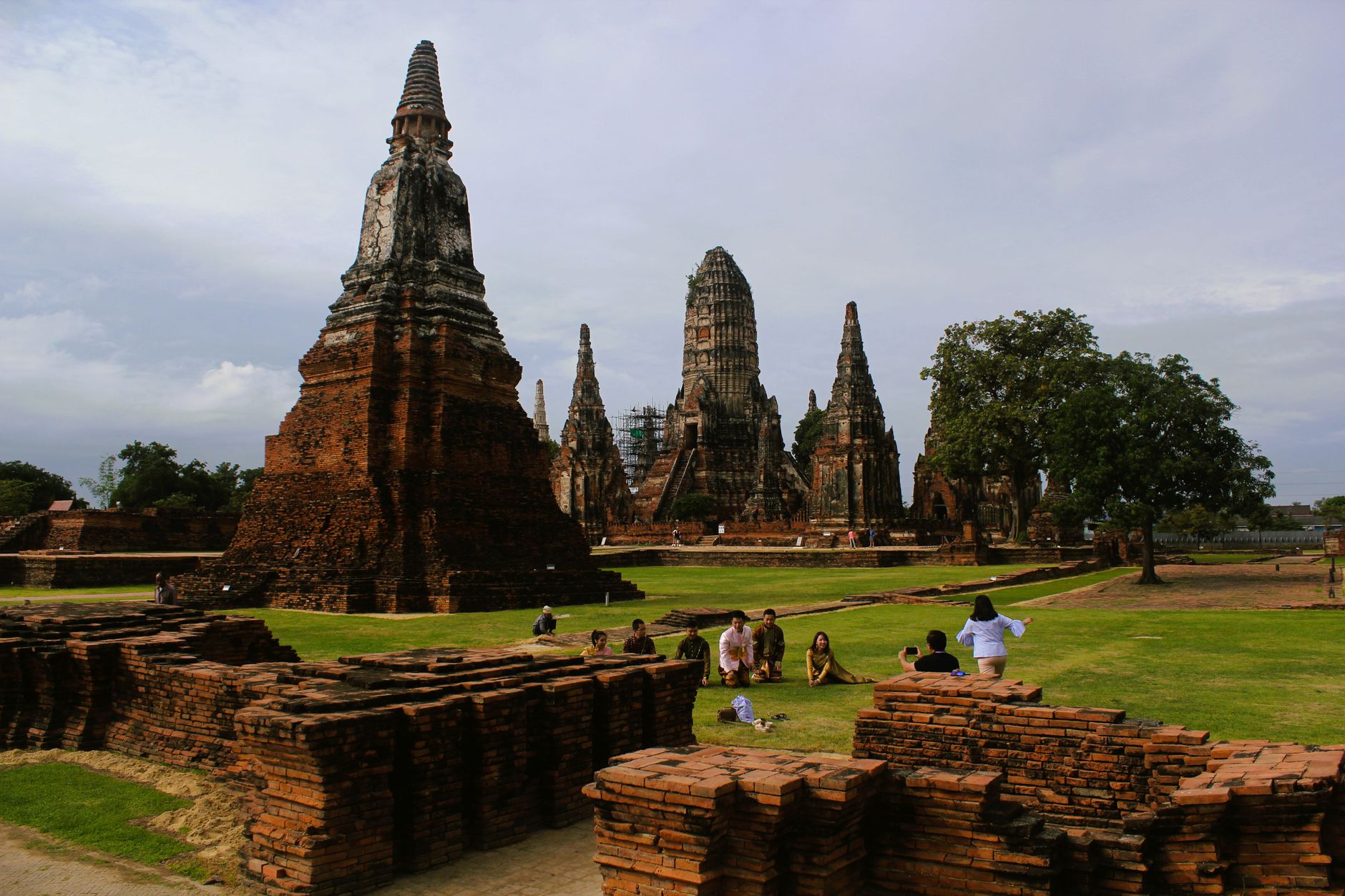
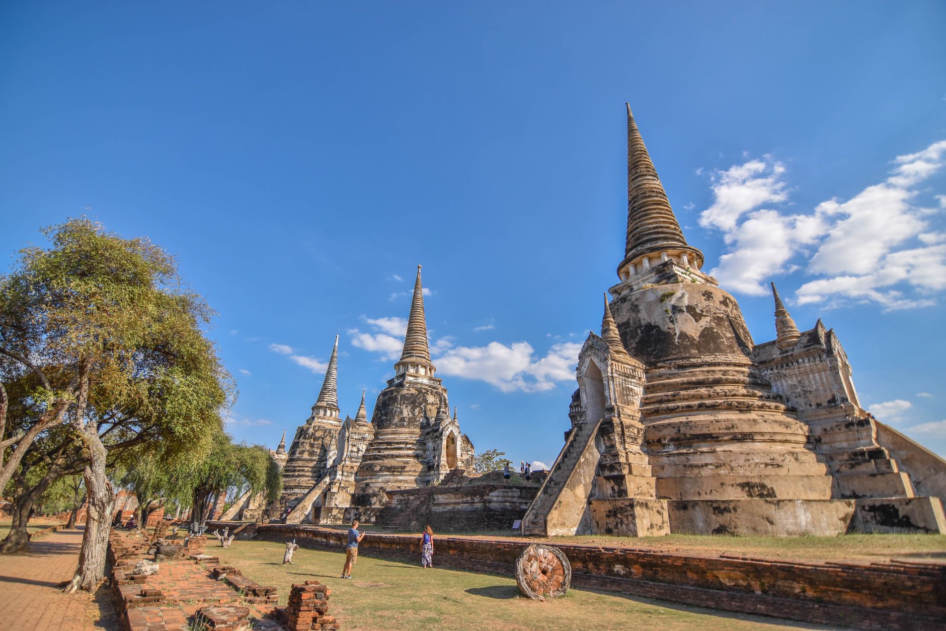
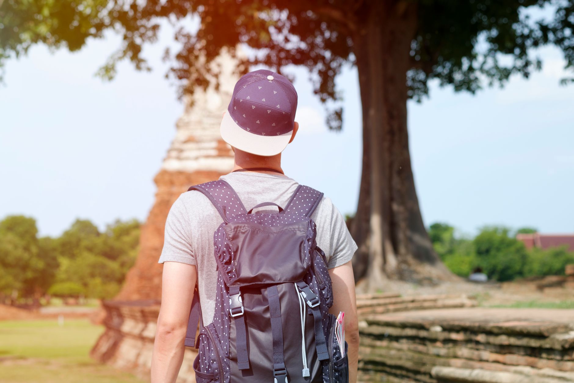
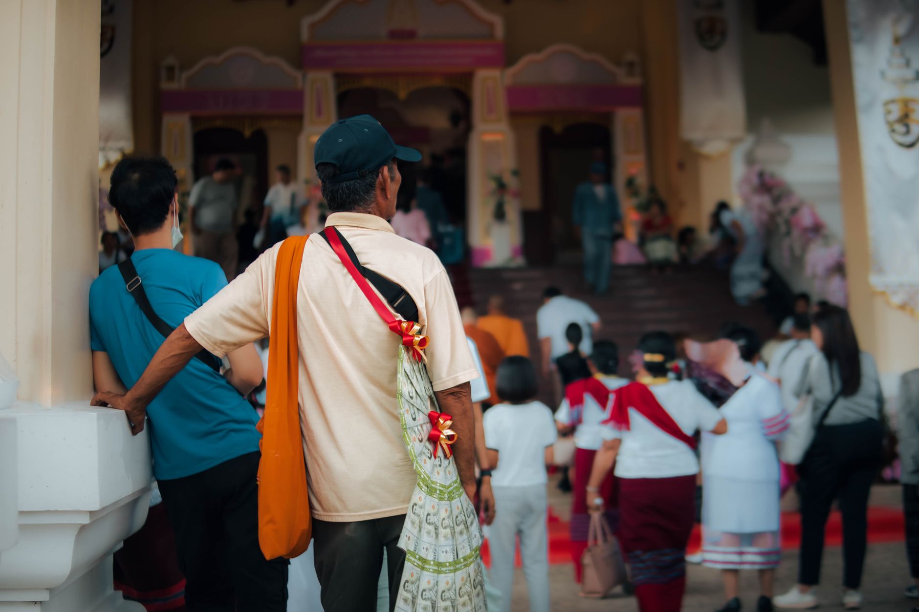
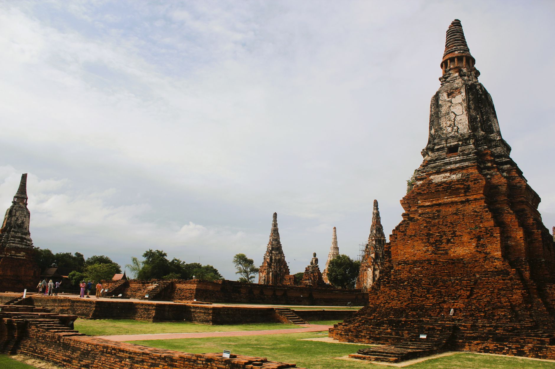
An hour and a half north of Bangkok by train, Ayutthaya announces itself through ruins: headless Buddhas in overgrown courtyards, brick prangs rising above the rice fields, a cityscape that was once, in the 17th century, larger than London. The whole place sits on a river island where the Chao Phraya and two smaller rivers converge, and the water still shapes how you move through it.
What makes Ayutthaya different from a standard ruin circuit is scale and texture. Temples here range from the meticulously restored to the quietly crumbling, and some — Wat Yai Chai Mongkhon, Wat Phanan Choeng — are still active places of worship, saffron-draped Buddhas receiving offerings alongside the camera crowds.
How Ayutthaya came to be
U Thong founded the city in 1350, moving his court south to an island to escape an epidemic. He took the royal name Ramathibodi, named his capital after the sacred Indian city of Ayodhya, declared Theravada Buddhism the state religion, and set in motion four centuries of expansion. By the 17th century, under King Narai the Great, Ayutthaya had become one of the most cosmopolitan trading capitals in the world — Chinese, Japanese, Portuguese, Dutch, and Persian merchants all kept quarters here.
The end came in 1767, when the Burmese army razed the city so thoroughly that its population simply abandoned it. What survived — the prangs, the headless statues, the crypts under Wat Ratchaburana with their Jataka murals — became the UNESCO World Heritage Site declared in 1991.
Who and what shaped it
People who shaped it
Landmark buildings
See Ayutthaya in motion
Plan your visit
On the map
When to go
The cool season (November to February) brings dry air and temperatures in the mid-20s Celsius — the most comfortable window for walking between sites. March through May turns punishing, and the wet season (June to October) brings heavy afternoon rains, though mornings can still be workable.
Right now
Background & history adapted from Wikipedia (CC BY-SA) · specs from Wikidata (CC0) · weather from Open-Meteo · map data © OpenStreetMap contributors · photos from Wikimedia Commons / Unsplash with per-image credit. No third-party reviews or social posts reproduced.