
Asir Region
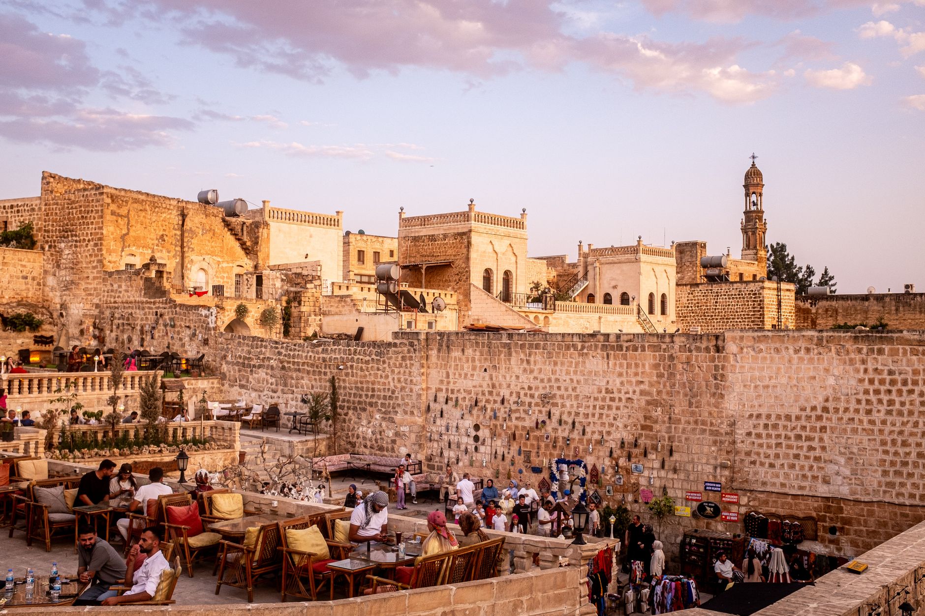
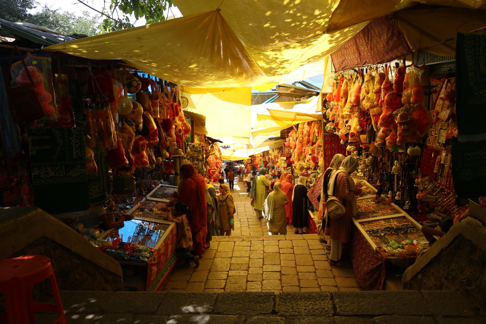
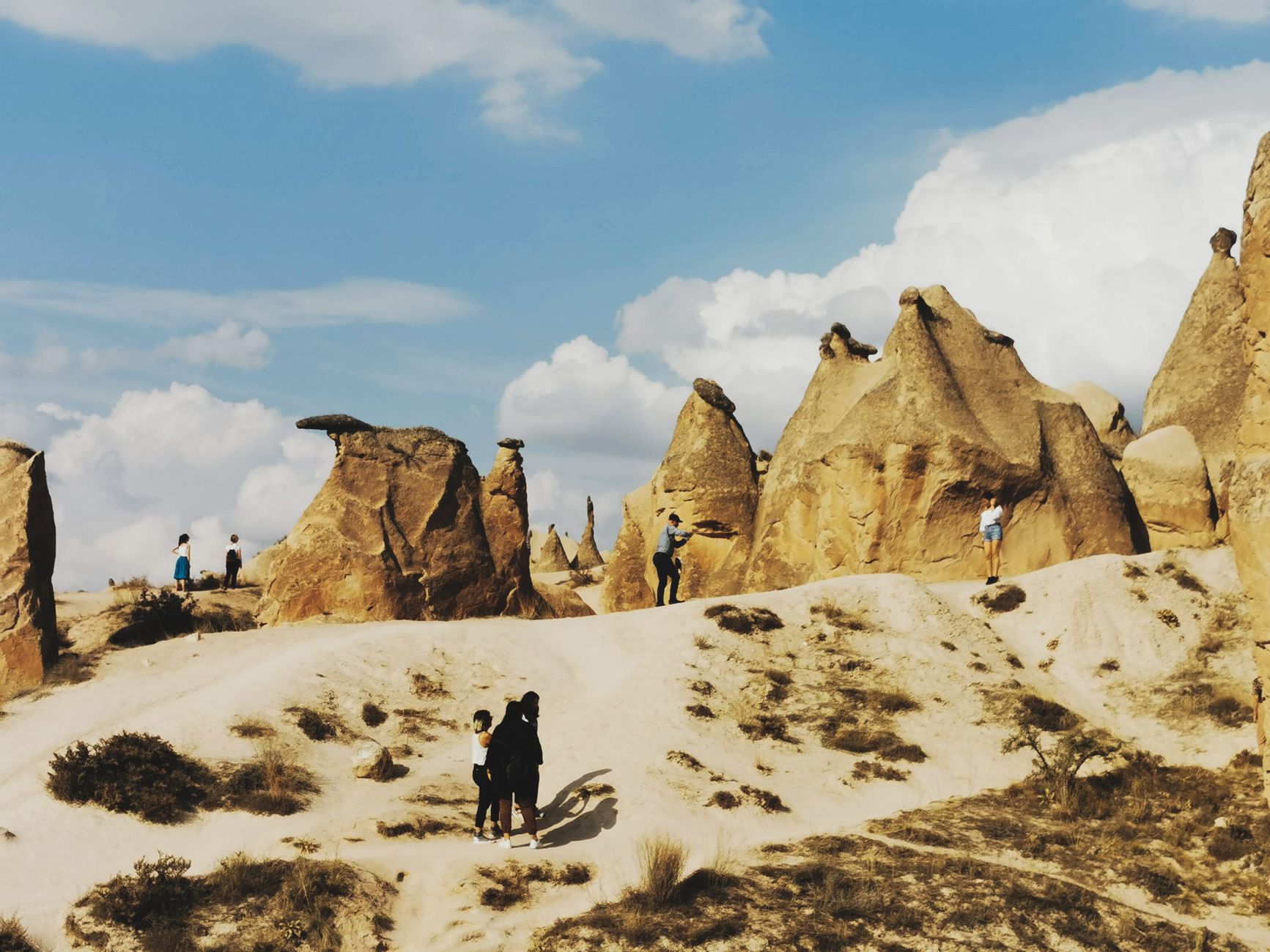
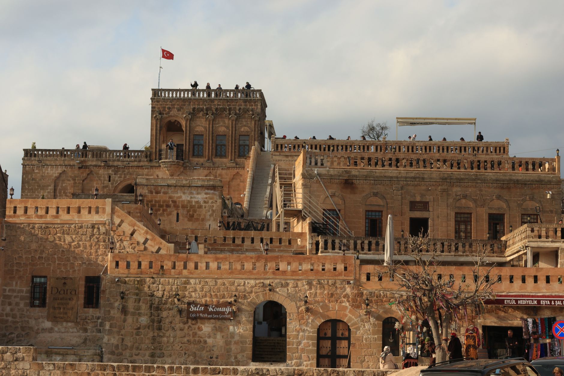
The southwestern corner of Saudi Arabia sits at an altitude most visitors don't expect. The Asir highlands climb to over 3,000 metres at Jabal Sawda — the kingdom's highest point — and the air is cooler, the light different, the terraced escarpments draped in mist during the summer monsoon months. Down in the valleys, 900-year-old stone villages like Rijal Almaa rise in towers of layered rock and clay, their windows trimmed in white against dark stone.
This is also where you find Al-Qatt Al-Asiri — geometric wall paintings in triangles, diamonds and dots, made by Asiri women using natural pigments on chalk-white walls, a tradition now recognised by UNESCO. The region holds its own visual language, and once you start noticing it, you see it everywhere.
How Asir Region came to be
The region's name may derive from the Arabic ʿUsrah, meaning hardship — a reference, perhaps, to the rugged terrain that kept it semi-autonomous for centuries. In 1907, Muhammad ibn Ali al-Idrisi founded the Emirate of Asir in open rebellion against Ottoman rule. The emirate didn't last long in its independent form: Ibn Saud's Ikhwan forces moved through in 1920, and by 1934, the Treaty of Taif formally brought Asir under Saudi control, settling a long-running boundary dispute with Yemen.
The region was administratively formalised as a province in 1992. Remnants of its earlier political life survive at the Tabab Historical Palaces, built in the early nineteenth century as the political centre of the Asir Emirate, and at Shamsan Castle in Abha, a rectangular Ottoman-era fortification that still stands on its hill above the city.
Who and what shaped it
People who shaped it
Landmark buildings
See Asir Region in motion
Plan your visit
On the map
When to go
The highlands run cool by Saudi standards — expect mornings that can drop to around 3°C in January, with fog thick enough to close visibility entirely. Summer brings the Khareef, a monsoon-like season from July to September when Indian Ocean moisture rolls in and turns the escarpments unexpectedly green; it's atmospheric but wet. September through March is the easier window for most visitors.
Right now
Background & history adapted from Wikipedia (CC BY-SA) · specs from Wikidata (CC0) · weather from Open-Meteo · map data © OpenStreetMap contributors · photos from Wikimedia Commons / Unsplash with per-image credit. No third-party reviews or social posts reproduced.