
Arugam Bay
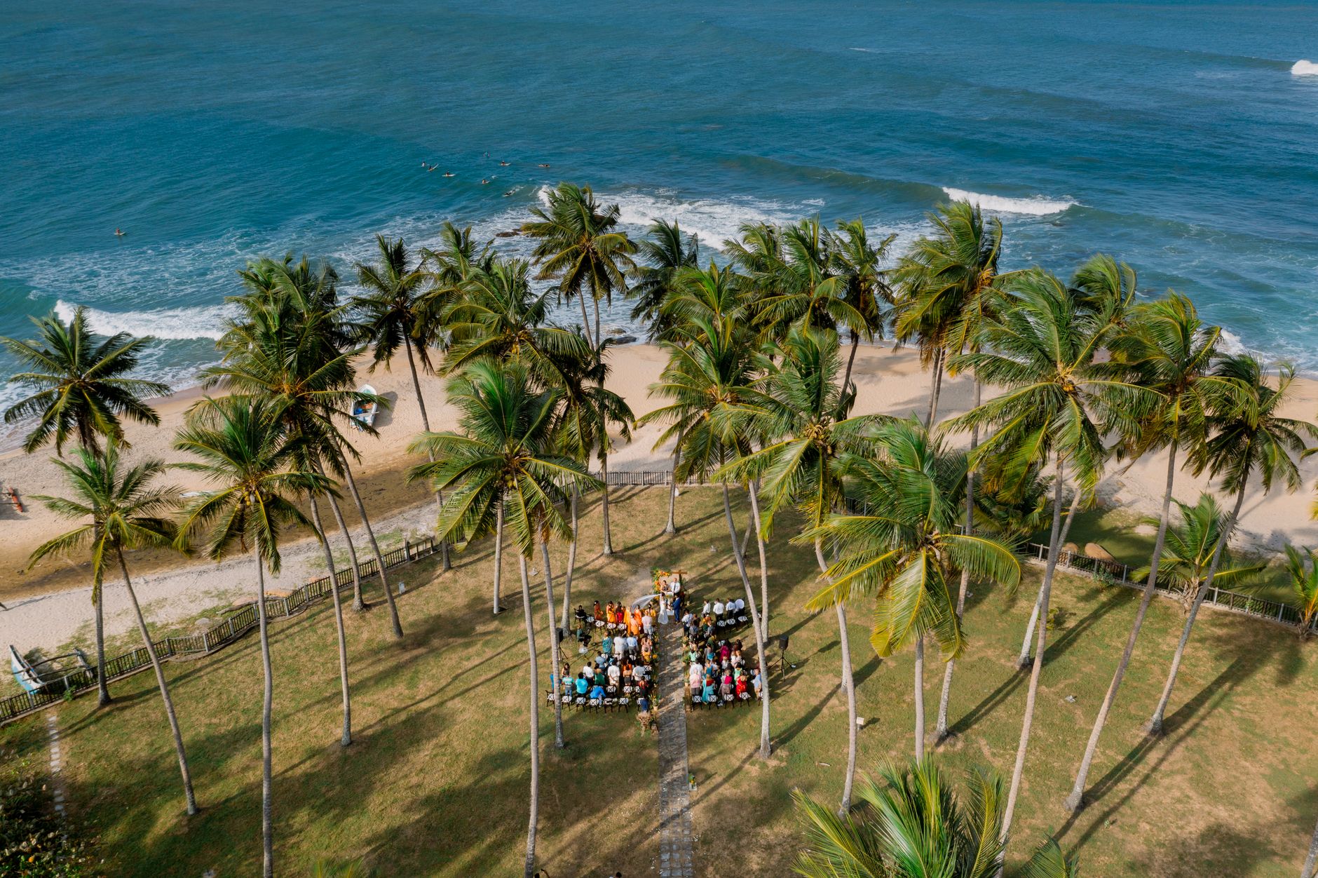
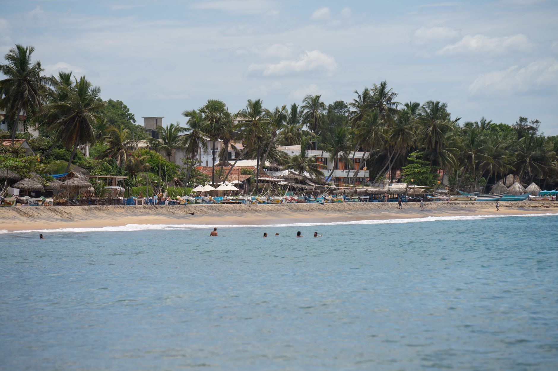
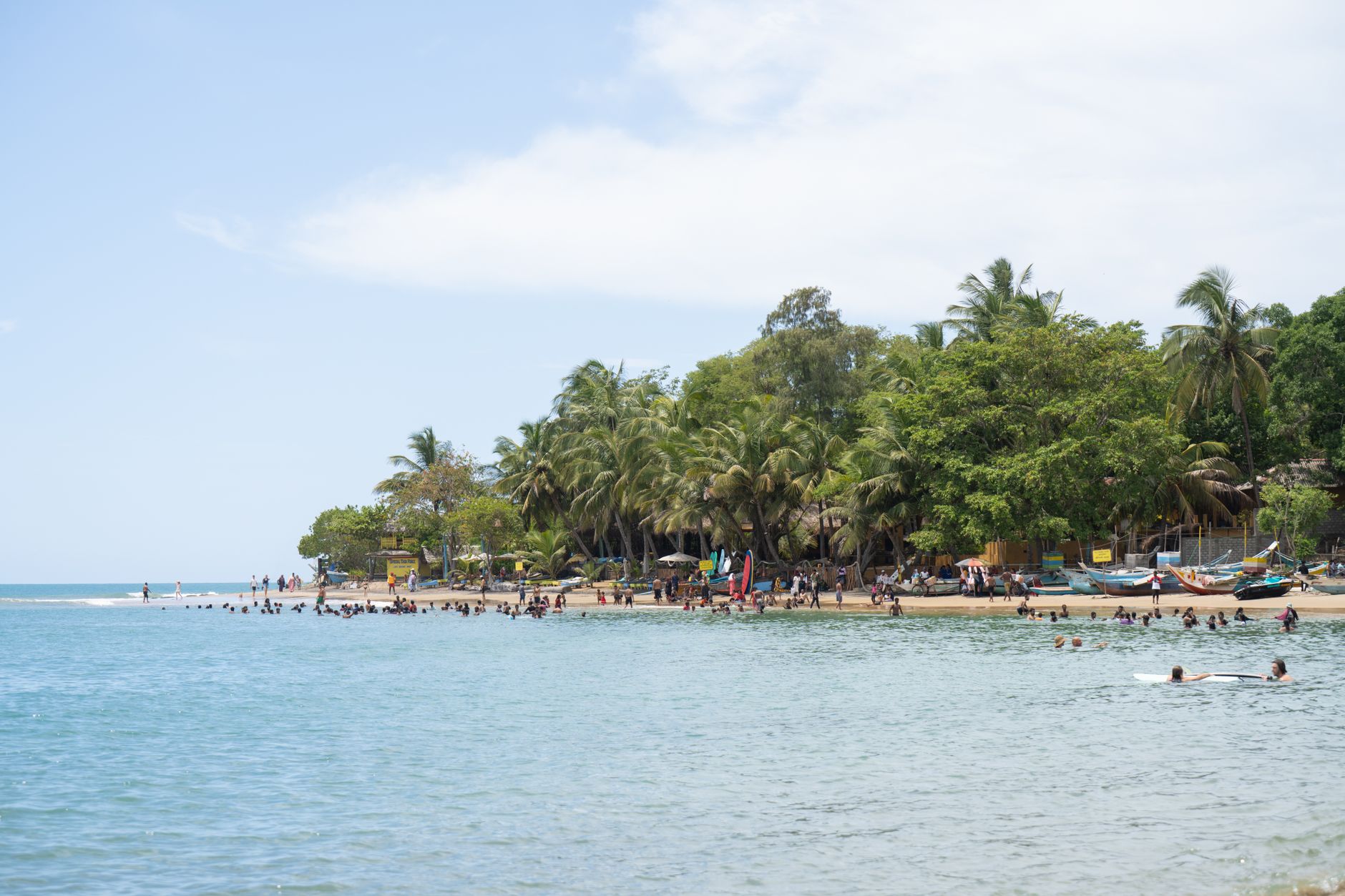
The name Arugam Bay translates, quite literally, from Tamil as the Bay of Cynodon dactylon — a creeping grass that grows wherever the soil is poor and the sun is relentless. That detail tells you something useful: this is a place that thrives on the spare and the elemental. A long crescent of Indian Ocean coast on Sri Lanka's dry southeast, it runs about four kilometres south of the market town of Pottuvil, with a lagoon behind it and open water ahead.
Surfers found it in the mid-1970s, mostly Australians looking for uncrowded waves beyond Bali. The breaks at Main Point, Whiskey Point, Peanut Farm and Pottuvil Point are still the reason most people make the six-hour drive east from Colombo. But the surrounding landscape — Buddhist monasteries cut into rock, a 2,072-hectare lagoon, elephant country just inland — gives the bay a depth that outlasts any swell.
💛 What travellers fall for
People who come back tend to agree: rent a scooter for at least one day. The tuk-tuks are fine for the village, but the road out to Kudumbigala or down past the lagoon at dusk is a different thing entirely on two wheels. The red telephone box outside Siam View Hotel is your landmark when you've been out too long and need to find your bearings.
How Arugam Bay came to be
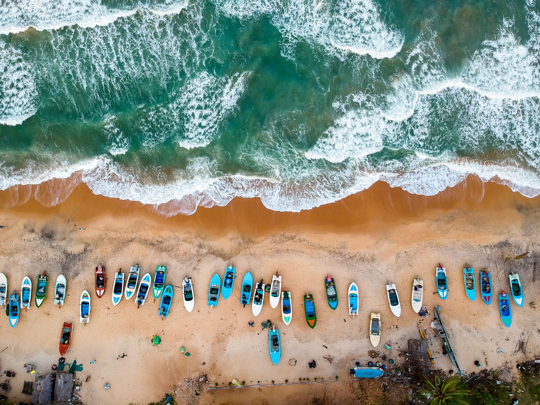
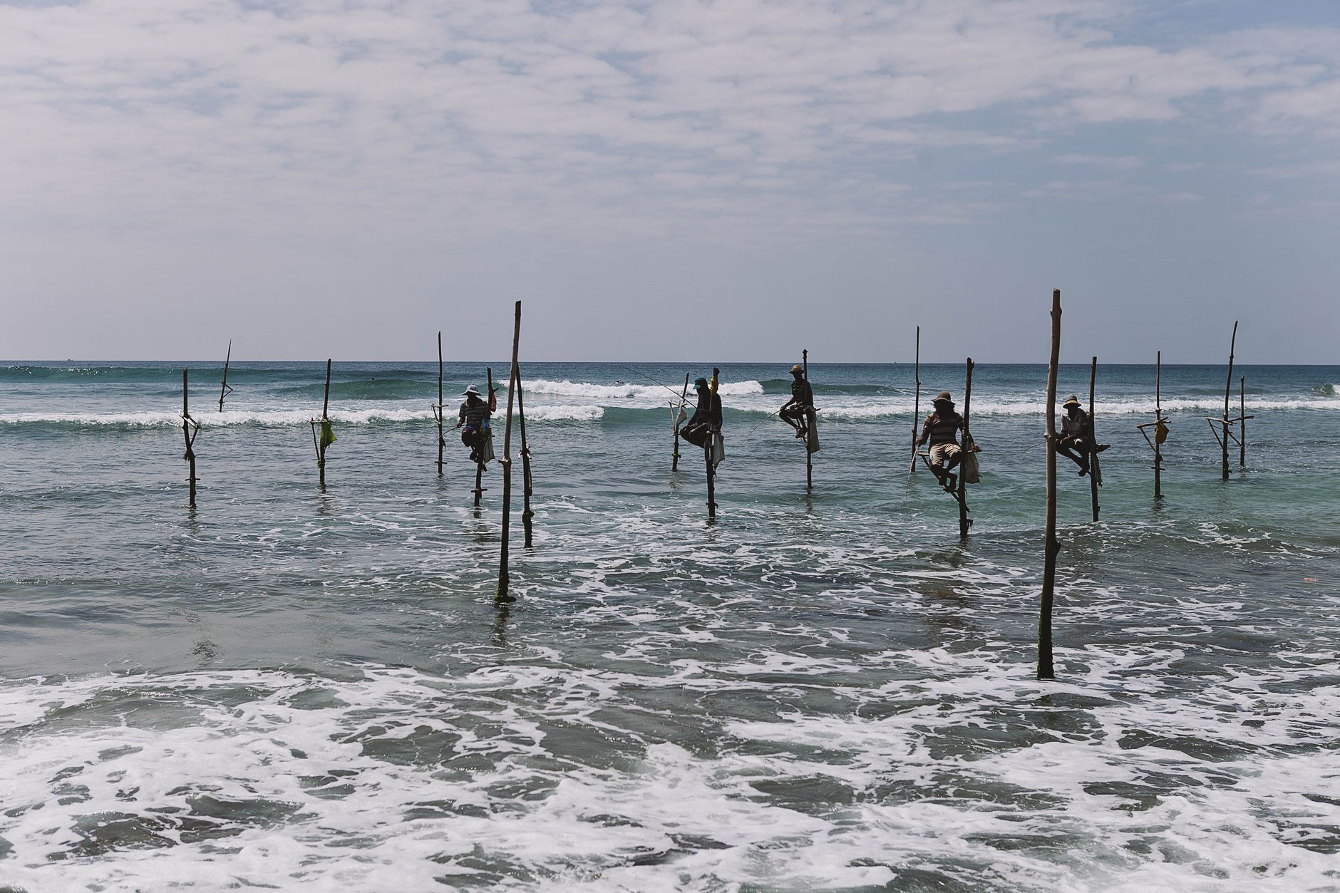
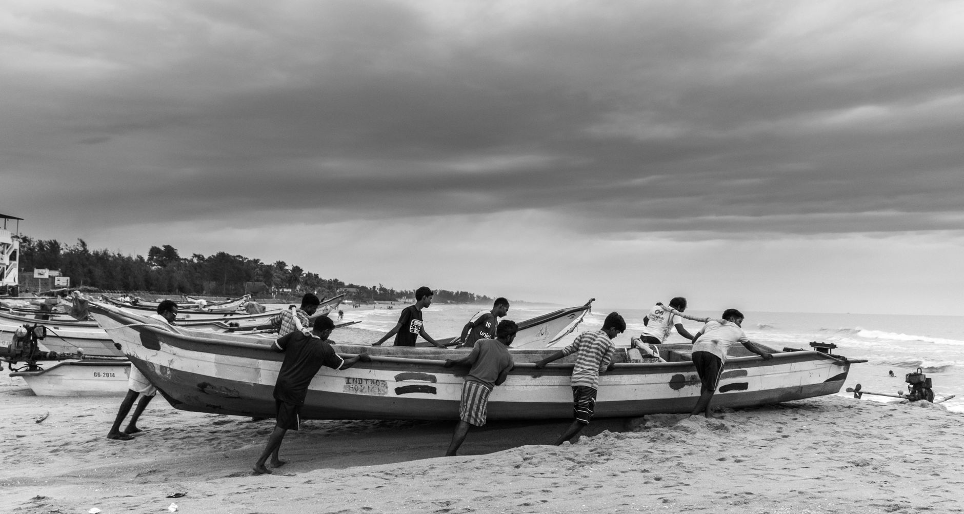
Muslim communities fleeing Portuguese incursions during the Kandyan Period arrived here around 1505 CE; Sinhalese settlers followed after the Uva-Wellassa rebellion of 1818. For generations the economy ran on fishing — outrigger oruwa canoes working the lagoon and the open coast. The bay's name, its ancient temples, and its fishing culture all predate tourism by centuries.
The modern surf chapter opened in the mid-1970s, when Australian surfers began arriving overland. That thread was cut by the Sri Lankan Civil War (1983–2009), which brought military checkpoints and travel advisories and effectively shut down foreign arrivals. The 2004 tsunami destroyed much of the bay and the neighbouring town of Pottuvil. After the war ended in 2009, the place rebuilt steadily; the WSL held its first international contest here in 2010, and in 2018 the Arugam Bay Girls Surf Club became Sri Lanka's first registered female surf club.
Who and what shaped it
Landmark buildings
See Arugam Bay in motion
Plan your visit
On the map
When to go
The east coast sits in Sri Lanka's dry zone, which means the surf season — roughly April through October — brings sun and consistent swell while the rest of the island gets its monsoon rains. From November onward the northeast monsoon reverses the pattern: the bay turns wet and rough, and most of the surf-facing accommodation closes or quiets considerably.
Right now
Background & history adapted from Wikipedia (CC BY-SA) · specs from Wikidata (CC0) · weather from Open-Meteo · map data © OpenStreetMap contributors · photos from Wikimedia Commons / Unsplash with per-image credit. No third-party reviews or social posts reproduced.