
Ardennes
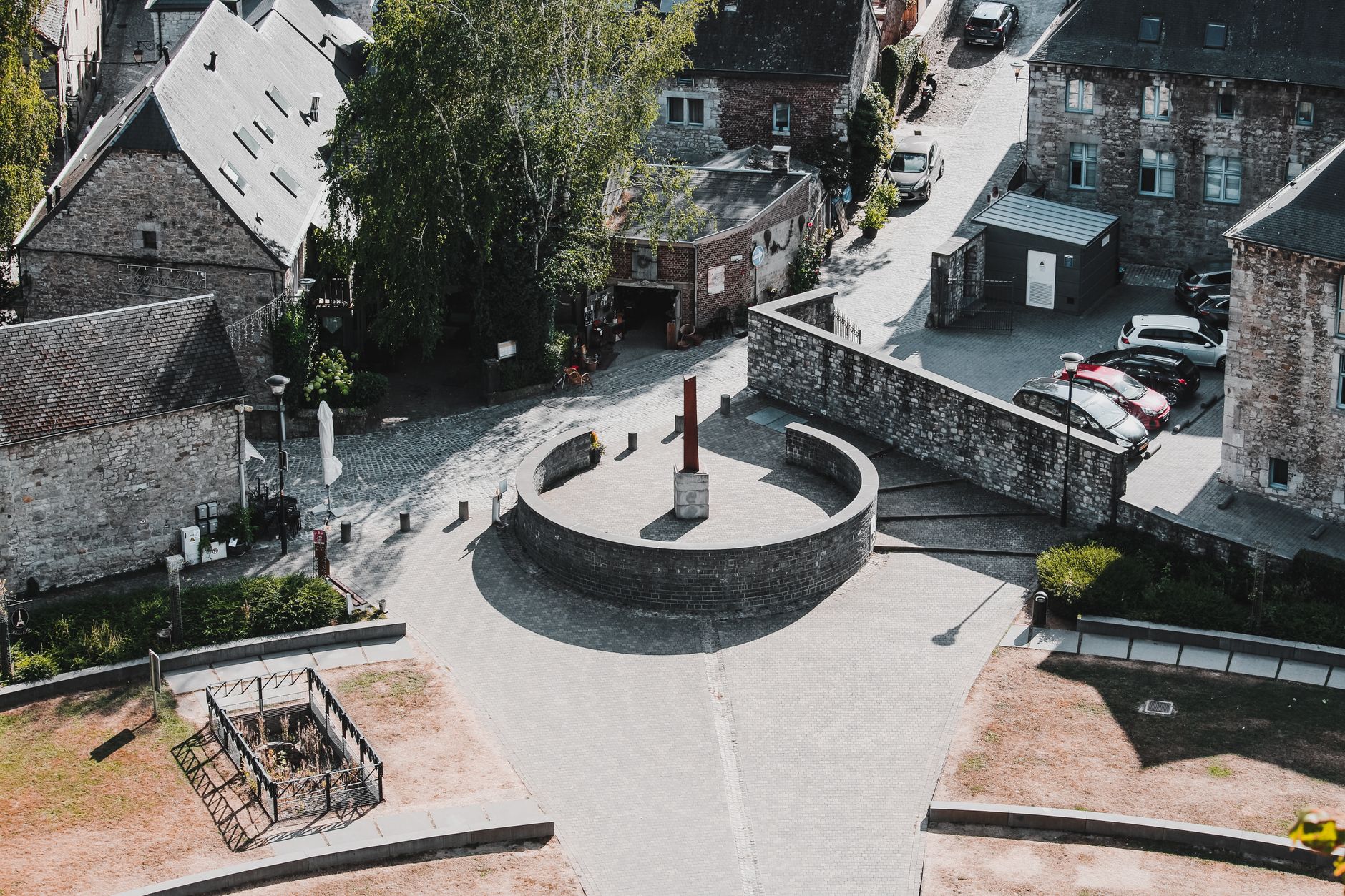
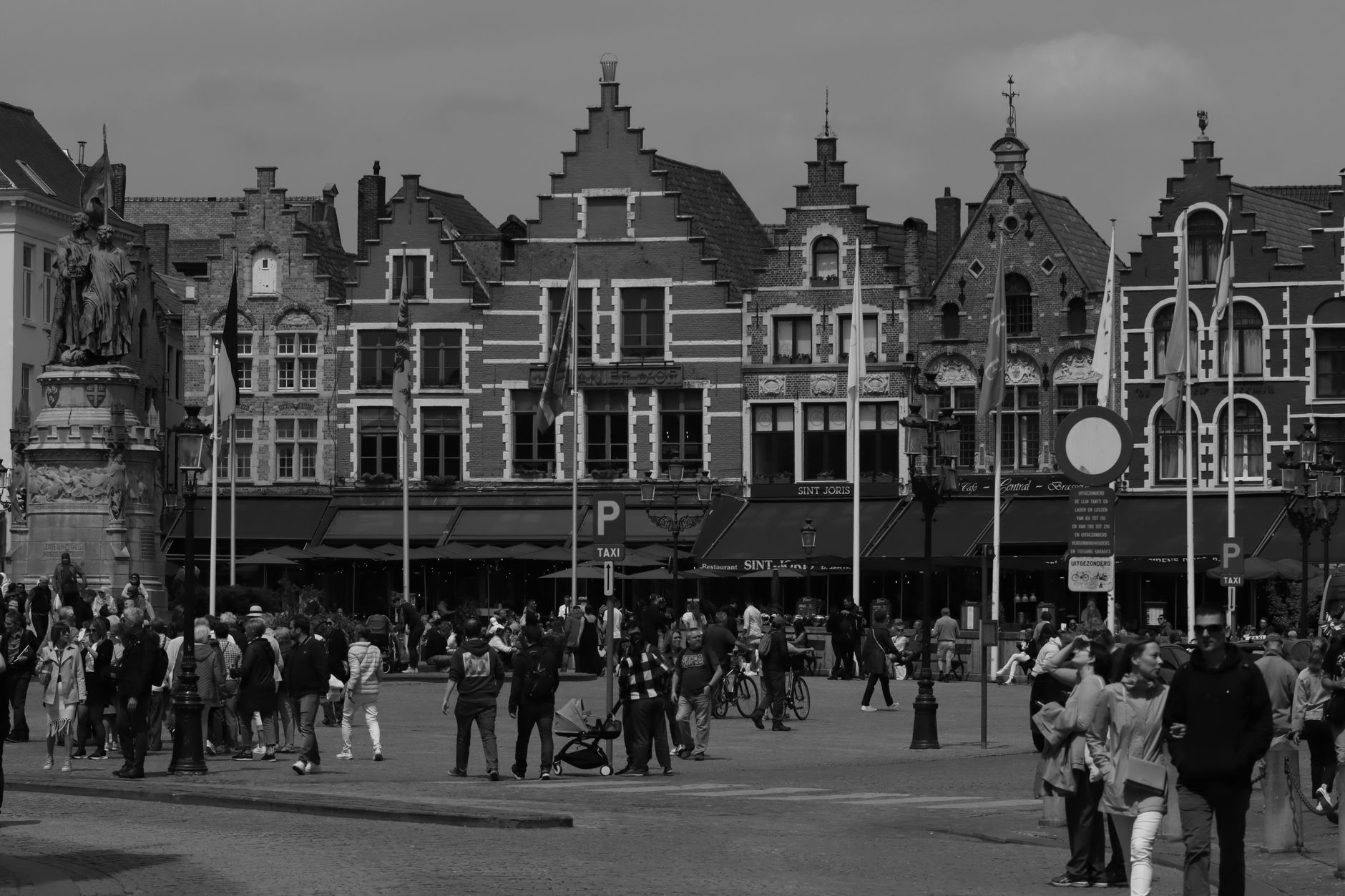

The word 'spa' entered the English language because of this region — a single mineral spring town in the Ardennes gave its name to every bath house and wellness retreat that followed. That kind of quiet influence runs through the whole place. The Ardennes is a plateau of deep river valleys and 440,000 hectares of forest, where the rivers cut so sharply into the rock that the roads run along the water's edge and the villages stack themselves against the hillsides.
Durbuy holds the title of Belgium's smallest official city. Wéris has megalithic stones older than any written record of the region. Dinant produced the man who invented the saxophone. The Ardennes rewards the lateral traveller — the one who follows a river rather than an itinerary.
💛 What travellers fall for
People who come back tend to rent a car the second time, having learned that the bus network covers the gaps but slowly. The Coo Waterfalls are worth the short detour — Belgium's tallest at 15 metres, which sounds modest until you're standing beside them in early spring when the snowmelt is running hard. Bouillon Castle, overlooking its river bend, is best seen at dusk.
How Ardennes came to be
The Ardennes plateau is geologically ancient — shaped during the Hercynian orogeny and inhabited since around 10,000 years ago, with Gaulish settlements recorded from the 6th century BC. Through the Middle Ages it functioned as an iron-producing heartland, and the abbeys of Stavelot and Malmedy anchored religious and cultural life across the region. By the 18th and 19th centuries, its rivers and forests fed the charcoal industry that helped make Wallonia one of the world's earliest and most significant industrial regions.
The 20th century left deeper marks. Three major military engagements crossed this terrain: the Battle of the Ardennes in August 1914, the Battle of France in 1940, and the Battle of the Bulge in the winter of 1944–45. The evidence is still findable — in cemeteries, in small museums, in the contours of the land itself.
Who and what shaped it
People who shaped it
Landmark buildings
See Ardennes in motion
Plan your visit
On the map
When to go
Summers run mild and sunny, reaching around 22°C between June and August — good walking weather without much heat. Winters are genuinely cold, with frost on roughly 120 days a year and snow on 30 to 35; January averages a high of just 3°C. The Ardennes receives more rainfall than anywhere else in Belgium, so a waterproof layer earns its place in the bag regardless of season.
Right now
Background & history adapted from Wikipedia (CC BY-SA) · specs from Wikidata (CC0) · weather from Open-Meteo · map data © OpenStreetMap contributors · photos from Wikimedia Commons / Unsplash with per-image credit. No third-party reviews or social posts reproduced.