
Antarctic Peninsula
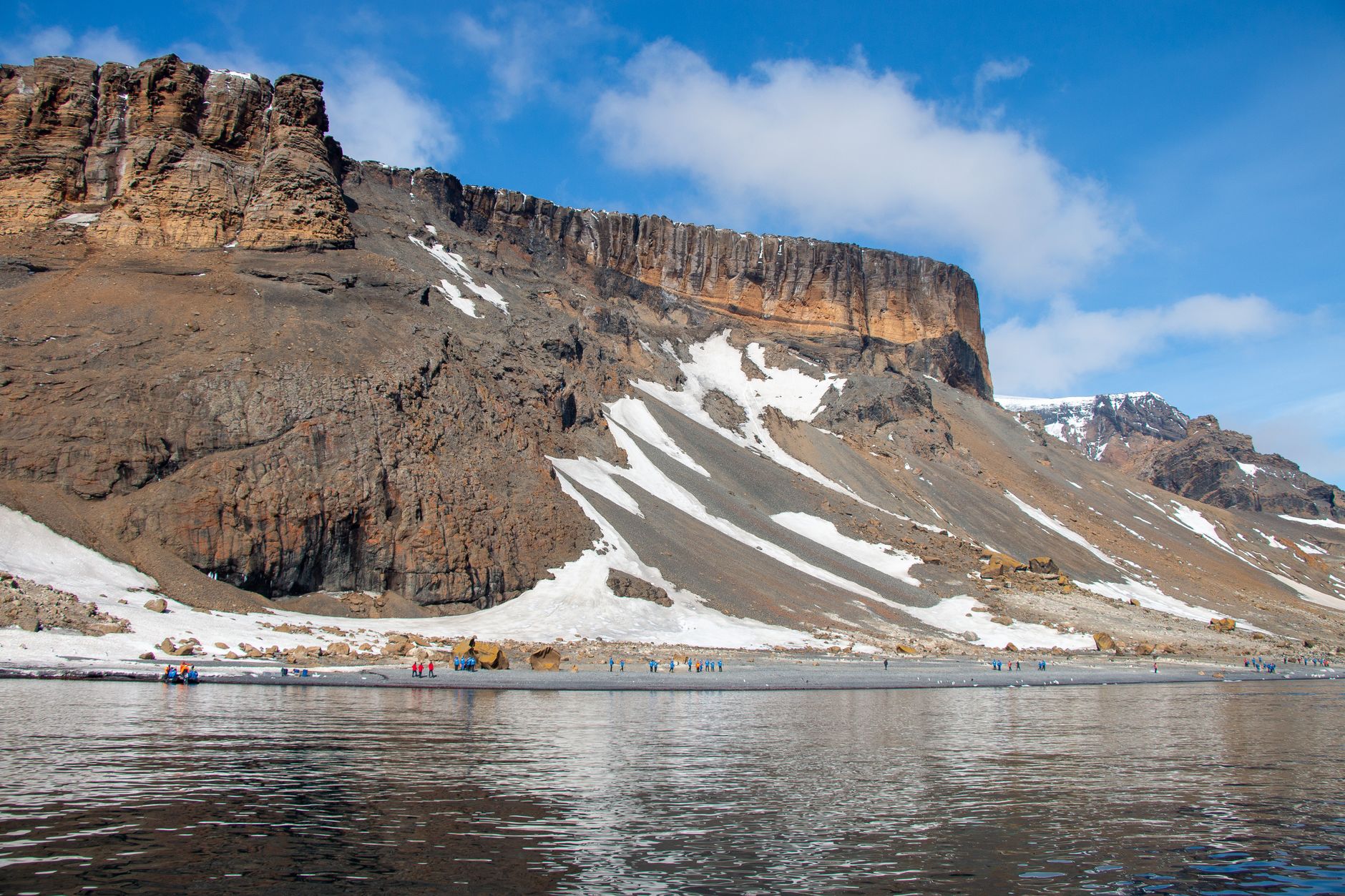
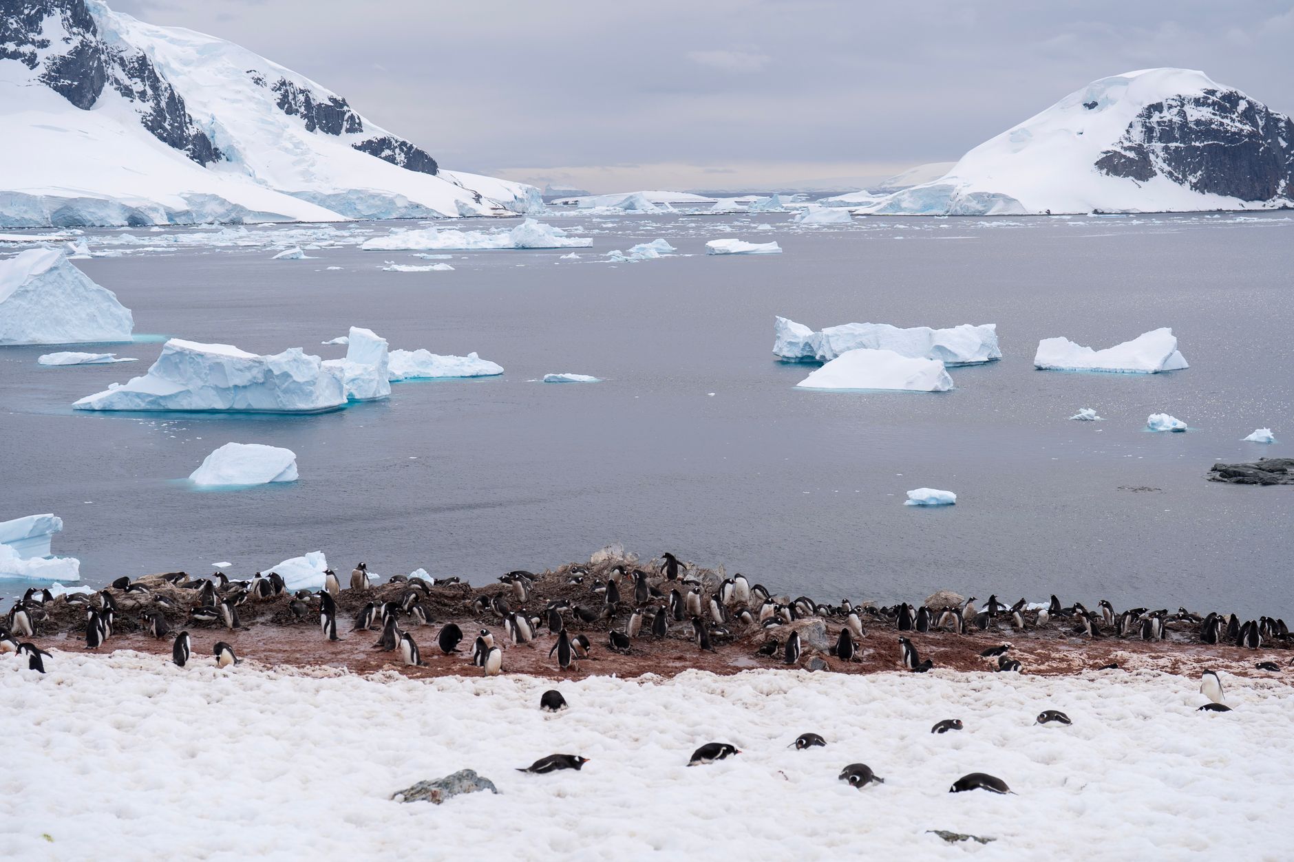
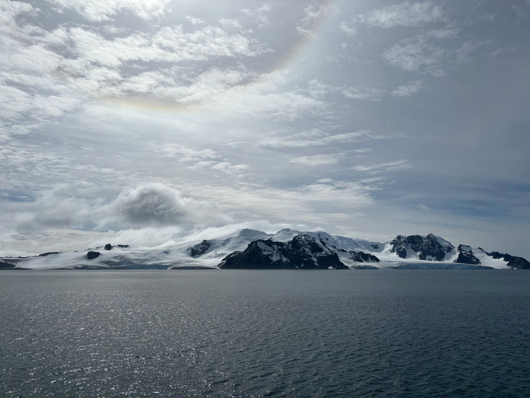
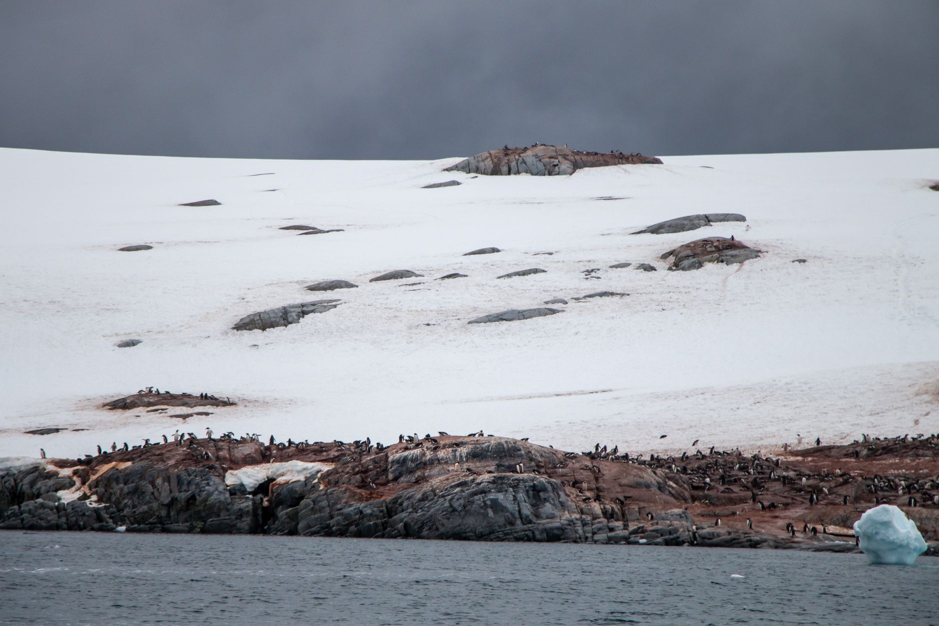
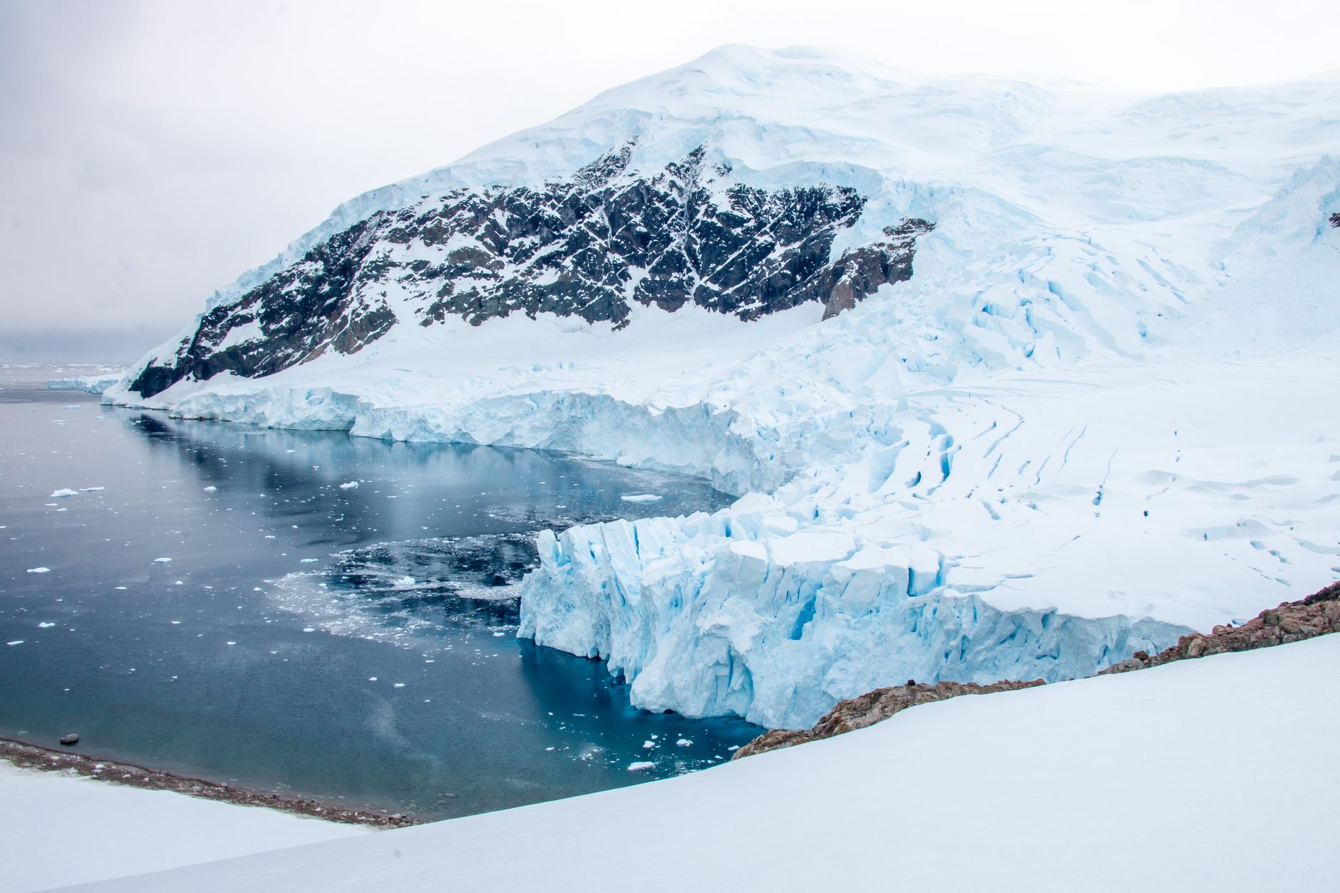
The Antarctic Peninsula is the continent's long arm reaching toward South America, and the place where almost everyone's Antarctica begins. Icebergs the size of office blocks drift past at breakfast. Gentoo penguins commute across your path without a glance. The light in January — that low, sideways polar light — turns everything silver and blue at midnight, which looks exactly like midday.
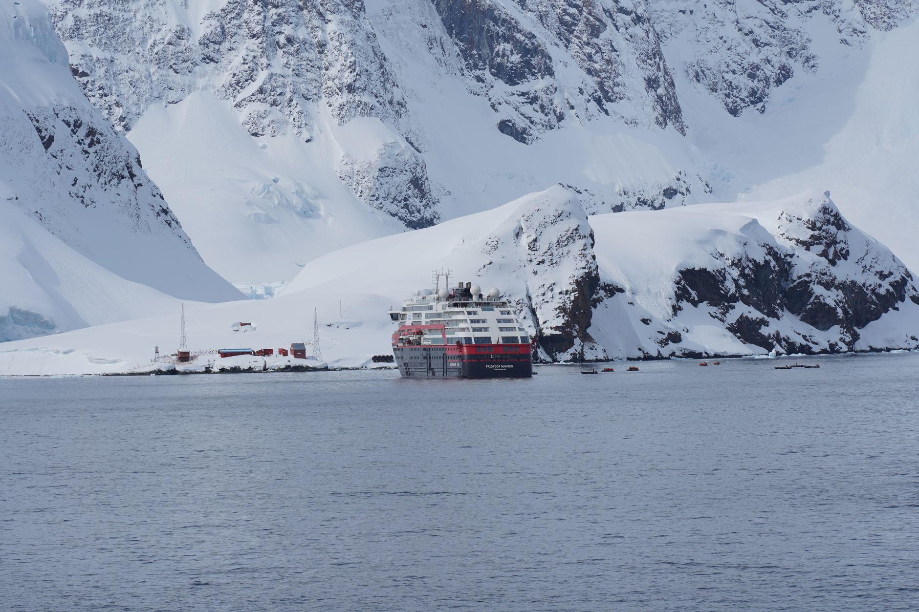
Nearly all visitors arrive by expedition ship from Ushuaia, crossing the Drake Passage over two or three days before the continent comes into view. The peninsula holds most of Antarctica's accessible wildlife, its most dramatic channels, and the research stations that make permanent human life here possible.
How Antarctic Peninsula came to be
On 30 January 1820, Edward Bransfield and William Smith became the first to chart part of the peninsula. John Biscoe followed in 1832, naming the northern stretch Graham Land. The seal hunters came first for commerce; whaling ships arrived in 1906 and shore stations went up quickly, operating until international pressure and collapsing whale populations brought a moratorium in 1986.
Scientific ambition arrived alongside industry. Otto Nordenskjöld led the Swedish Antarctic Expedition here between 1901 and 1904. Permanent bases followed: Port Lockroy and Hope Bay were both established in February 1945. The Antarctic Treaty of 1961 designated the continent a scientific preserve, banning nuclear testing, waste disposal, and industrial development — a framework that still governs every permit issued today.
Who and what shaped it
People who shaped it
Landmark buildings
See Antarctic Peninsula in motion
Plan your visit
On the map
When to go
Summer (November to March) brings temperatures averaging 1–2°C in January, occasionally climbing into the low teens Celsius on warmer days. Conditions change fast — calm water and clear skies can give way to wind and snow within hours — so layering is less a suggestion than a structural requirement.
Right now
Background & history adapted from Wikipedia (CC BY-SA) · specs from Wikidata (CC0) · weather from Open-Meteo · map data © OpenStreetMap contributors · photos from Wikimedia Commons / Unsplash with per-image credit. No third-party reviews or social posts reproduced.