
Annapurna Conservation Area
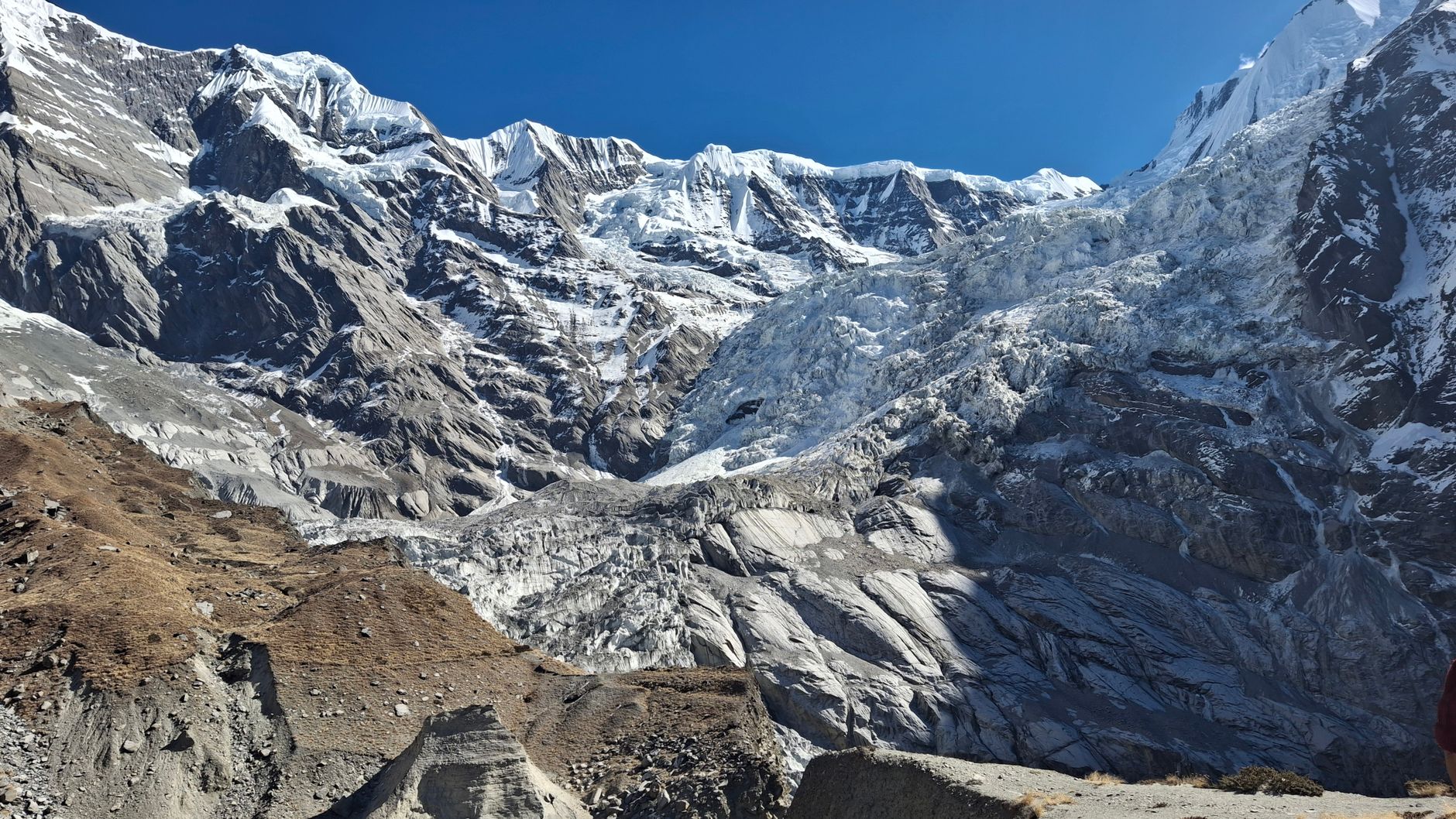
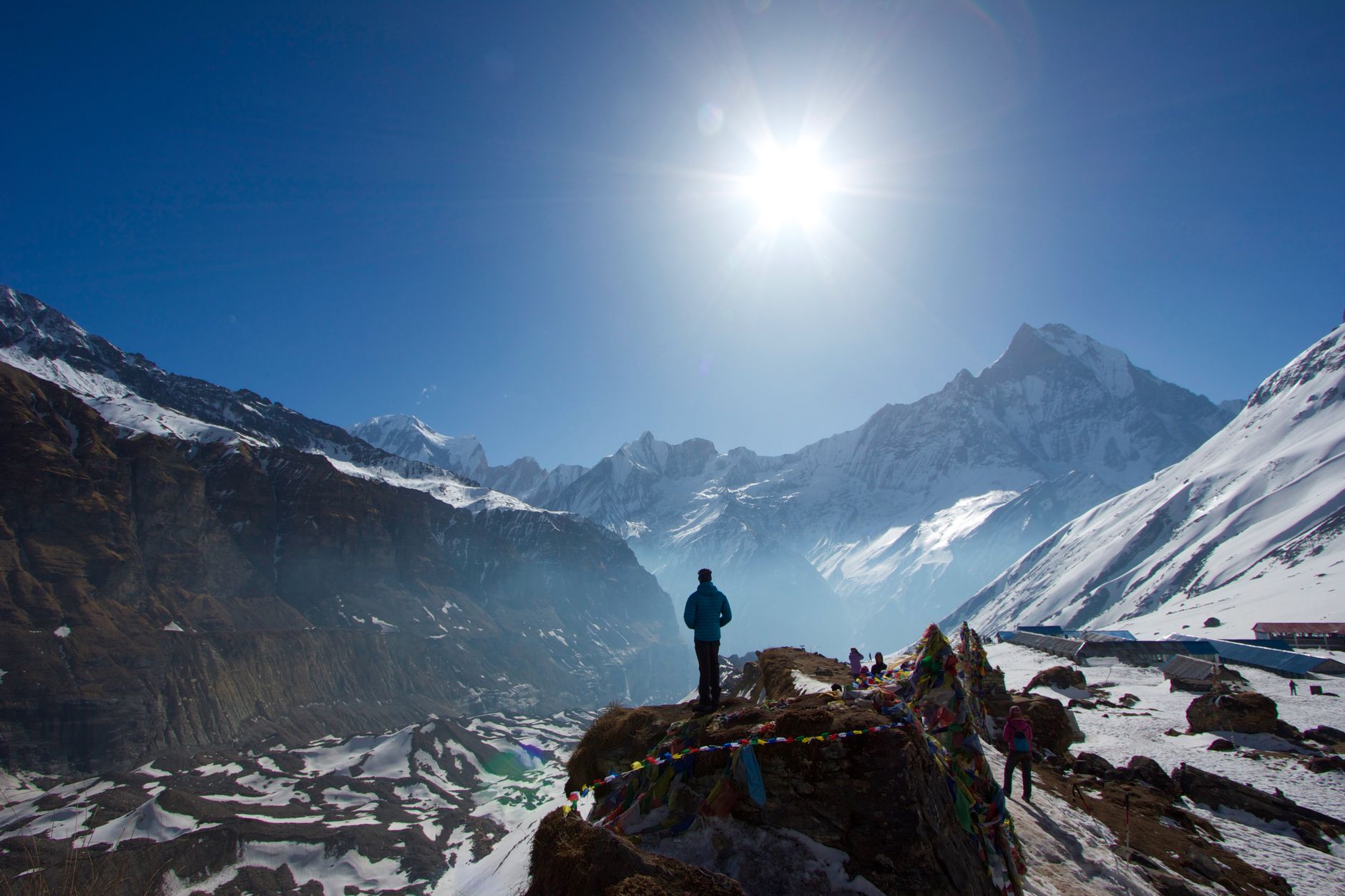
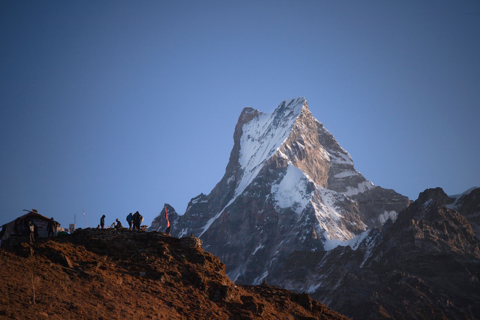
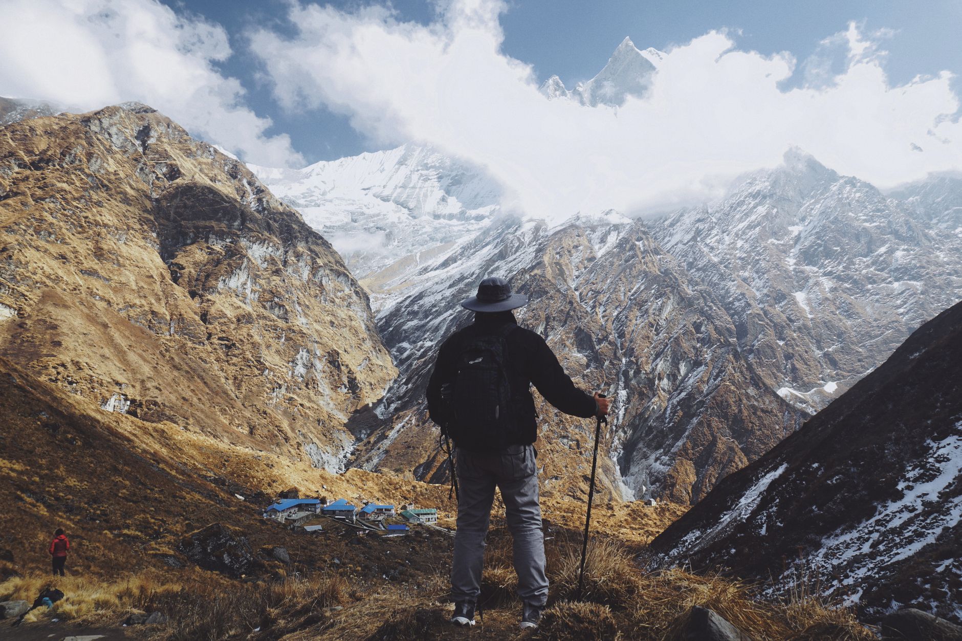
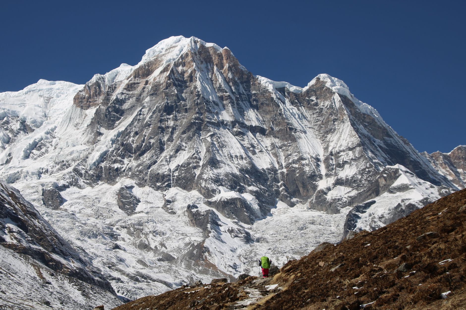
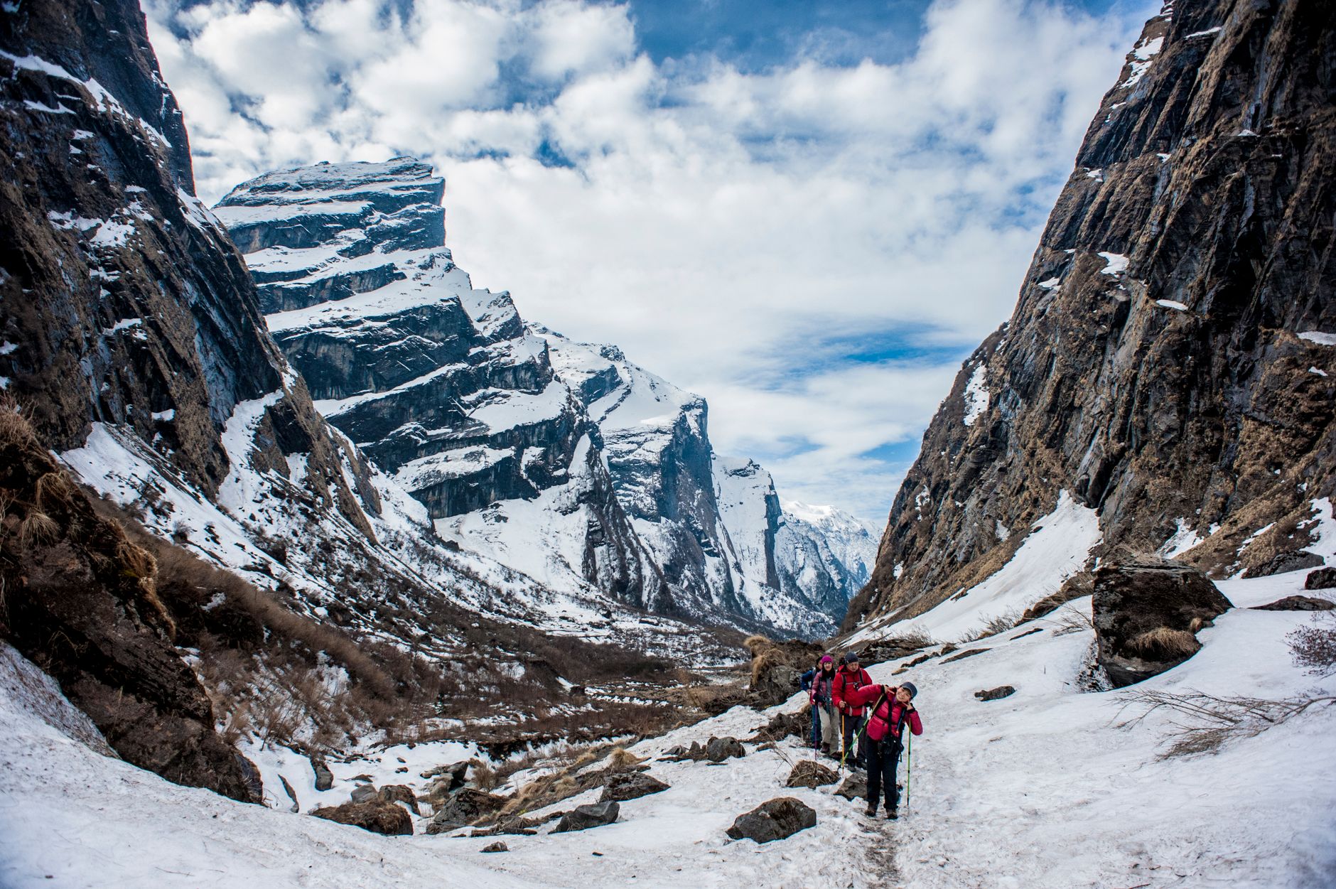
The Annapurna Conservation Area covers 7,629 square kilometres of Nepal's middle hills and high Himalaya — a scale that contains everything from subtropical river valleys to glacial moraines above 4,000 metres. The Kali Gandaki Gorge cuts through its heart, a three-mile-wide cleft where fossils from the ancient Tethys Sea surface in the riverbed. More than 100,000 people live here across communities of Gurung, Magar, Thakali, Manange and Loba — each with distinct languages and traditions — which means trekking the ACA is as much a movement through cultures as through landscapes.
The main routes range from the four-to-six-day Poon Hill loop to the full Annapurna Circuit, a 12-to-21-day arc that crosses Thorong La at 5,416 metres. Over 1,000 tea houses thread the trails, so you're rarely far from a meal or a bed.
💛 What travellers fall for
Return trekkers tend to mention the same things: arrive in Chomrong a day before you plan to, because the views of Annapurna South and Machapuchare at dawn are worth the extra morning. And if you're on the Circuit, don't skip the detour to Tilicho Lake — the highest freshwater lake in the world, and genuinely quieter than the main pass.
How Annapurna Conservation Area came to be
What is now the Annapurna Conservation Area began as a 200-square-kilometre pilot project in the village of Ghandruk in 1986, run by the organisation now known as the National Trust for Nature Conservation. The model was deliberately different from a conventional national park: rather than excluding local communities, it was built around them, with residents involved in managing resources and sharing conservation revenues.
By 1990 the project had expanded to cover 1,500 square kilometres across 16 Village Development Committees. It was officially gazetted in 1992 at its current extent, making it Nepal's first and largest conservation area — a designation that remains meaningful precisely because the human communities within it are part of the design, not exceptions to it.
Who and what shaped it
Landmark buildings
See Annapurna Conservation Area in motion
Plan your visit
On the map
When to go
Spring (March to May) brings rhododendron bloom and clear morning skies before afternoon cloud builds; autumn (October to November) offers the sharpest visibility and the most stable conditions for high passes. Monsoon (June to September) closes some routes and makes trails slippery, though the inner valleys around Mustang and Manang sit in a rain shadow and remain accessible.
Right now
Background & history adapted from Wikipedia (CC BY-SA) · specs from Wikidata (CC0) · weather from Open-Meteo · map data © OpenStreetMap contributors · photos from Wikimedia Commons / Unsplash with per-image credit. No third-party reviews or social posts reproduced.