
Angel Falls
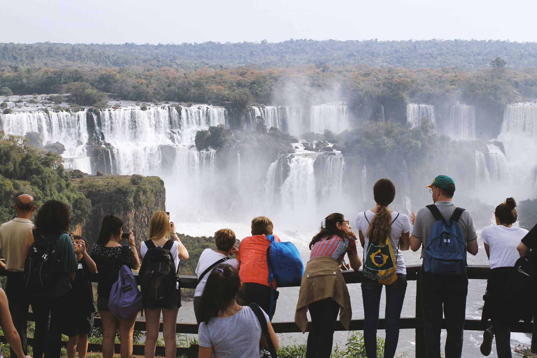
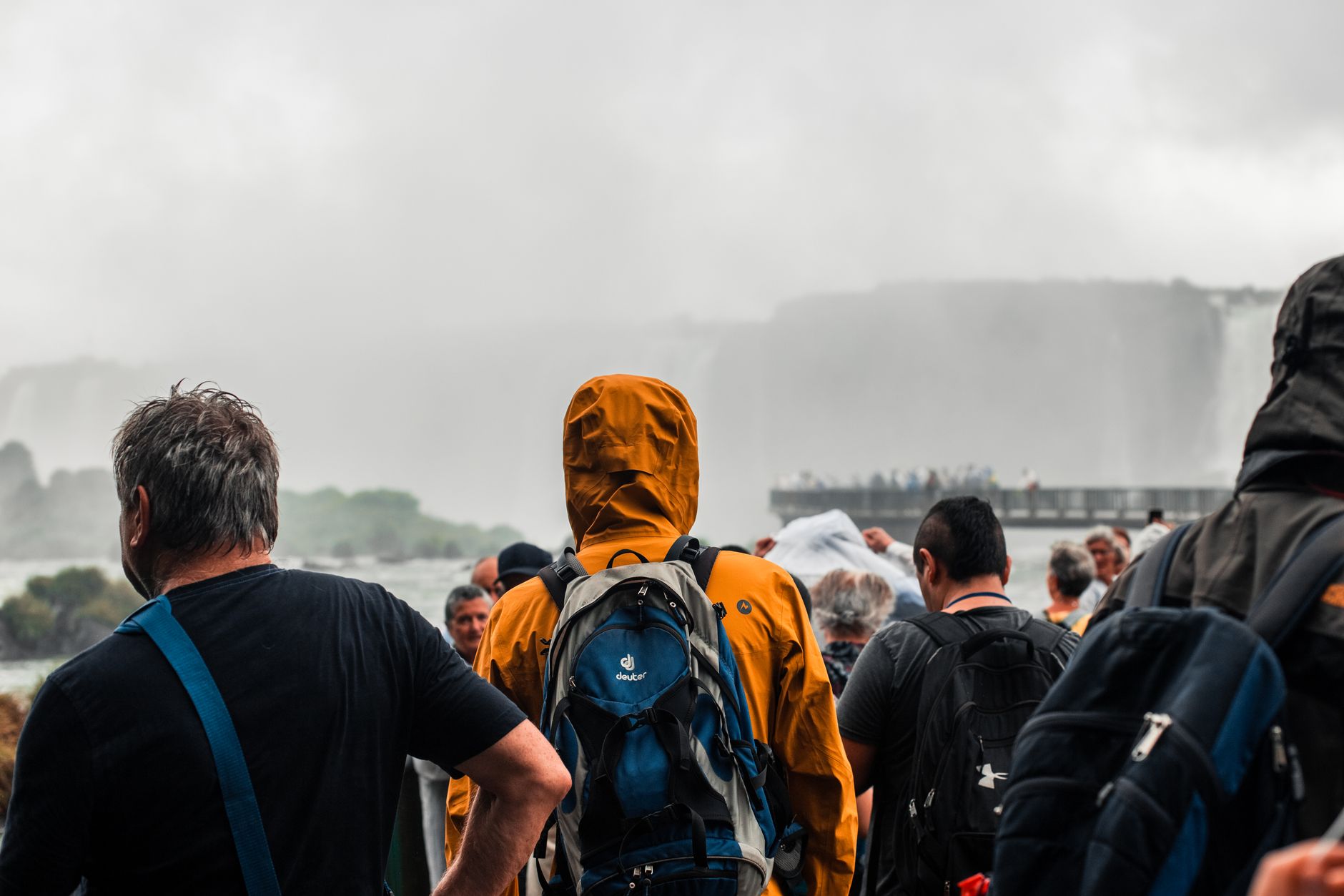
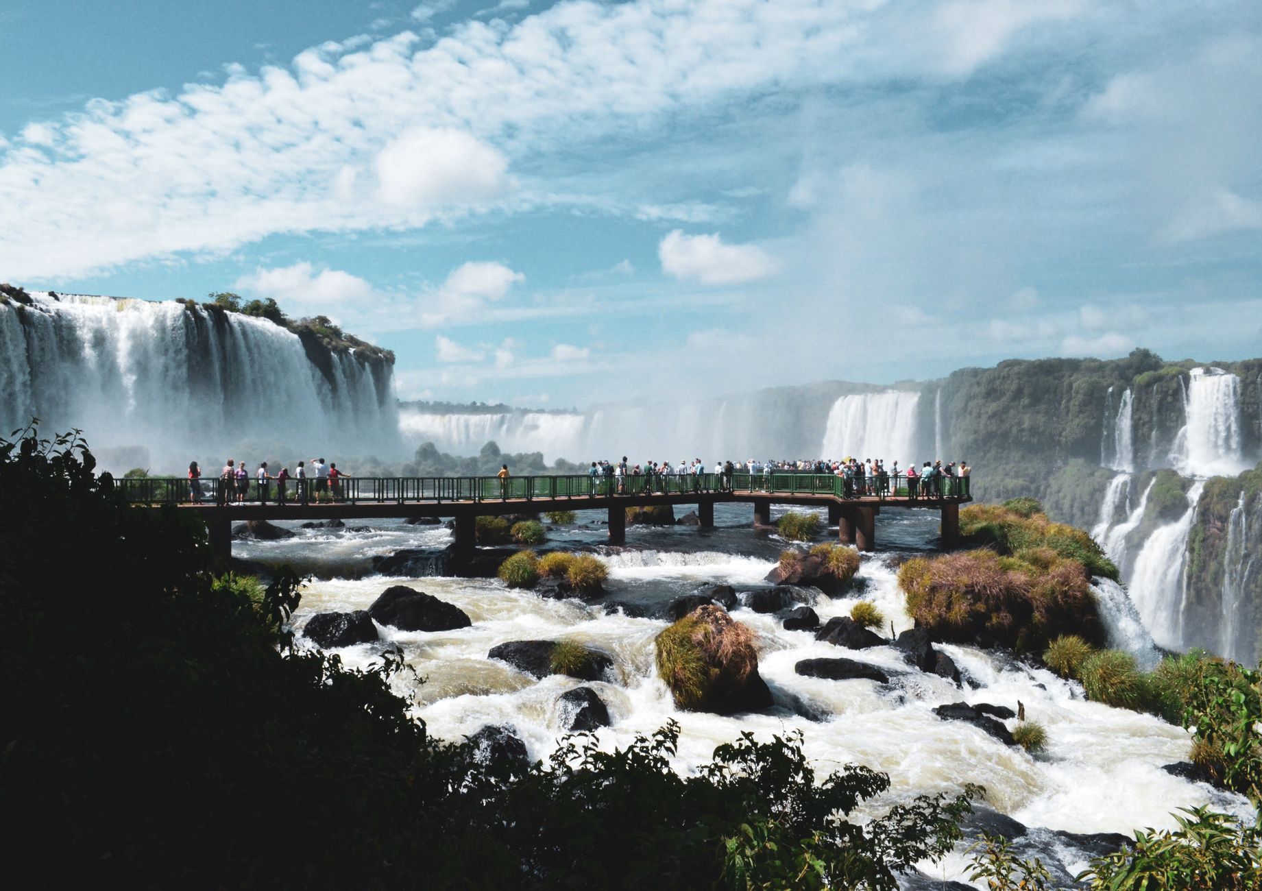
At 979 metres, Angel Falls drops so far that much of the water atomises before it reaches the canyon floor — on calm days, a permanent mist drifts through the jungle below Auyán-tepui long before you can see the falls themselves. There are no roads in. You fly to Canaima Camp, climb into a motorised canoe piloted by Pemon guides, and spend four to six hours reading the Carrao River upstream before a short walk through forest brings you to the base.
The falls pour off the edge of a tepui — a flat-topped sandstone mountain among the oldest exposed rock formations on the continent, shaped more than 130 million years ago. The scale resists easy description, which is probably why people keep trying.
How Angel Falls came to be
American bush pilot Jimmie Angel first spotted the falls on 16 November 1933, flying over Churún Canyon in a Travel Air 6000B while searching for gold. He returned in 1936, landed on top of Auyán-tepui, and spent eleven days descending on foot with his wife Marie and two companions. The name Salto del Ángel appeared on a Venezuelan government map in December 1939. In 1946, Latvian explorer Aleksandrs Laime became the first recorded person of European origin to reach the base alone — the viewpoint Mirador Laime now bears his name.
The official height of 979 metres was established by a survey organised and financed by American photojournalist Ruth Robertson on 13 May 1949. Canaima National Park was formally protected in 1962 and declared a UNESCO World Heritage Site in 1994. Tourists were not permitted to visit Angel Falls until 1990. Jimmie Angel's plane, which sat on top of the tepui for 33 years before being lifted out by helicopter, was restored and now stands outside the airport at Ciudad Bolívar.
Who and what shaped it
People who shaped it
Landmark buildings
See Angel Falls in motion
Plan your visit
On the map
When to go
The rainy season, May through November, brings the highest water volume and the most dramatic falls, but also low cloud that can obscure the view for days at a time. The dry season, December through April, offers clearer skies though the river levels may be too low for canoe access — June to December is generally considered the practical window for river trips.
Right now
Background & history adapted from Wikipedia (CC BY-SA) · specs from Wikidata (CC0) · weather from Open-Meteo · map data © OpenStreetMap contributors · photos from Wikimedia Commons / Unsplash with per-image credit. No third-party reviews or social posts reproduced.