




★★★★★
This Island raised me and made me who I am now. Natural Beauty of God Creation. 🙏
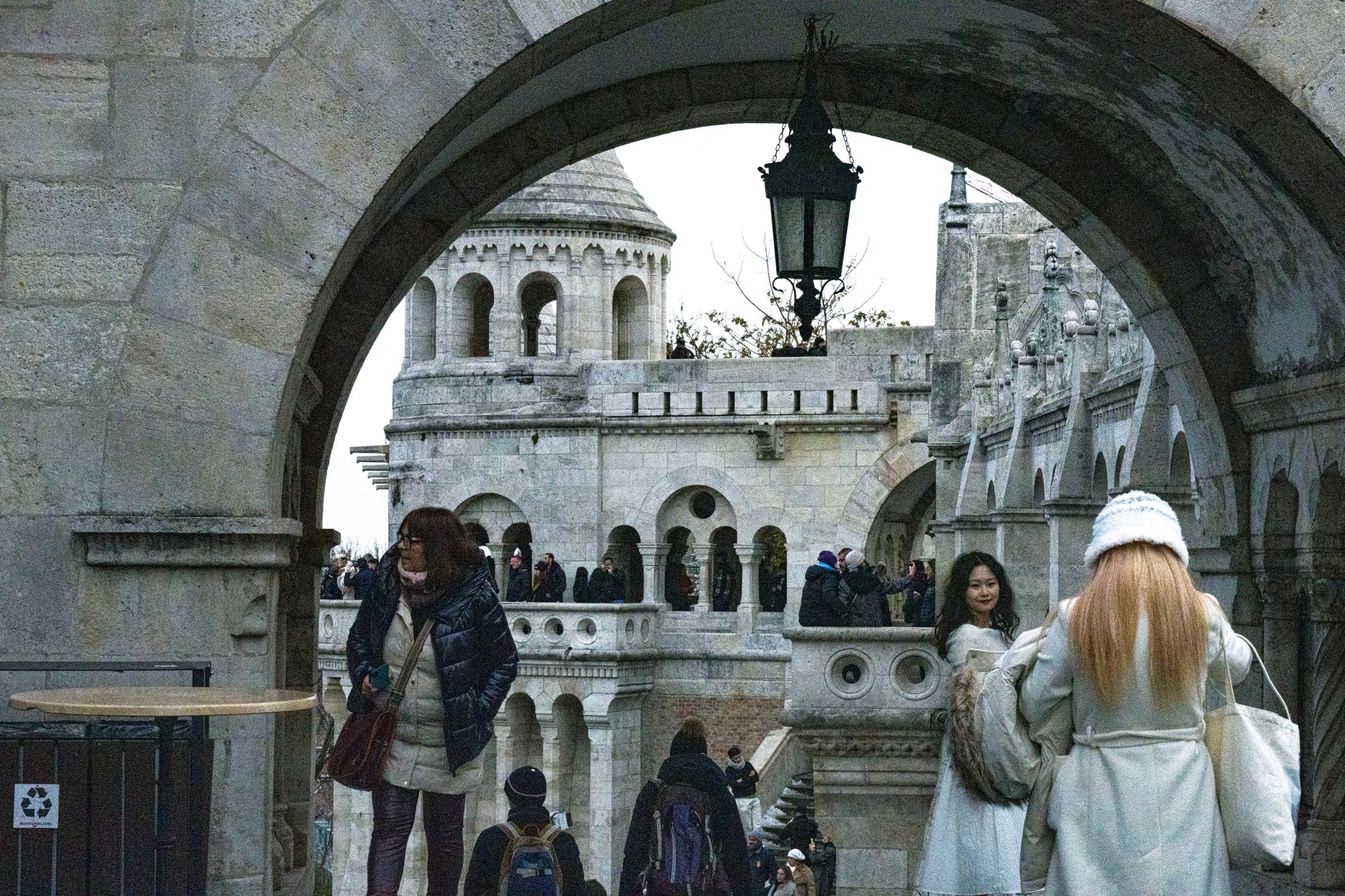
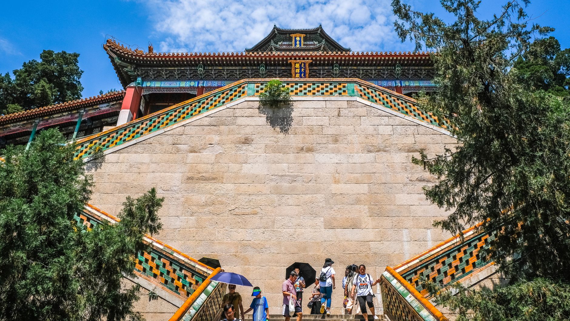

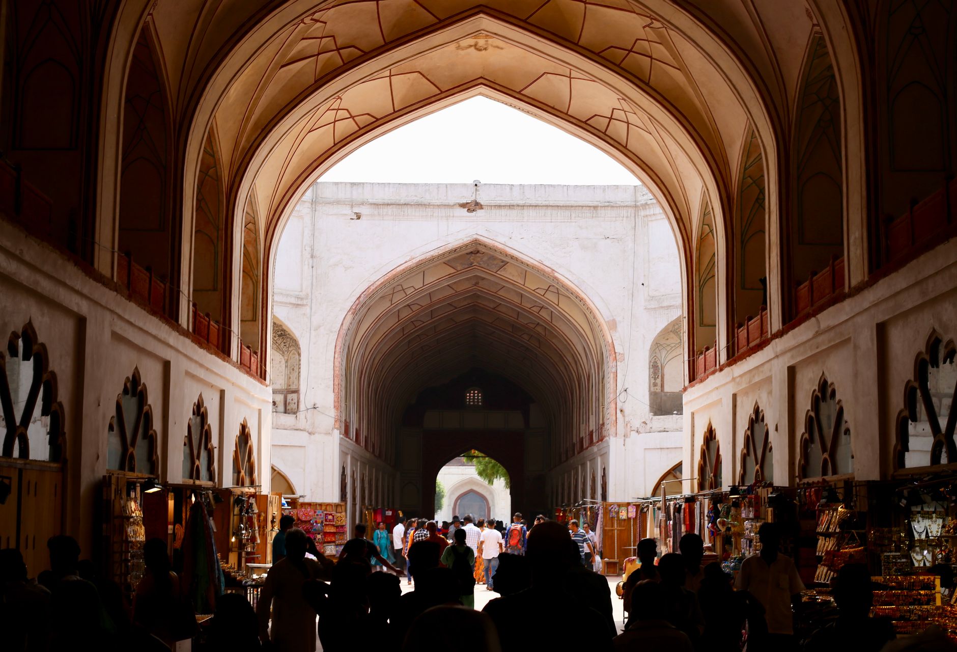
Angaur is the southernmost inhabited state of Palau, a low coral island small enough to walk across in an afternoon, where macaques — descendants of animals that slipped free during the German colonial period — still move through the forest canopy. It is the only place in Micronesia where that is true, and the fact sets the tone: this island accumulates strange, specific history the way the jungle floor accumulates phosphate dust.
The west coast holds the two villages of Ngeremasch and Rois, separated by more than geography. Foxholes and concrete pillboxes surface between the trees. A lighthouse stands abandoned on high ground to the northwest. Angaur rewards the kind of traveller who is comfortable with quiet and doesn't need the infrastructure to match the interest.
People who come back tend to say the same thing: walk the perimeter road early, before the heat builds. The War Memorial is easy to pass quickly — don't. Stand with it. And if you're timing a boat to Babeldaob, confirm the departure the night before; schedules here answer to tide and weather, not the other way around.
A Spanish expedition under Ruy López de Villalobos recorded the island in January 1543, though Spain made no real attempt at administration for another three centuries. Germany took formal possession in 1899 after the Spanish-American War, and within six years District Commissioner Arno Senfft had identified the phosphate deposits that would define Angaur for the next half century. Mining began in 1909, continued under Japanese administration after Palau was seized in World War I and mandated to Japan by the League of Nations in 1920, and ran until 1954.
The island's other defining rupture came in the autumn of 1944. The Battle of Angaur, part of Operation Forager, lasted from September into November. Lieutenant Colonel Henry R. Paige's 7th Antiaircraft Artillery Battalion remained as garrison. On 6 November 1944, the 7th Air Force Engineers built a control tower using steel girders salvaged from a Japanese mill. The bunkers, pillboxes, and foxholes they and their opponents left behind are still there.
Temperatures hold between 78°F and 87°F year-round with humidity around 80%, so the air always carries weight. February through April offers the relative best — fewer downpours, lower typhoon risk — though 'dry season' is a generous description for an island that receives around 2,000 mm of rain annually.
This Island raised me and made me who I am now. Natural Beauty of God Creation. 🙏
I truly miss 😢 this 🏝 Island, my home, the food and the people. And most of all, I miss my mother dearest.
PALAU IS SO BEAUTIFUL BUT WE ARE DESTROYING THIS WORLD AND EVERY SINGLE NATURAL BEAUTY MADE BY GOD
I love Angaur!!
When I went for volunteer work I walked along the runway Just enough distance for a light aircraft to take off and land A quiet and calm island It was nice that there were no tourists The strong sunlight beating down from morning was impressive
Background & history adapted from Wikipedia (CC BY-SA) · specs from Wikidata (CC0) · weather from Open-Meteo · map data © OpenStreetMap contributors · photos from Wikimedia Commons / Unsplash with per-image credit. No third-party reviews or social posts reproduced.
We started Yeppa because finding real travel inspiration felt harder than it should be. The site is young and we're a small team, so we genuinely need the help of early visitors like you: if anything looks broken, odd or just plain wrong, we'd love to hear about it.
Tell us what you ran into: a broken link, a wrong photo, anything odd. We read every message.
Your note is on its way to us. It makes Yeppa better for everyone.
Subscribe to the newsletter and get travel deals & inspiration for trips that start near you.
Check your inbox and confirm your subscription. From then on we'll send you travel deals & inspiration.