City

Aneityum

Aneityum
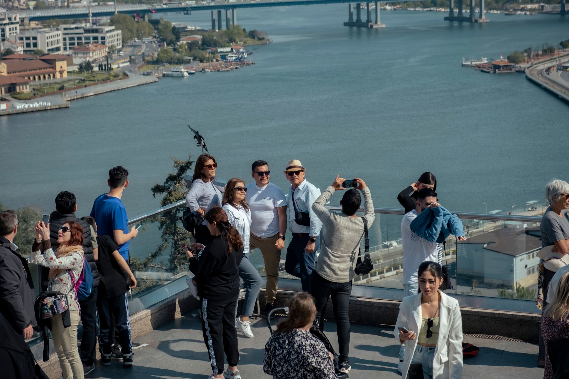
Photo by Ana Hidalgo Burgos on Pexels
Aneityum
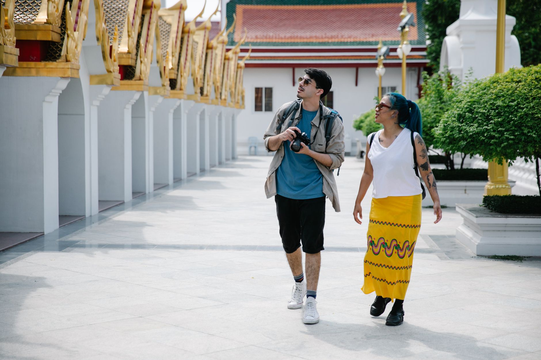
Photo by Zeynep Sude Emek on Pexels
Aneityum
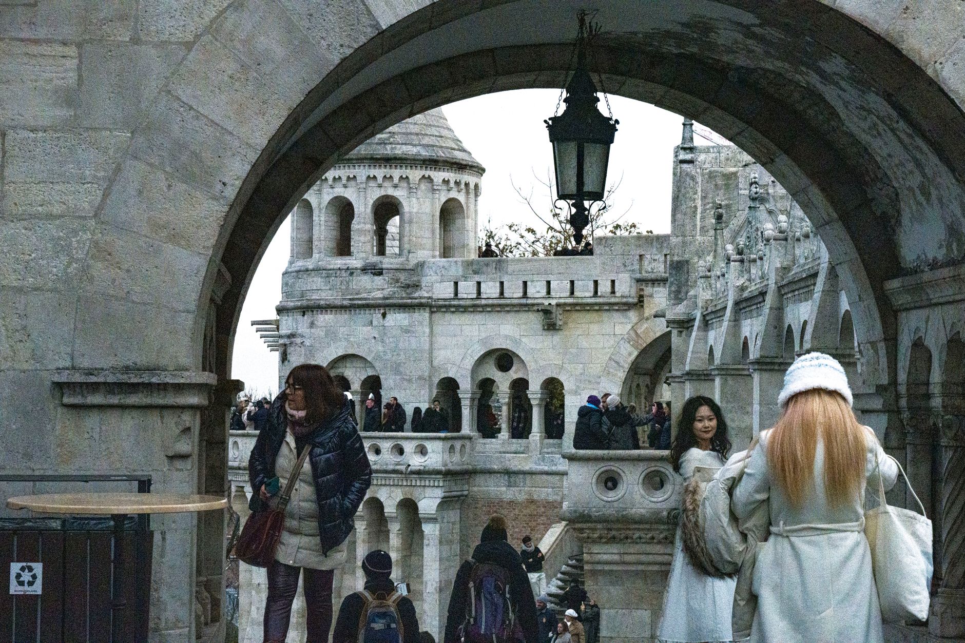
Photo by George Pak on Pexels
Aneityum
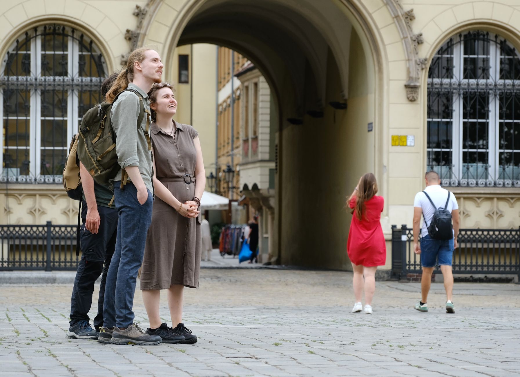
Photo by Jing Zhan on Pexels
Aneityum
Photo by Roman Biernacki on Pexels
Aneityum
Photo by Louis on Pexels

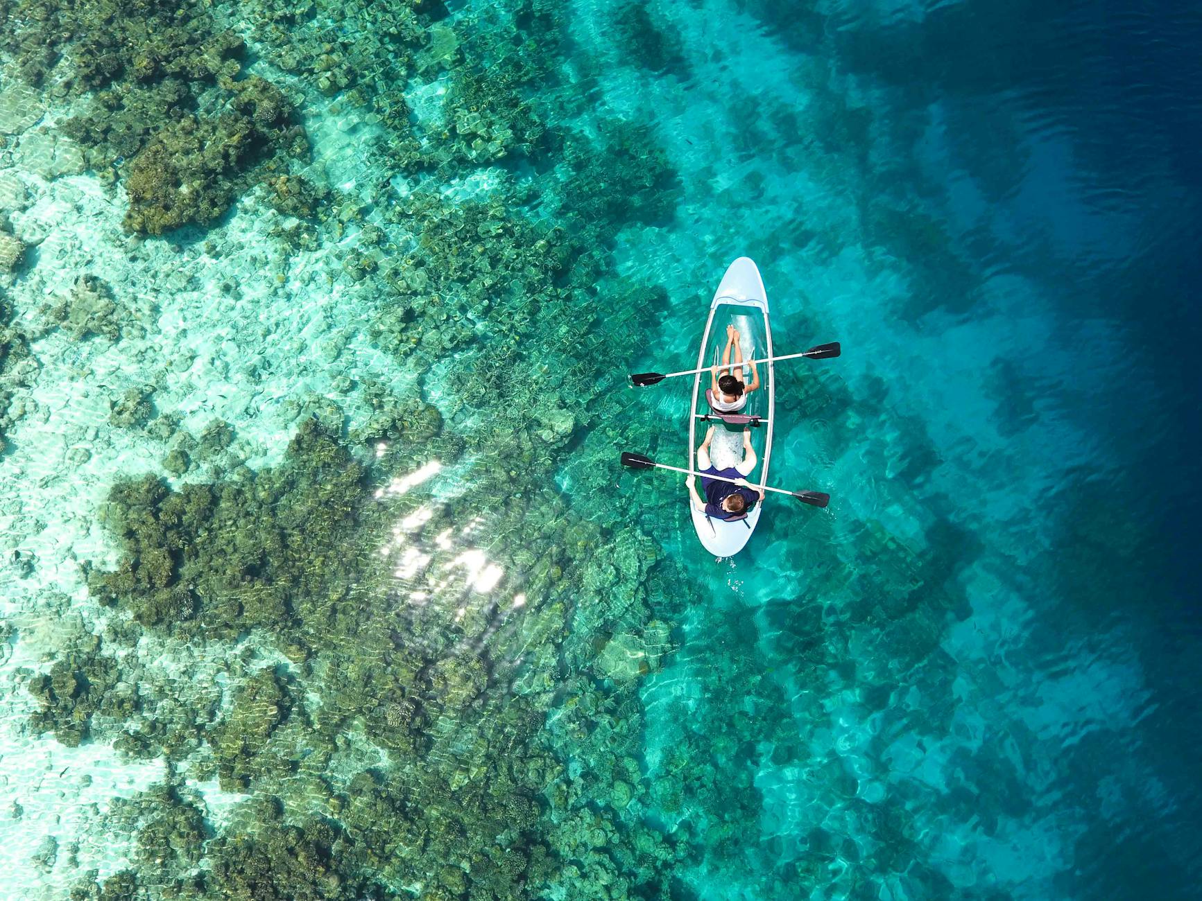
Aneityum is the southernmost island in Vanuatu, and it wears that remoteness plainly. The air smells of papaya and, after rain, of wild ginger rising from the rainforest. Villages are scattered clearings where banyan roots push through the soil around leaf-thatched nakamals, and the evening rhythm is roosters, church bells, then the low drum of a kava circle carrying across the bay.

Fewer than two hundred people live here — a number that tells the island's whole difficult history in a single statistic. What remains is a place of coral-stone ruins, sandalwood gullies, and a small uninhabited island offshore whose wartime airstrip is now the only way in by air.

💛 What travellers fall for

People who come back tend to say the same thing: go with Jonas Tahi on the sandalwood walk behind the mission ruins. He expects a woven bag of rice or tinned fish alongside any cash — negotiate before you set out. The surviving pockets of fragrant heartwood in the hidden gullies make the whole 19th-century stripping of these hills suddenly legible.

Good to know
Fly in on Air Vanuatu's Twin Otter from Tanna three times weekly, or take the fortnightly cargo ship Brisk from Port Vila if flights are full. June through September is drier and easier. Bring your own drinking water and a tent. Sunday means church until noon — no swimming, no boats before the hymns finish.

Deals in Aneityum

Book directly at the provider
The story

How Aneityum came to be

James Cook charted Aneityum in 1774, calling it Anatom, but the island had been settled since around 874 BCE, its people originating from Tanna. European contact accelerated after 1830, when the brig Alpha arrived for sandalwood. The trade that followed stripped the hills within decades.

Presbyterian missionaries arrived in waves — Samoans in 1841, then John Geddie from Nova Scotia on 31 July 1848, establishing the first permanent European mission station in the archipelago. Geddie translated Scripture into the local language; his 1853 stone house still stands, the oldest colonial building in Vanuatu. The coral-stone church his congregation built in 1860 — large enough for a thousand people — was destroyed by earthquake and tsunami in 1910, though its walls remain. Introduced disease and blackbirding had already reduced a pre-contact population of perhaps 20,000 to fewer than 200 by 1930.

People & landmarks

Who and what shaped it

People who shaped it

John Geddie
Presbyterian missionary from Nova Scotia; arrived 31 July 1848 and established the first permanent European mission station in the Vanuatu archipelago; translated Scripture into local language.
James Cook
British navigator who charted Aneityum in 1774, naming it Anatom; first European to officially map the island.
James Hay Lawrie
Reverend stationed at Aname mission on the north of the island from 1879–1896.
John Inglis
Scottish Presbyterian missionary who arrived in 1852 and worked alongside John Geddie.

Landmark buildings

Presbyterian Church Ruins
Coral stone structure built 1860 (30 m × 12.5 m, capacity 1,000); destroyed by earthquake and tsunami 1910; primary historical monument with walls still standing.
Geddie House
Stone house built 1853 by John and Charlotte Geddie; oldest standing colonial building in Vanuatu and one of the oldest in Melanesia.
Watch

See Aneityum in motion

Practical

Plan your visit

On the map

When to go

June through September brings the driest, most manageable weather, with around nine or ten rainy days a month and temperatures sitting comfortably around 24°C. January through April is wet and heavy — March alone averages 23 rainy days — so unless you have a specific reason to visit in the cyclone season, plan around the southern-hemisphere dry months.

Right now

23°C
Partly cloudy
Sat
🌧️
23°
20°
Sun
🌧️
22°
20°
Mon
🌦️
20°
19°
Tue
🌦️
21°
18°
Weather data: Open-Meteo

Background & history adapted from Wikipedia (CC BY-SA) · specs from Wikidata (CC0) · weather from Open-Meteo · map data © OpenStreetMap contributors · photos from Wikimedia Commons / Unsplash with per-image credit. No third-party reviews or social posts reproduced.

Top