
Andaman and Nicobar Islands
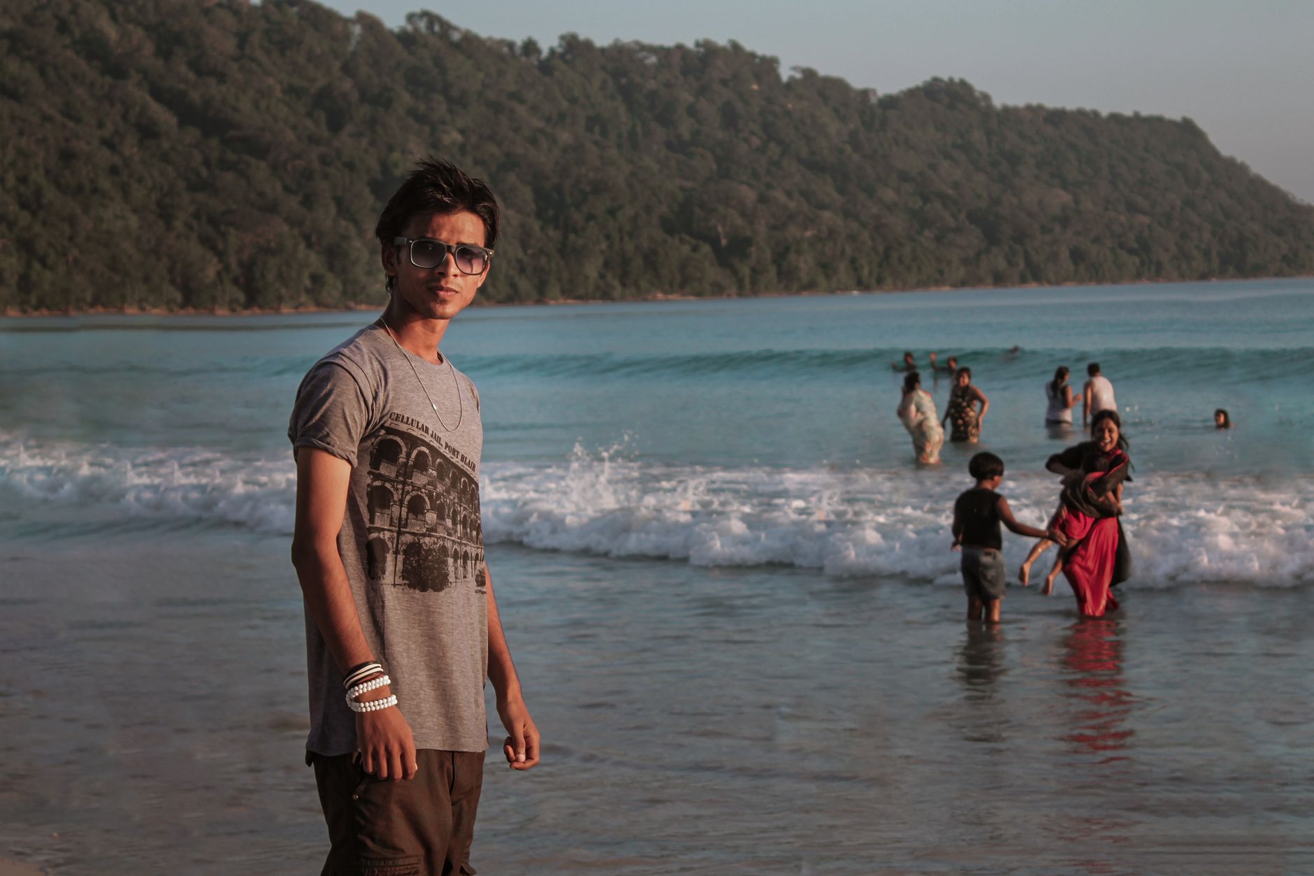
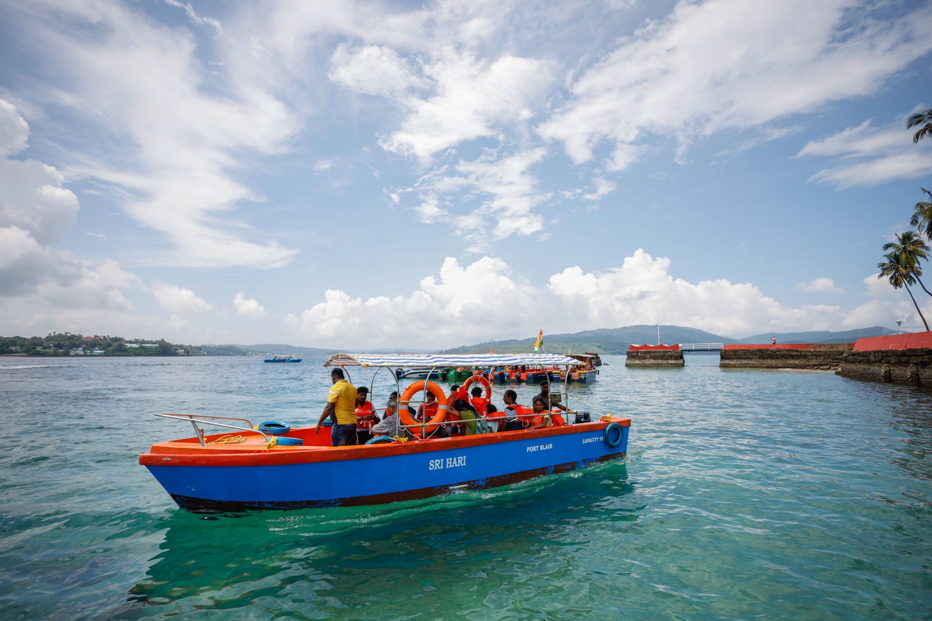
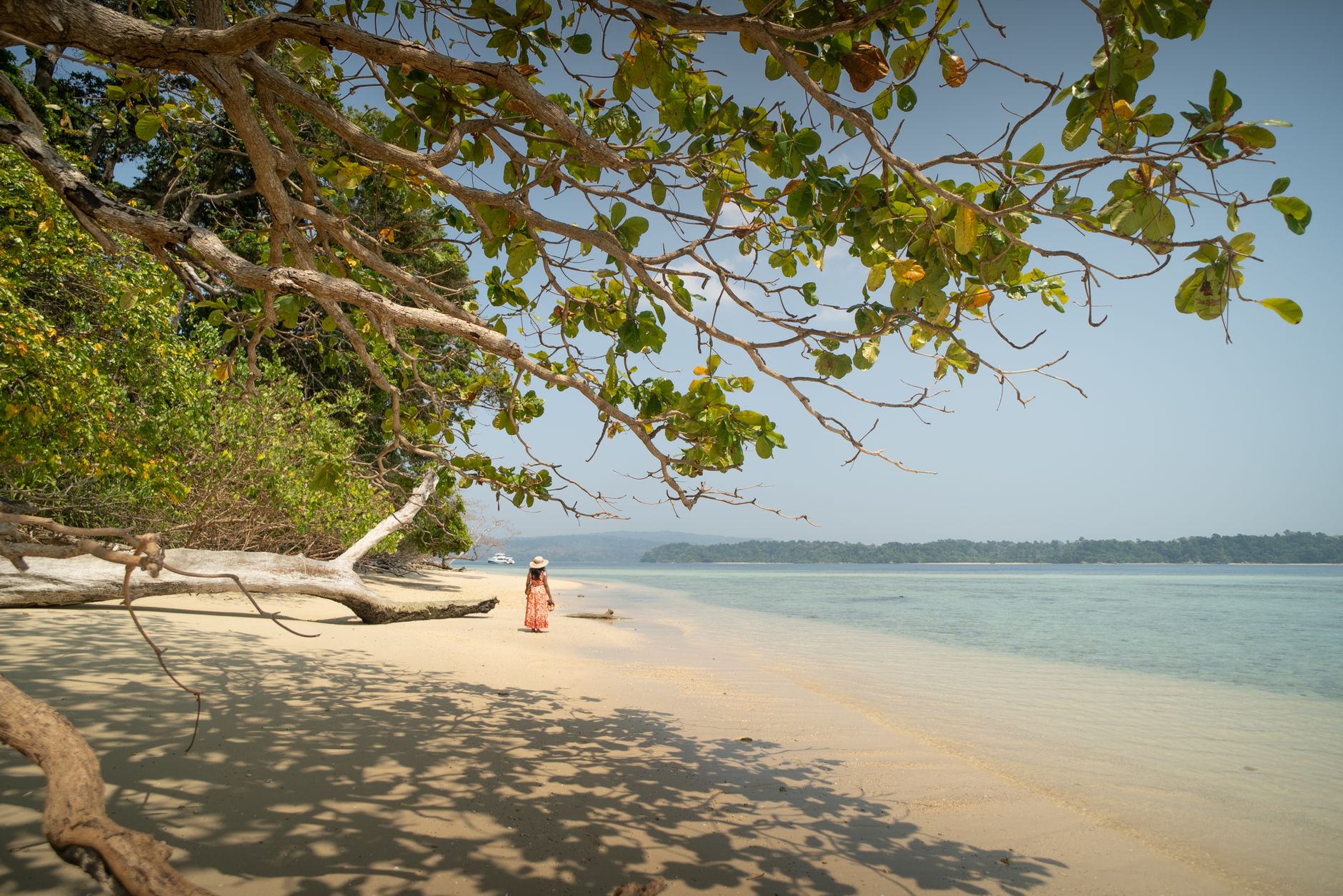
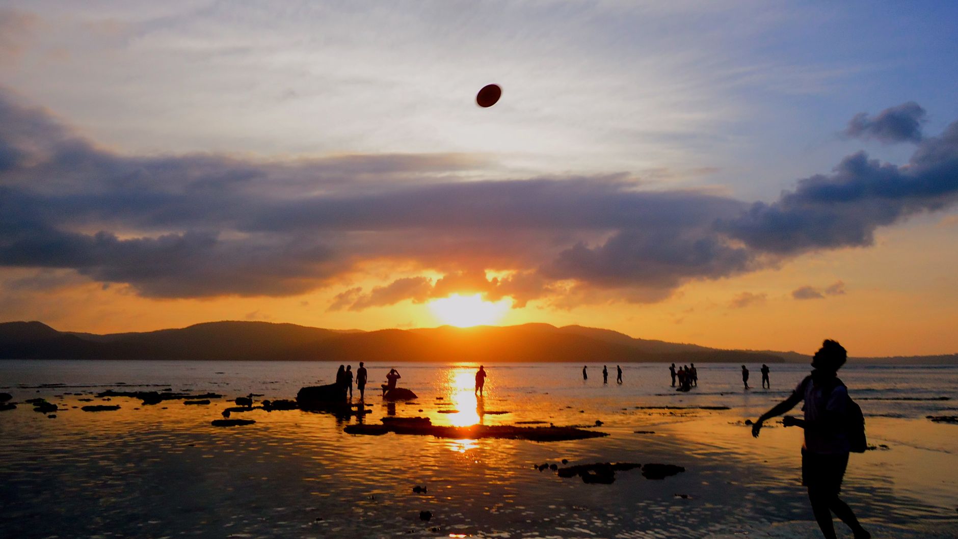

The Andaman and Nicobar Islands sit in the Bay of Bengal closer to Myanmar and Thailand than to the Indian mainland — a fact that explains almost everything about them. The light is different here, the water runs from pale turquoise to deep green depending on depth, and the indigenous peoples who have lived on these islands for tens of thousands of years remain among the most isolated communities on earth.
Port Blair is your entry point and your base for the larger archipelago, but the real pull is outward: to islands still largely forested, to reefs that see far fewer divers than those of Southeast Asia, and to a colonial and wartime history that left unusually concrete traces.
How Andaman and Nicobar Islands came to be
The islands' indigenous Andamanese people have lived here since the Middle Paleolithic, genetically and culturally isolated for perhaps 30,000 years. Tamil Chola texts from 1050 AD name them Ma-Nakkavaram; Marco Polo called them Necuverann. The Danish East India Company arrived in the Nicobars in 1755, the Austrians briefly renamed them the Theresia Islands, and Denmark eventually sold its rights to Britain in 1868.
Britain's most lasting mark was the Cellular Jail at Port Blair — seven wings radiating from a central tower, 698 cells each measuring 4.5 by 2.7 metres, built between 1896 and 1906 to hold political prisoners. During the Second World War, Japanese forces occupied the islands; Subhash Chandra Bose renamed them Shaheed-dweep and Swaraj-dweep. The 2004 Indian Ocean tsunami killed more than 2,000 people here and partially submerged the Indira Point Lighthouse at India's southernmost tip.
Who and what shaped it
People who shaped it
Landmark buildings
See Andaman and Nicobar Islands in motion
Plan your visit
On the map
When to go
The dry season runs roughly from November to April, when seas are calm and visibility underwater is at its best — the window most visitors aim for. The southwest monsoon arrives in May and can persist through October, bringing heavy rain and rough crossings that close some island routes entirely.
Right now
Background & history adapted from Wikipedia (CC BY-SA) · specs from Wikidata (CC0) · weather from Open-Meteo · map data © OpenStreetMap contributors · photos from Wikimedia Commons / Unsplash with per-image credit. No third-party reviews or social posts reproduced.