
Amboseli National Park
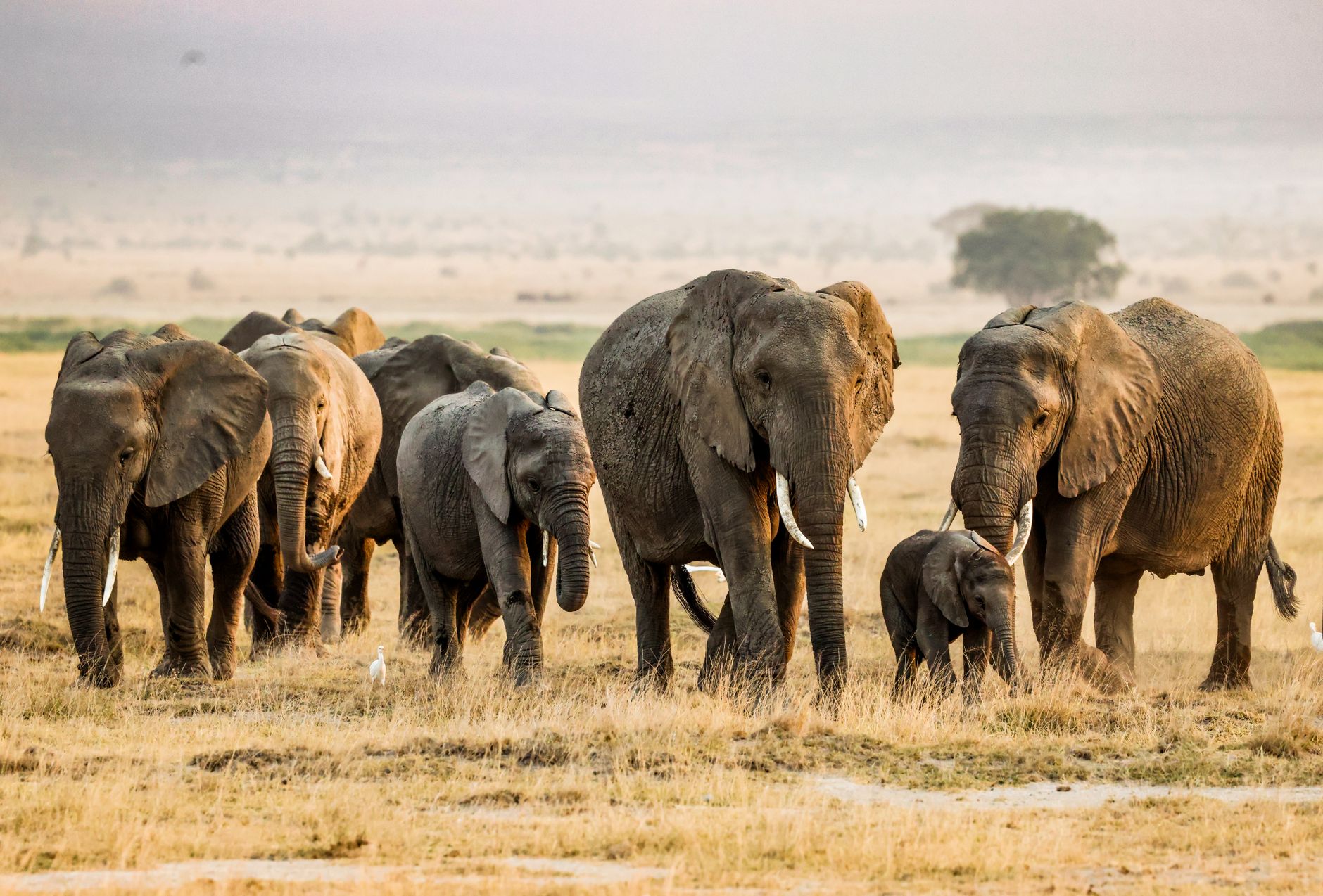

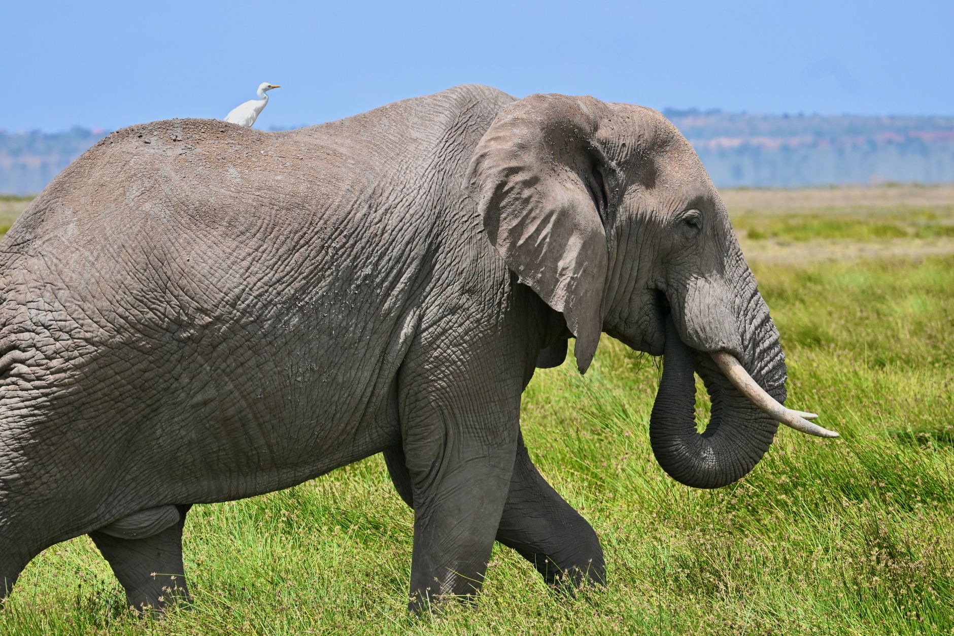
Stand anywhere in Amboseli on a clear morning and Kilimanjaro fills the northern sky — all 5,895 metres of it, snow-capped and improbable above the acacia scrub. The mountain is Tanzanian, but it belongs visually to this park in a way that shapes everything: the glacial meltwater seeping underground feeds the Enkongo Narok and Longinye swamps, which in turn draw the elephants, hippos, buffalo, and the 400-odd bird species that make Amboseli one of the most reliably alive stretches of East African savannah.
The park covers roughly 392 square kilometres of semi-arid basin at about 1,100 metres elevation. In the dry months the lake bed is a flat white salt pan; after the rains, flamingos and pelicans appear on water that wasn't there a week before. Ol Tukai's yellow fever trees offer shade to elephants and lions in roughly equal measure.
💛 What travellers fall for
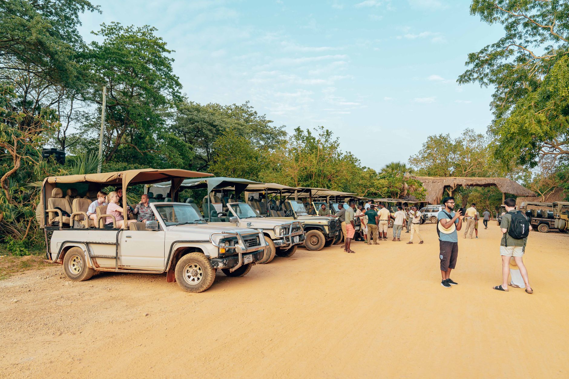
People who come back tend to head straight for Observation Hill at dawn — the cone-shaped volcanic rise is the one place where the whole park lays itself out at once. They also book through Safarilink rather than driving; four hours on the road from Nairobi eats a morning that could be spent watching elephants cross the swamp.
How Amboseli National Park came to be
The territory that became Amboseli was set aside in 1906 as the Southern Reserve for the Maasai, then reorganised as a game reserve under local control in 1948. It was gazetted a national park in 1974 and declared a UNESCO site in 1991. In October 2025, a Deed of Transfer handed management to the County Government of Kajiado — a shift that reflects the long argument, still unresolved elsewhere in Africa, over who should govern land that communities and wildlife share.
The park's scientific record is as significant as its legal one. Cynthia Moss founded the Amboseli Elephant Research Project in 1972, building one of the longest-running studies of wild elephants anywhere. Joyce Poole, working here from 1975, identified infrasound as a channel of elephant communication. David Western, researching in Amboseli from the 1960s, developed the framework that became known as community-based conservation.
Who and what shaped it
People who shaped it
Landmark buildings
See Amboseli National Park in motion
Plan your visit
On the map
When to go
June through October is dry, sunny, and best for game drives, though nights drop to around 15°C so bring a layer. The long rains run mid-March to mid-May and the short rains from late October into December — the park stays open, the landscape turns green, and the lake basin can flood into temporary wetland.
Right now
Background & history adapted from Wikipedia (CC BY-SA) · specs from Wikidata (CC0) · weather from Open-Meteo · map data © OpenStreetMap contributors · photos from Wikimedia Commons / Unsplash with per-image credit. No third-party reviews or social posts reproduced.