
Ambergris Caye
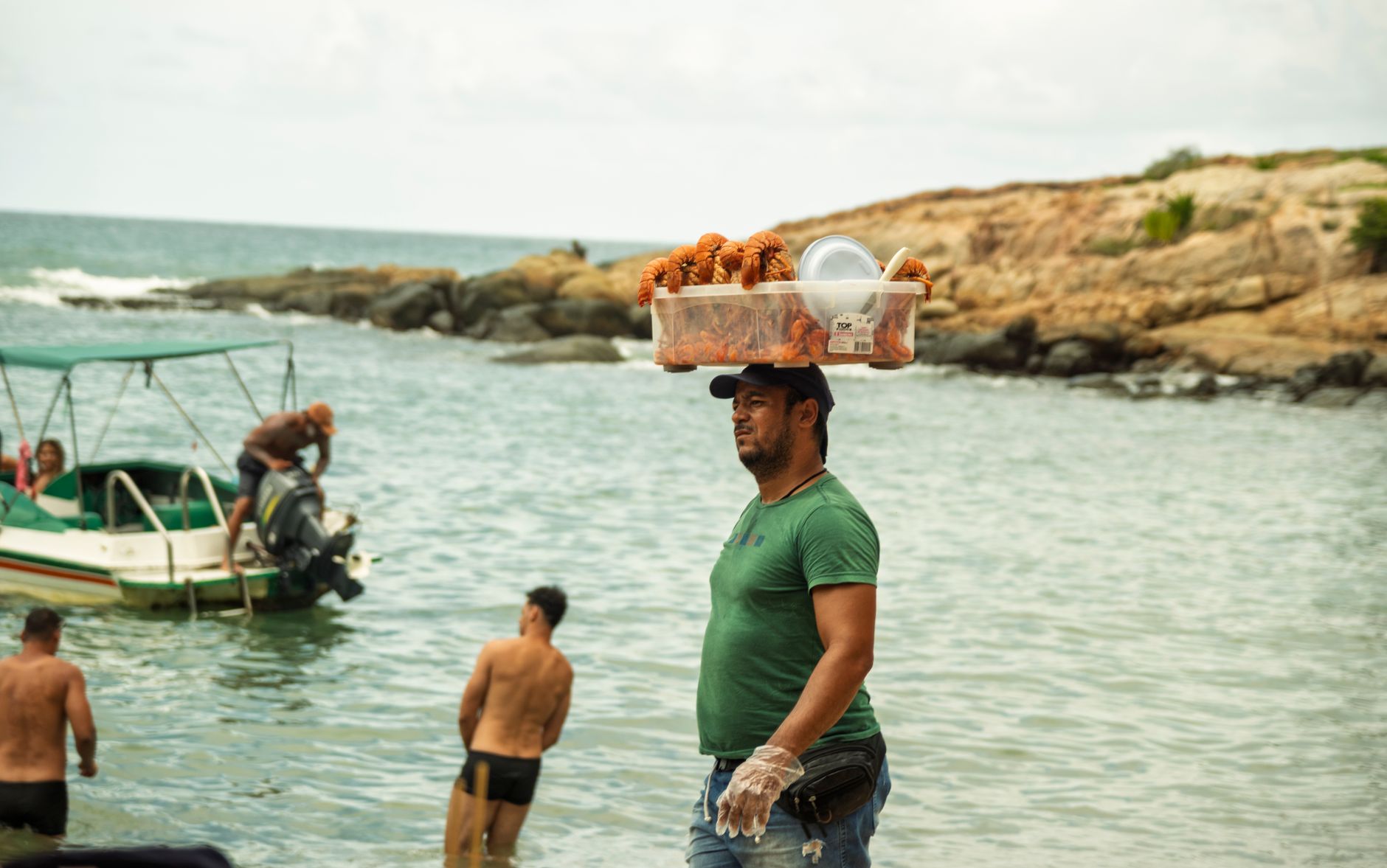
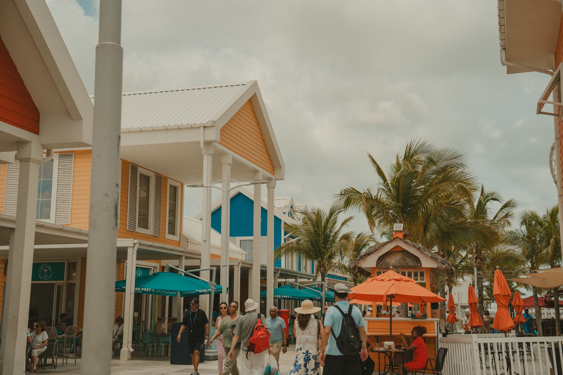

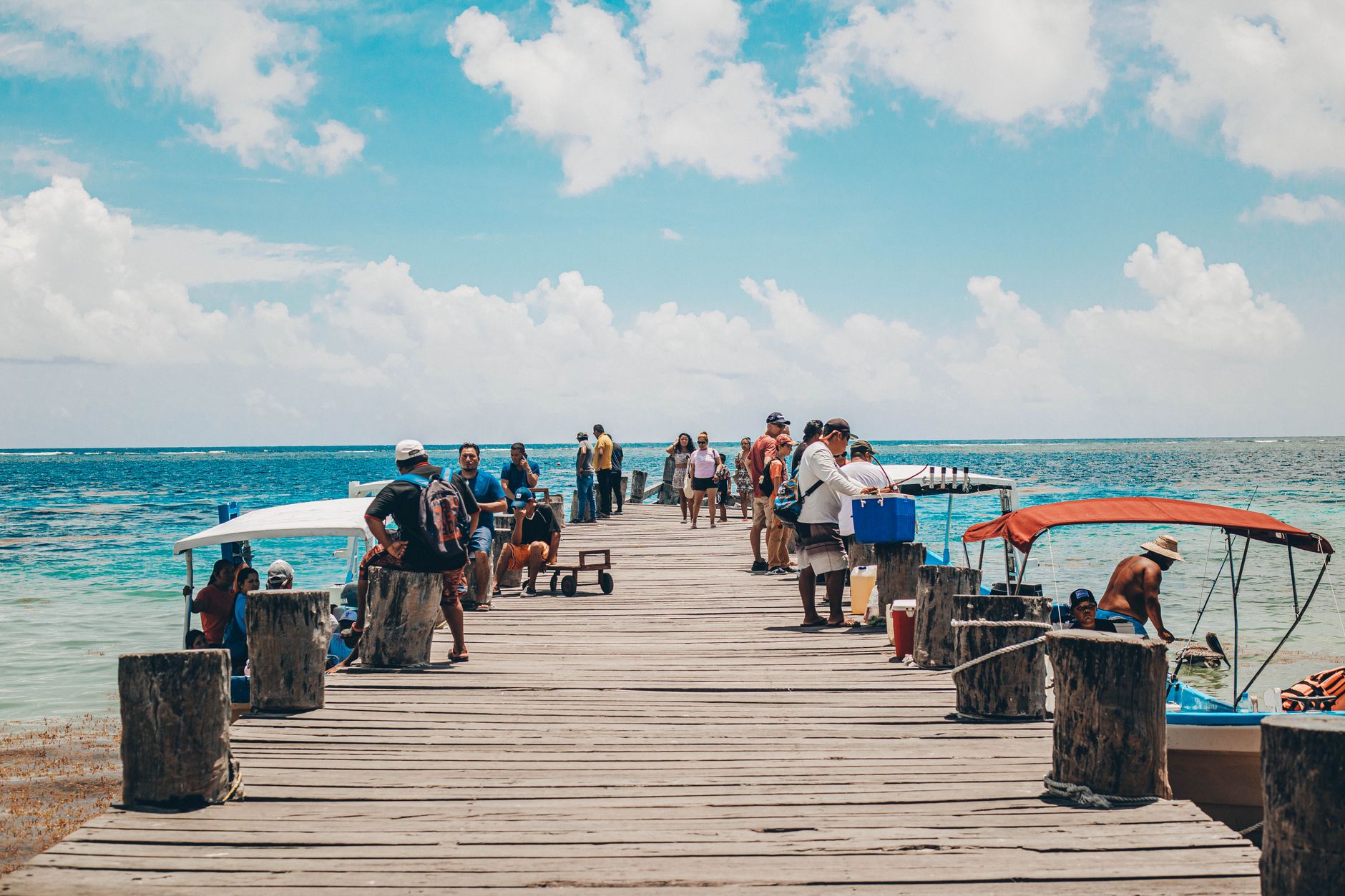
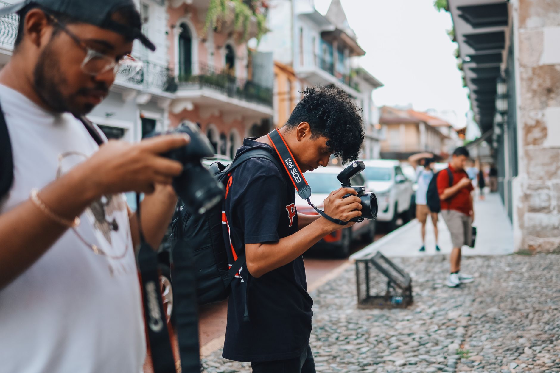
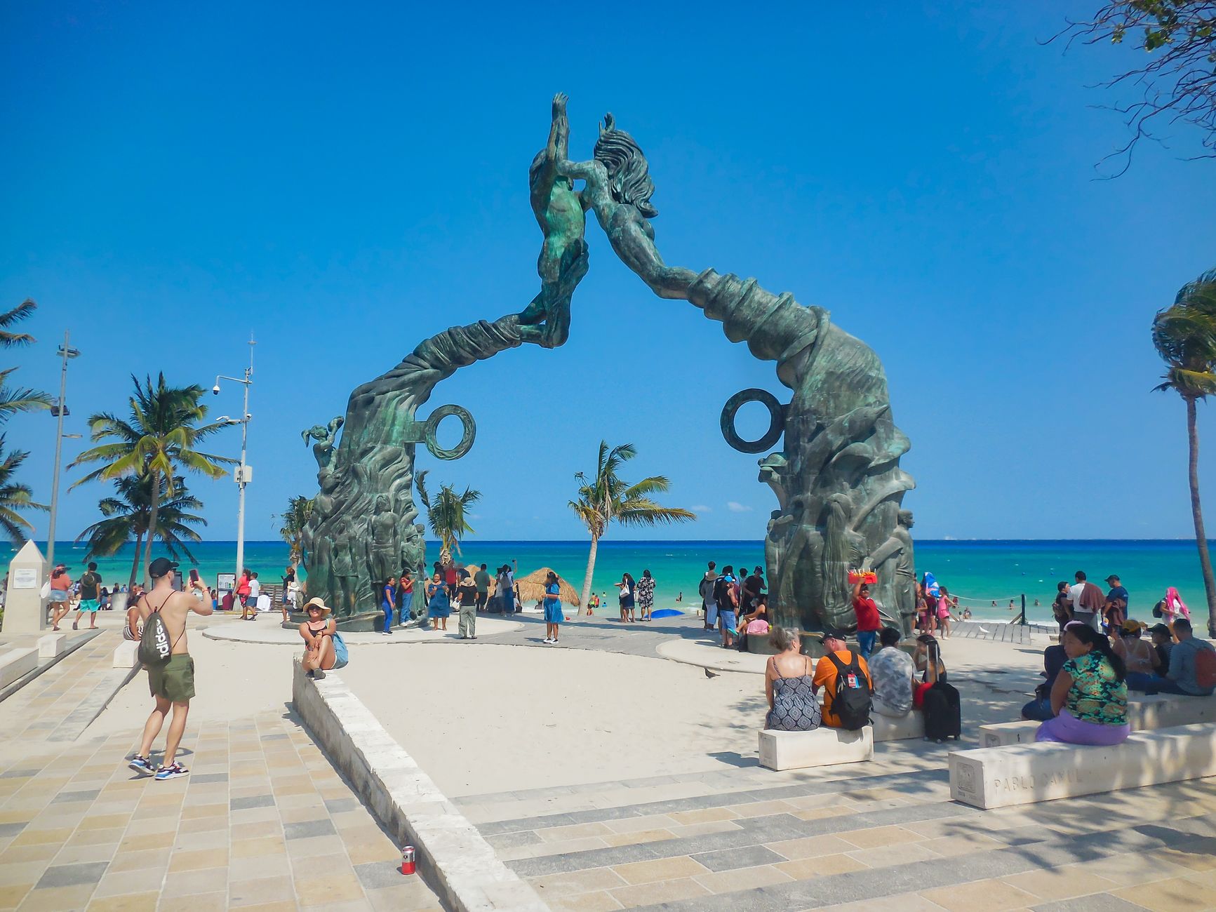
Ambergris Caye is a long, thin sliver of island off the northeast coast of Belize, separated from Mexico by a channel the ancient Maya cut through the land roughly 1,500 years ago to speed up trade routes. That canal, Bacalar Chico, is still there. The island it created is now the largest caye in Belize, and its eastern shore runs parallel to the second-largest barrier reef on earth.
San Pedro Town is the island's centre of gravity — a grid of streets decorated with murals, lined with beach bars and restaurants, and navigated almost entirely by golf cart. Head north or south and the roads turn unpaved and quiet. The west coast holds Secret Beach, where calm water and seagrass-free shallows draw a steady crowd despite the name.
How Ambergris Caye came to be
The Maya were here long before the island had a tourist brochure. They left polished red ceramics and, more consequentially, Bacalar Chico — a channel they dug to connect the Yucatán coast with Belize, turning the peninsula into an island and creating a faster trade corridor. Pirates came later, finding the cayes well-suited for quick raids and quiet retreats. British, French, and Dutch crews all reportedly used the area.
San Pedro Town took shape during the War of the Castes, which broke out in 1847 between Maya communities and European settlers and ground on until 1901. In 1869, James Hume Blake bought the entire island at auction for $625. He and his wife Antonia Andrade turned it into a coconut plantation. Tourism arrived in the early 1970s and, slowly then all at once, reshaped what the island became.
Who and what shaped it
People who shaped it
Landmark buildings
See Ambergris Caye in motion
Plan your visit
On the map
When to go
February through May is the most settled window — temperatures in the low-to-mid 80s by day, with limited rain and low humidity by local standards. The wet season runs July through January, punctuated by a brief dry spell in August; hurricane season overlaps from June to November, so travel insurance earns its keep if you're visiting then.
Right now
Background & history adapted from Wikipedia (CC BY-SA) · specs from Wikidata (CC0) · weather from Open-Meteo · map data © OpenStreetMap contributors · photos from Wikimedia Commons / Unsplash with per-image credit. No third-party reviews or social posts reproduced.