






★★★★★
Ambae will be famous for its Lake Manaro Summit Volcano. Camping sites and it will surprise you...a mystery Lake Voui and Lake Gesa.
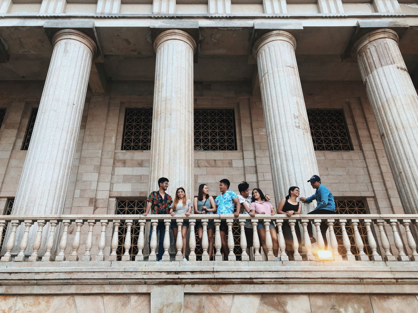
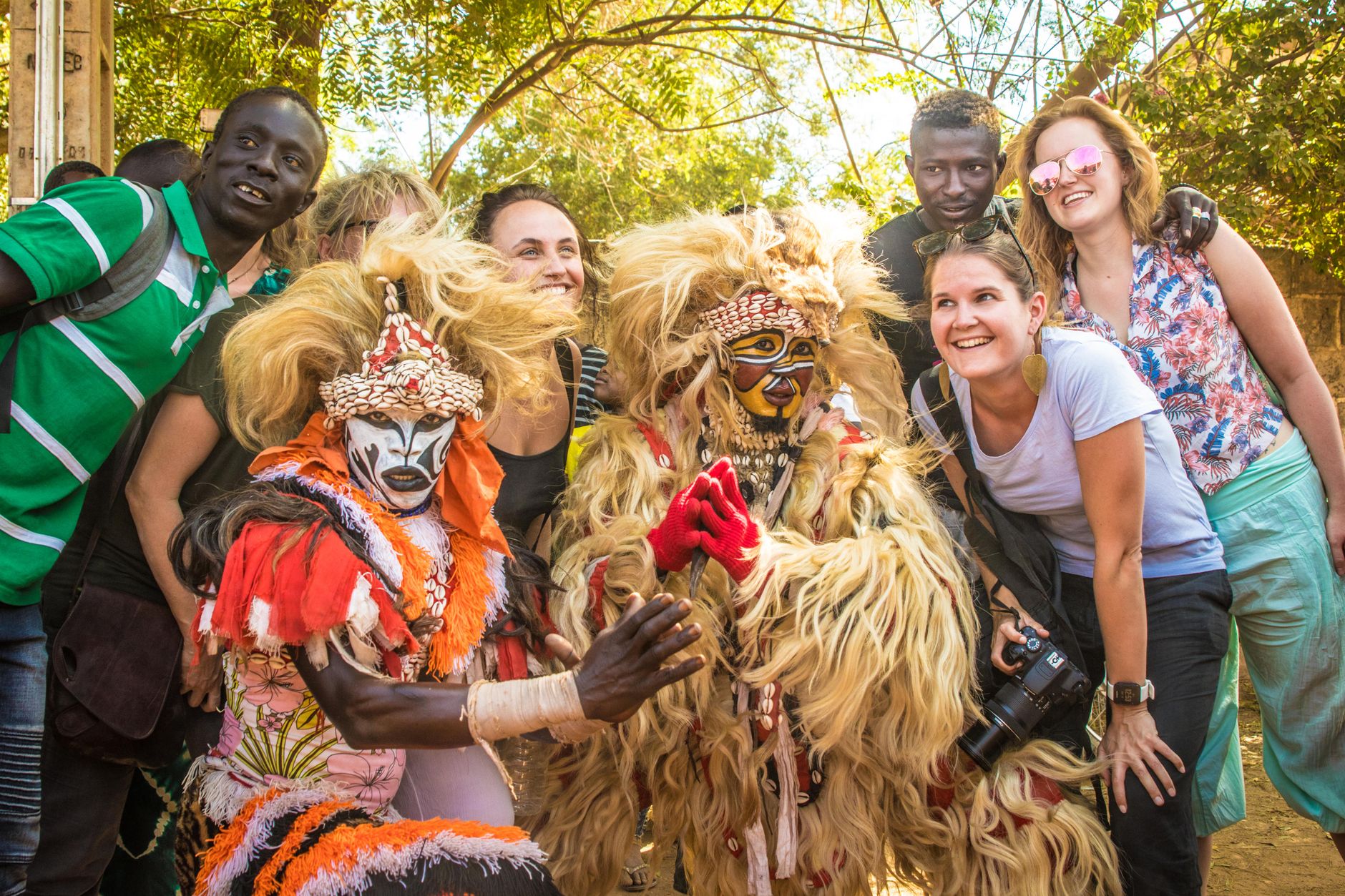
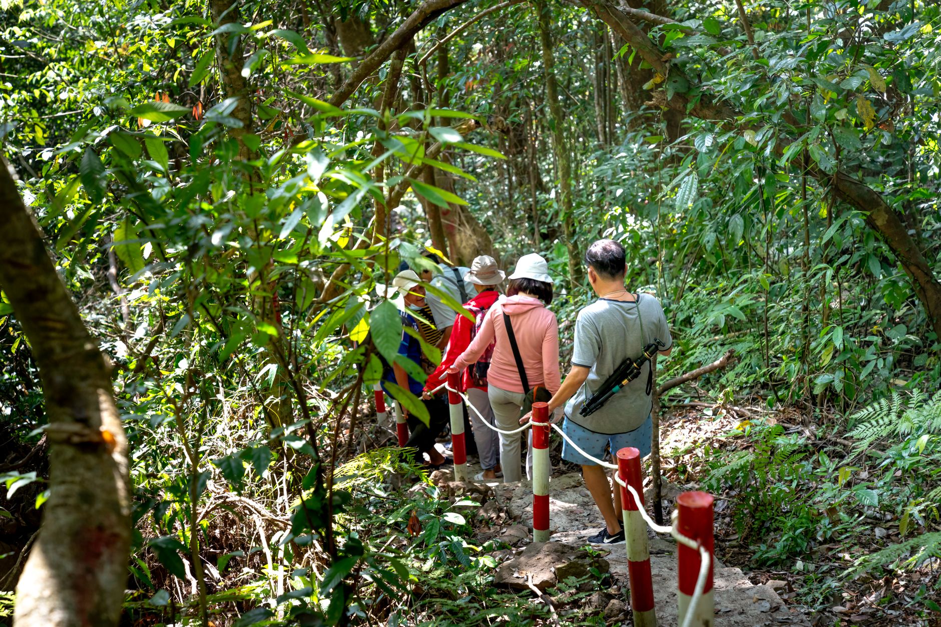
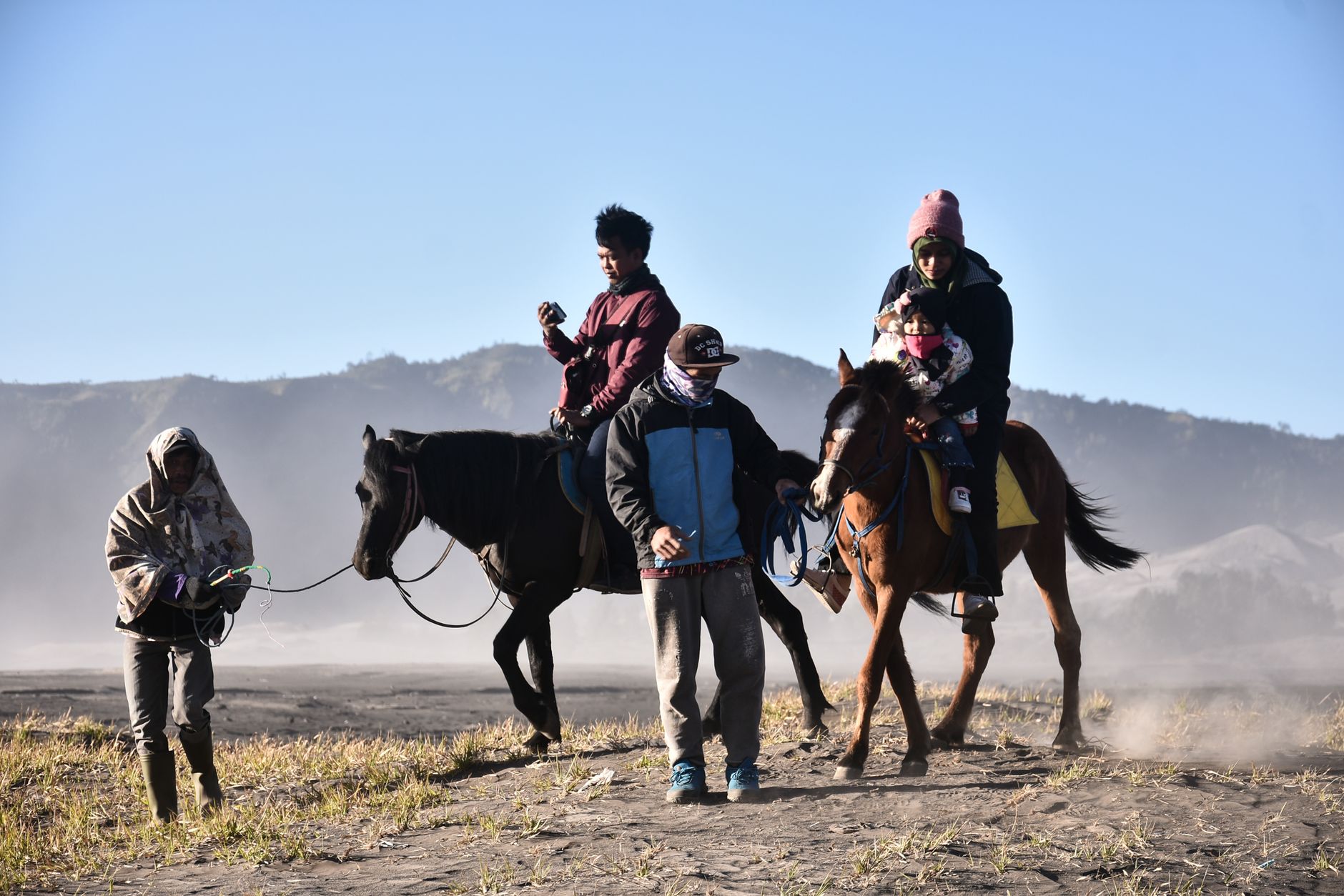
Ambae is an island built almost entirely by a single volcano — Manaro Voui — which rises nearly four kilometres from the sea floor before breaking the surface at 1,496 metres. At the summit sit three crater lakes, the largest of which, Voui, has been quietly reshaping the island since at least the 1600s. The whole place is, in geological terms, still very much in progress.
That active history makes Ambae unlike most of Vanuatu's other islands. Evacuations in 2017 and 2018 displaced the island's roughly 11,000 residents, and the volcano last stirred in late 2023. Visitors come knowing the ground here has a say in the itinerary.
People who keep coming back to Ambae tend to say the same thing: the west coast, around Nduindui, rewards patience. Toa Palms Bungalows gives you a quiet base from which to watch the light change over the water. The ferry from Luganville is the way most regulars arrive — slower than flying, but the approach by sea is worth the extra hours.
Pedro Fernández de Quirós became the first European to record the island in 1606, though the people of Ambae had long since developed distinct language groups across the north, west, and south of the island. Europeans later renamed it Lepers' Island — a label that stuck through the colonial period and was eventually retired.
The volcano's timeline runs parallel to the human one. Summit calderas formed around 1640, a tuff cone grew inside Lake Voui around 1700, and the mountain then went quiet for roughly 150 years. It woke again in 1991 with gas discharges beneath Lake Voui. The 2005 eruption displaced over 3,000 people; the 2017 event cleared the entire island. Women's rights activist Merilyn Tahi, Ambae's most prominent public figure, co-founded the Vanuatu Women's Centre during this same era of upheaval and rebuilding.
The coast sits at an average of 30°C year-round. The wet season runs roughly November through April, bringing heavier rain and the occasional cyclone; the drier months from May to October are generally the more settled time to visit, though the volcano operates on its own schedule entirely.
Ambae will be famous for its Lake Manaro Summit Volcano. Camping sites and it will surprise you...a mystery Lake Voui and Lake Gesa.
Ambae is one of the richest volcanic island in Vanuatu...🥰🥰
I love this place because I am for ambae
Because I have been studying in ambassador for two years.
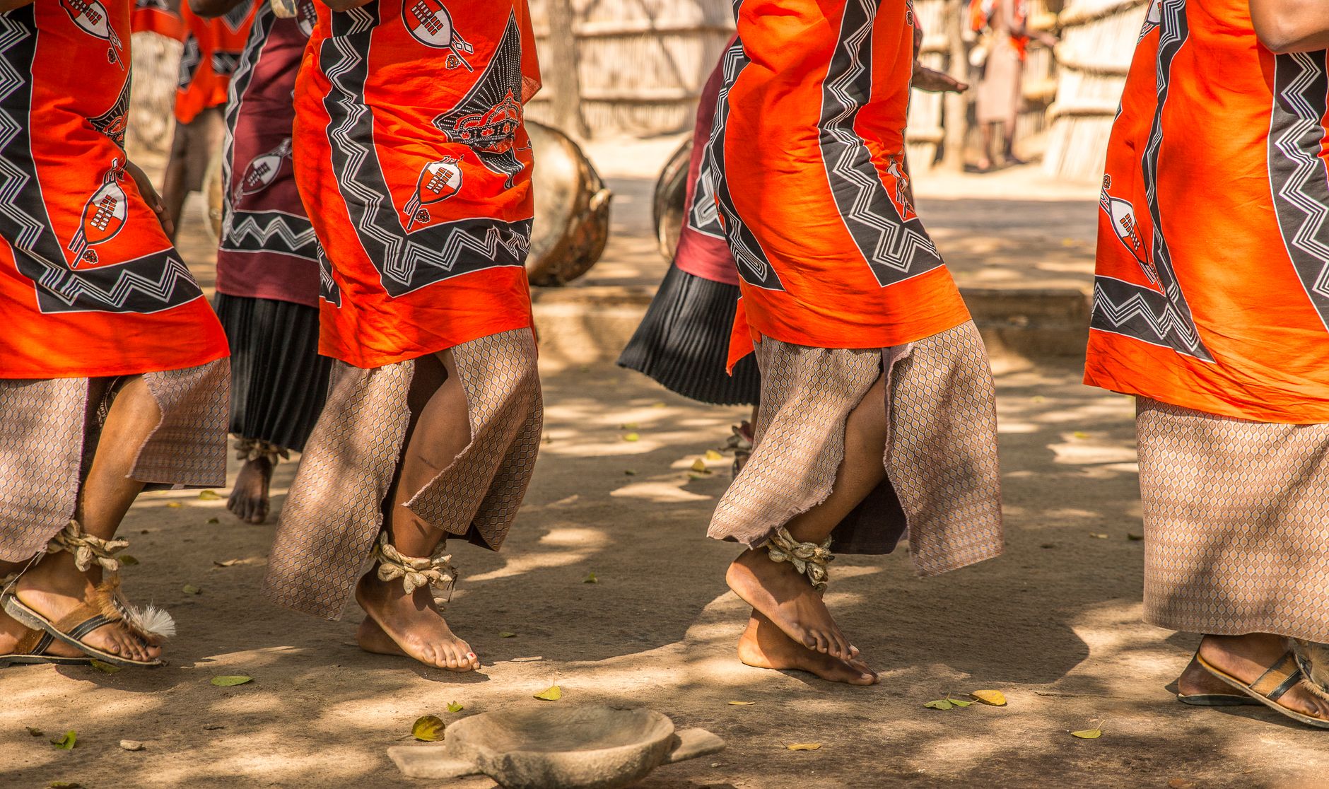
Ambae it's one of the most unique place on earth.friendly people.hiking to volcano 🌋🌋 village activities like custome dance and plenty more of the special places you can visit.
Background & history adapted from Wikipedia (CC BY-SA) · specs from Wikidata (CC0) · weather from Open-Meteo · map data © OpenStreetMap contributors · photos from Wikimedia Commons / Unsplash with per-image credit. No third-party reviews or social posts reproduced.
We started Yeppa because finding real travel inspiration felt harder than it should be. The site is young and we're a small team, so we genuinely need the help of early visitors like you: if anything looks broken, odd or just plain wrong, we'd love to hear about it.
Tell us what you ran into: a broken link, a wrong photo, anything odd. We read every message.
Your note is on its way to us. It makes Yeppa better for everyone.
Subscribe to the newsletter and get travel deals & inspiration for trips that start near you.
Check your inbox and confirm your subscription. From then on we'll send you travel deals & inspiration.