
Algarve
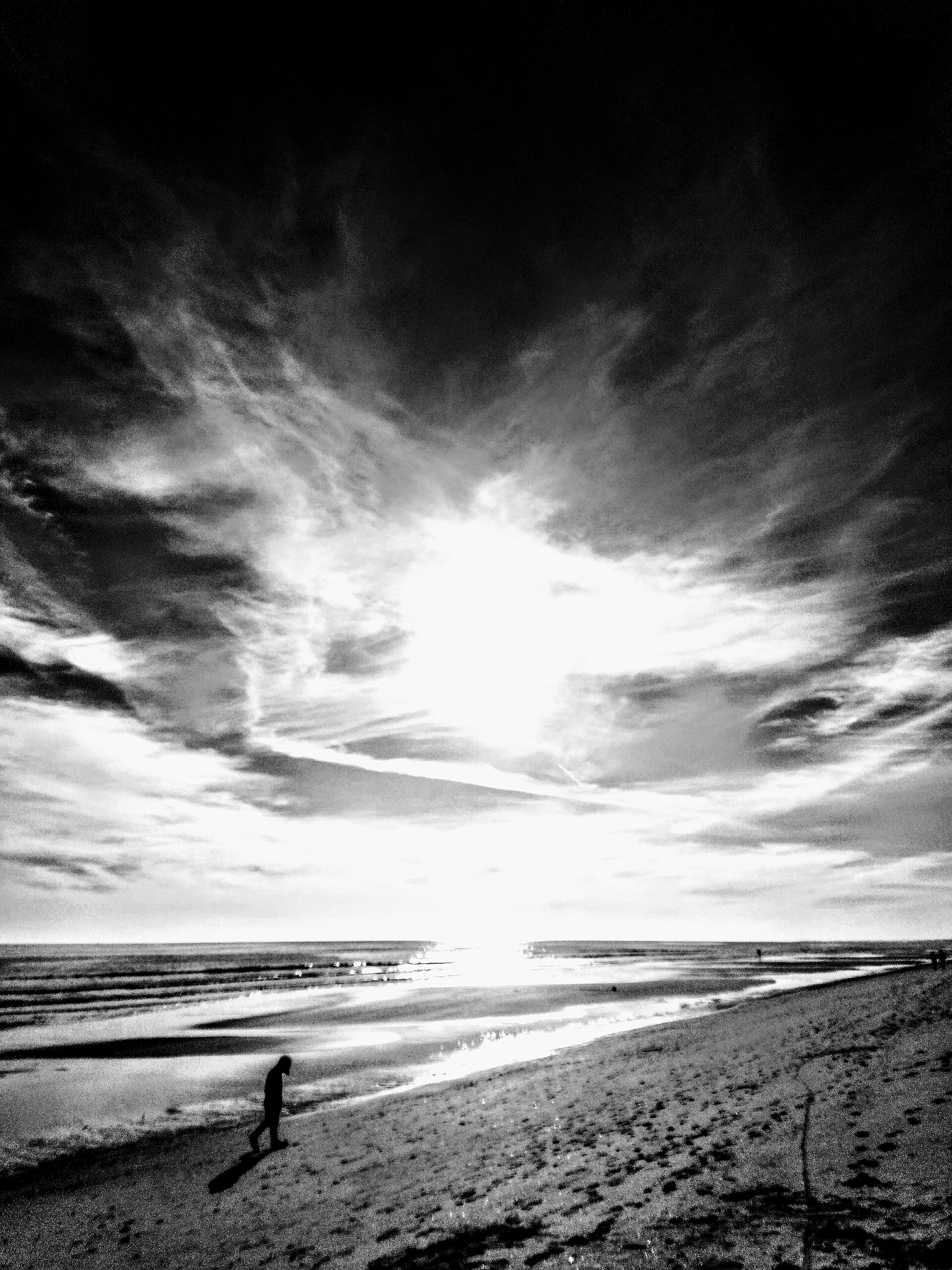
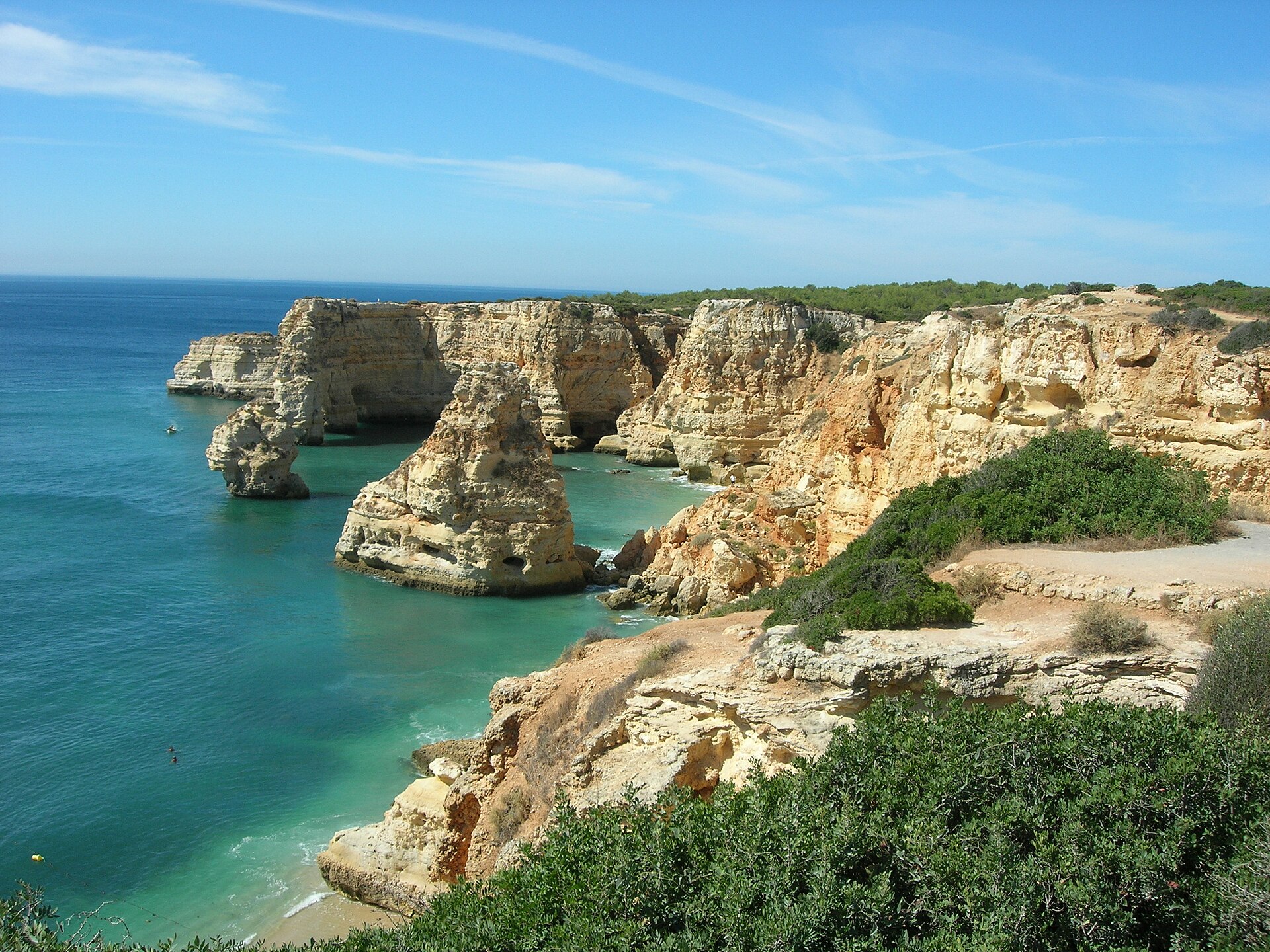
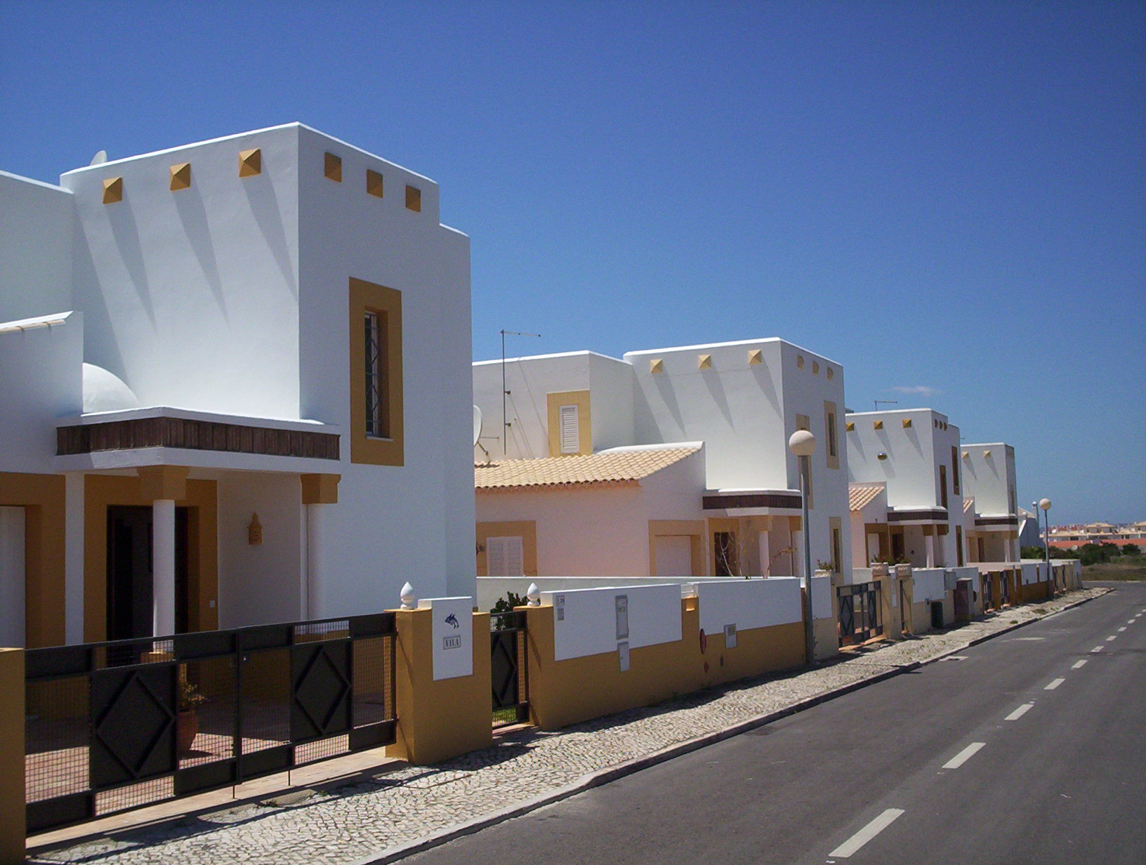
The Algarve is where Portugal turns its face to the Atlantic and lets the light do the talking. The coastline shifts from the sheer ochre cliffs and sea-carved arches of the west to the flat salt marshes and tidal islands of the east — the Ria Formosa — and the two halves feel almost like different countries sharing a railway line.
Inland, orange and almond groves cover the hills around Silves and Loulé, and the pace slows considerably. The region stretches from the Spanish border at Vila Real de Santo António all the way to the wind-scoured cape at Sagres, where Henry the Navigator once set navigators loose on the unknown world.
💛 What travellers fall for
People who come back tend to stop chasing the famous beaches and start following the railway east — Olhão, Tavira, Cacela Velha. They eat grilled fish at market restaurants in Olhão, take the ferry to the barrier islands, and notice how quickly the crowds thin. The N125 is slow but it's how you find the places that don't have signs.
How Algarve came to be
The coast has been a point of arrival and departure for a long time. Phoenicians traded here around 1200 BC; Carthaginians founded what is now Portimão. Romans followed in the 1st century BC, and then, in the early 8th century, Muslim rulers — whose presence gives the region its name, from the Arabic Al-Gharb, meaning 'The West'. Silves was the Moorish capital, and its red sandstone castle, dating to the 10th century, still stands as the most significant Moorish structure in Portugal. The Reconquista ended here in March 1249, when King Afonso III took Faro, the last Muslim stronghold.
On 1 November 1755, an earthquake and tsunami destroyed much of what had been built. Faro Cathedral, founded in 1251, lost most of its structure; Silves Cathedral needed rebuilding; an entire village, Santo António de Avenilha, was wiped out and replaced within five months by a grid-plan town ordered by Prime Minister Pombal. The modern Algarve took a different shape again after Faro Airport opened in 1965, when British tourists arrived in numbers that turned fishing towns into something else entirely.
Who and what shaped it
People who shaped it
Landmark buildings
See Algarve in motion
Plan your visit
On the map
When to go
Summers are long, dry and reliably hot — July and August regularly exceed 30°C on the coast, and more inland. Spring and autumn are mild and often clear, with sea temperatures warm enough to swim through October. Winters are short and mostly mild, though the western cape around Sagres can be genuinely wild and windy from November onward.
Right now
Background & history adapted from Wikipedia (CC BY-SA) · specs from Wikidata (CC0) · weather from Open-Meteo · map data © OpenStreetMap contributors · photos from Wikimedia Commons / Unsplash with per-image credit. No third-party reviews or social posts reproduced.