
Akamas Peninsula
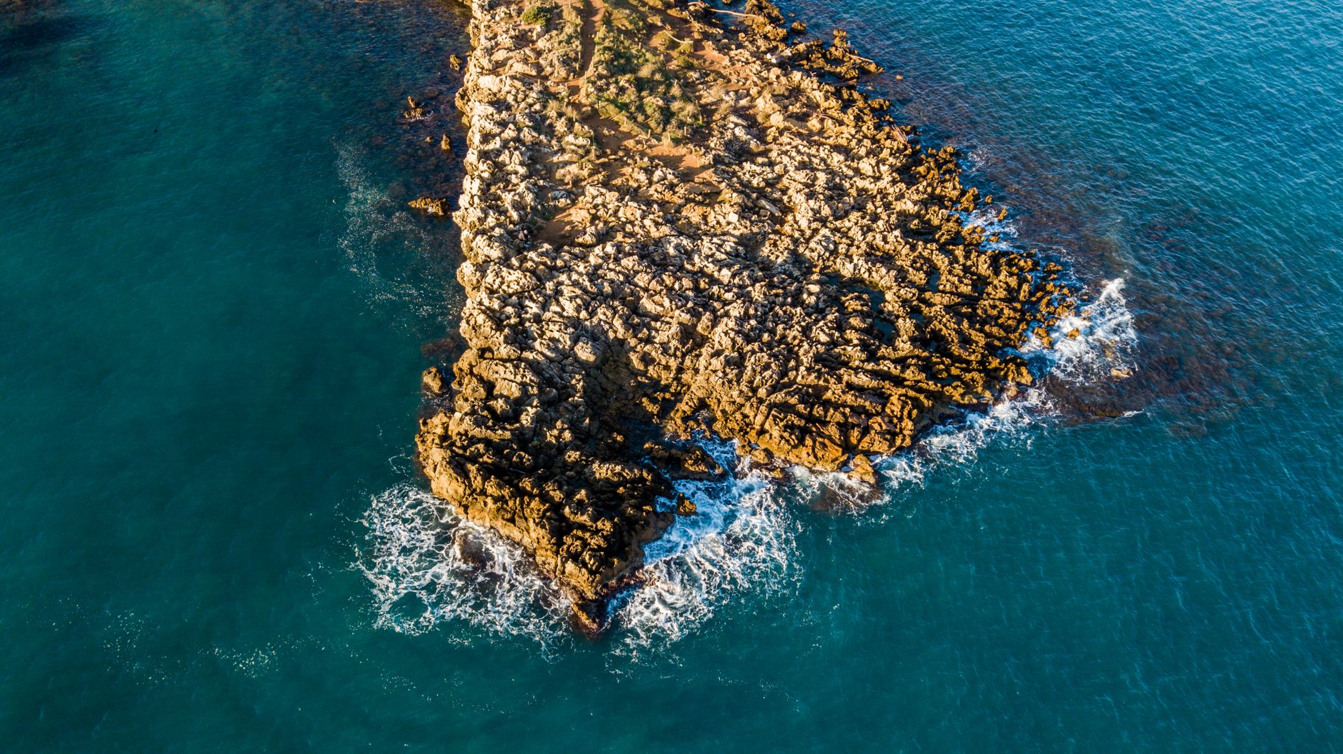
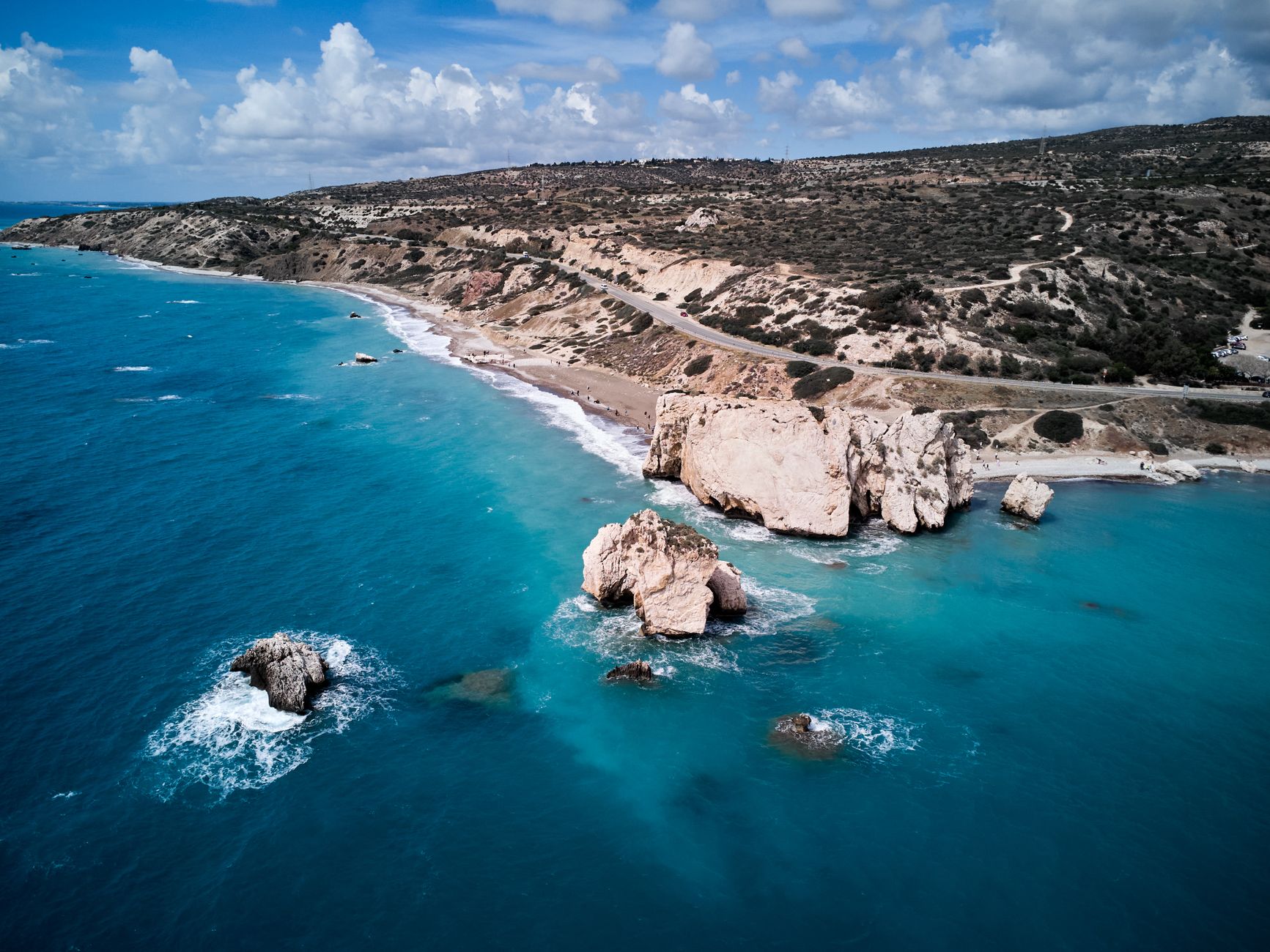
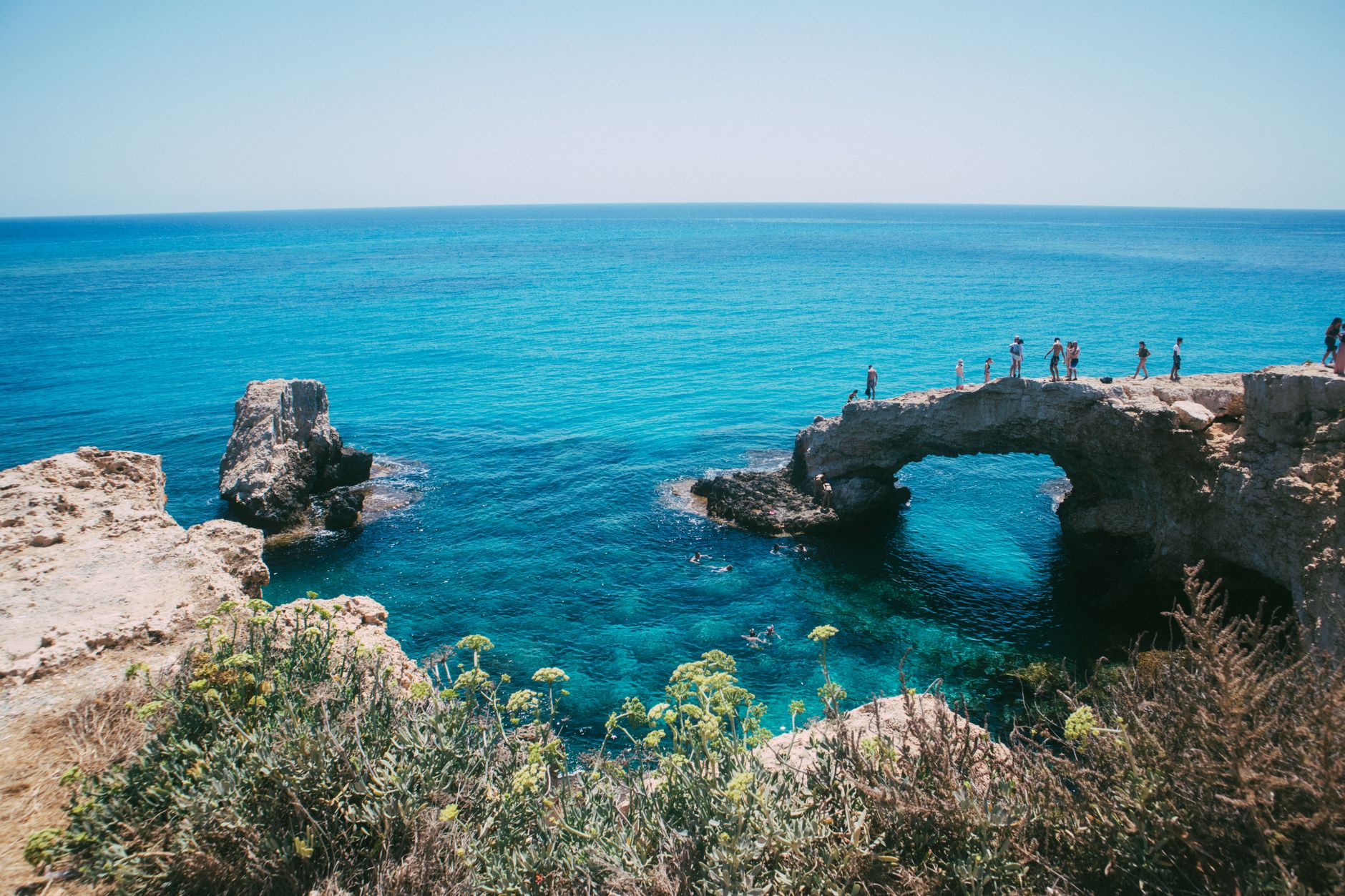
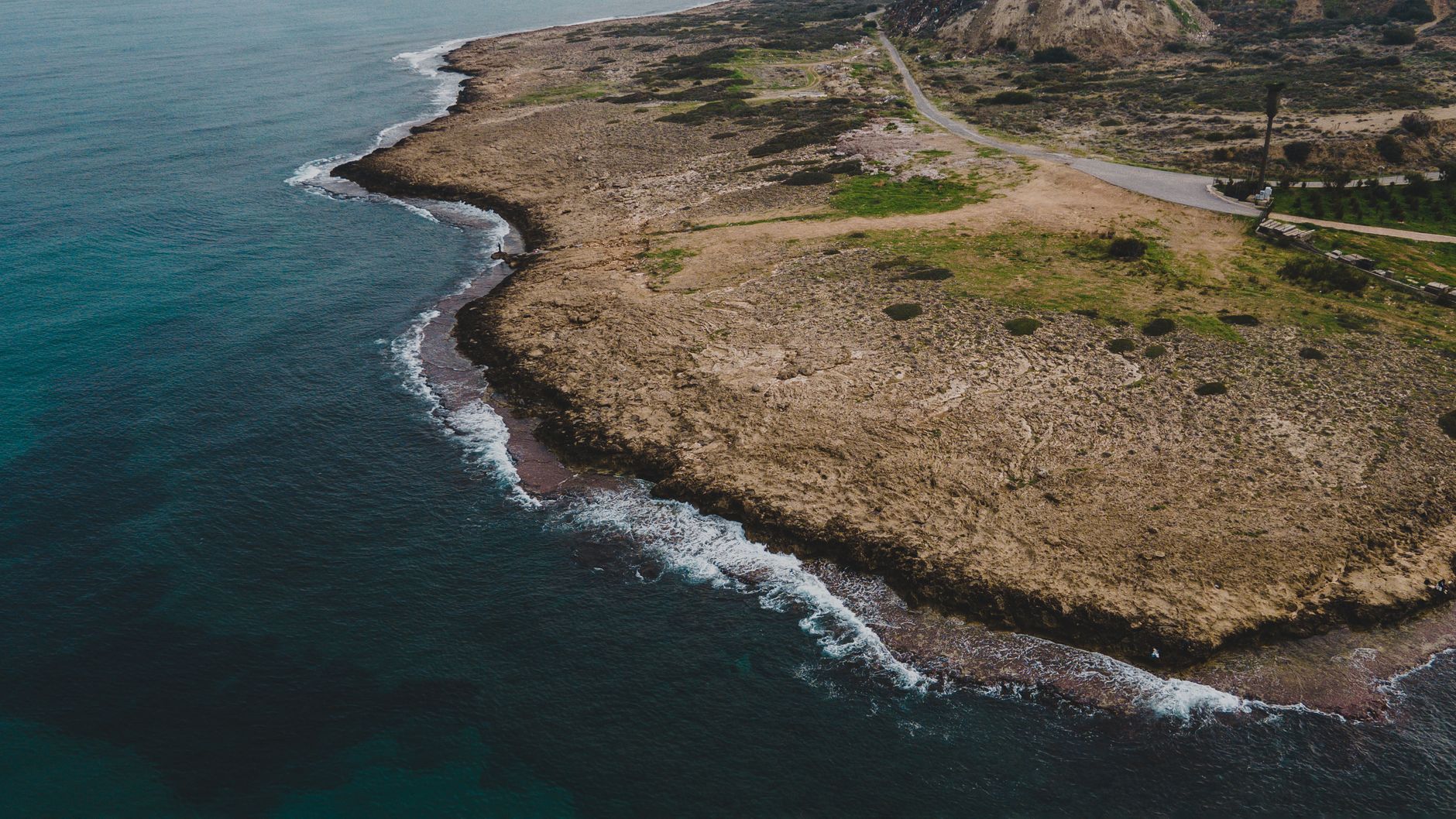
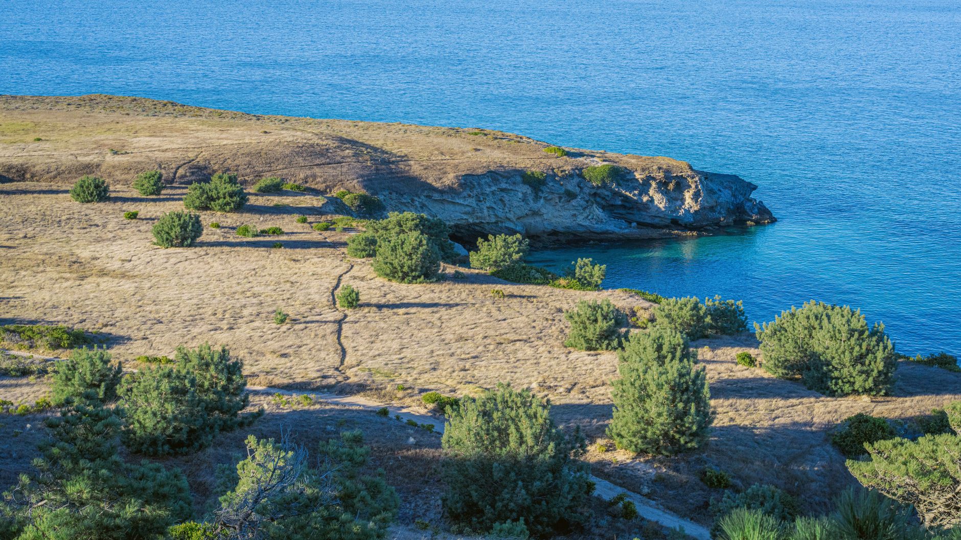
The Akamas Peninsula occupies the far northwestern tip of Cyprus, where the land runs out of road and the Mediterranean closes in on three sides. Paved surfaces give way to chalk-white dirt tracks, the scrub thickens into juniper and pine, and the coastline drops into bays so turquoise they look lit from below. This is the least-developed corner of the island — not by accident, but because the British Army used it as a firing range until the year 2000, and the Natura 2000 designation that followed has kept the bulldozers at bay.
What you find here is a layered place: Neolithic settlers, Bronze Age Mycenaeans, Byzantine basilicas with marble floors, Crusader watchtowers, and loggerhead turtles hauling themselves up Lara Bay's sand every summer, as they have done long before any of that.
How Akamas Peninsula came to be
The peninsula takes its name from Akamas, a son of Theseus said to have founded the city-kingdom of Soli after the Trojan War. People were living here long before that story was told — settlement reaches back to the Early Neolithic, around 10,000 BC, and Mycenaean communities followed in the Bronze Age. The Late Roman and Byzantine centuries left the most visible marks: Cape Drepanon grew into a significant port, supplying wheat ships bound for Constantinople, and its 6th-century basilicas were finished with marble shipped from Prokonnisos and mosaic floors of considerable quality.
The medieval Crusader kingdom added castles and watchtowers; Ottoman rule from the late 16th century left the peninsula largely depopulated. The most recent chapter — British military exercises under the 1960 Treaty of Establishment — inadvertently preserved the landscape until its Natura 2000 designation in 2009.
Who and what shaped it
People who shaped it
Landmark buildings
See Akamas Peninsula in motion
Plan your visit
On the map
When to go
Summers are long, dry, and genuinely hot — the interior tracks are exposed and shadeless, so July and August walking is best done at dawn. April through June and September through October bring mild temperatures and wildflowers or softer light, making them the most comfortable windows for exploring on foot or by 4WD.
Background & history adapted from Wikipedia (CC BY-SA) · specs from Wikidata (CC0) · weather from Open-Meteo · map data © OpenStreetMap contributors · photos from Wikimedia Commons / Unsplash with per-image credit. No third-party reviews or social posts reproduced.