
Ajman
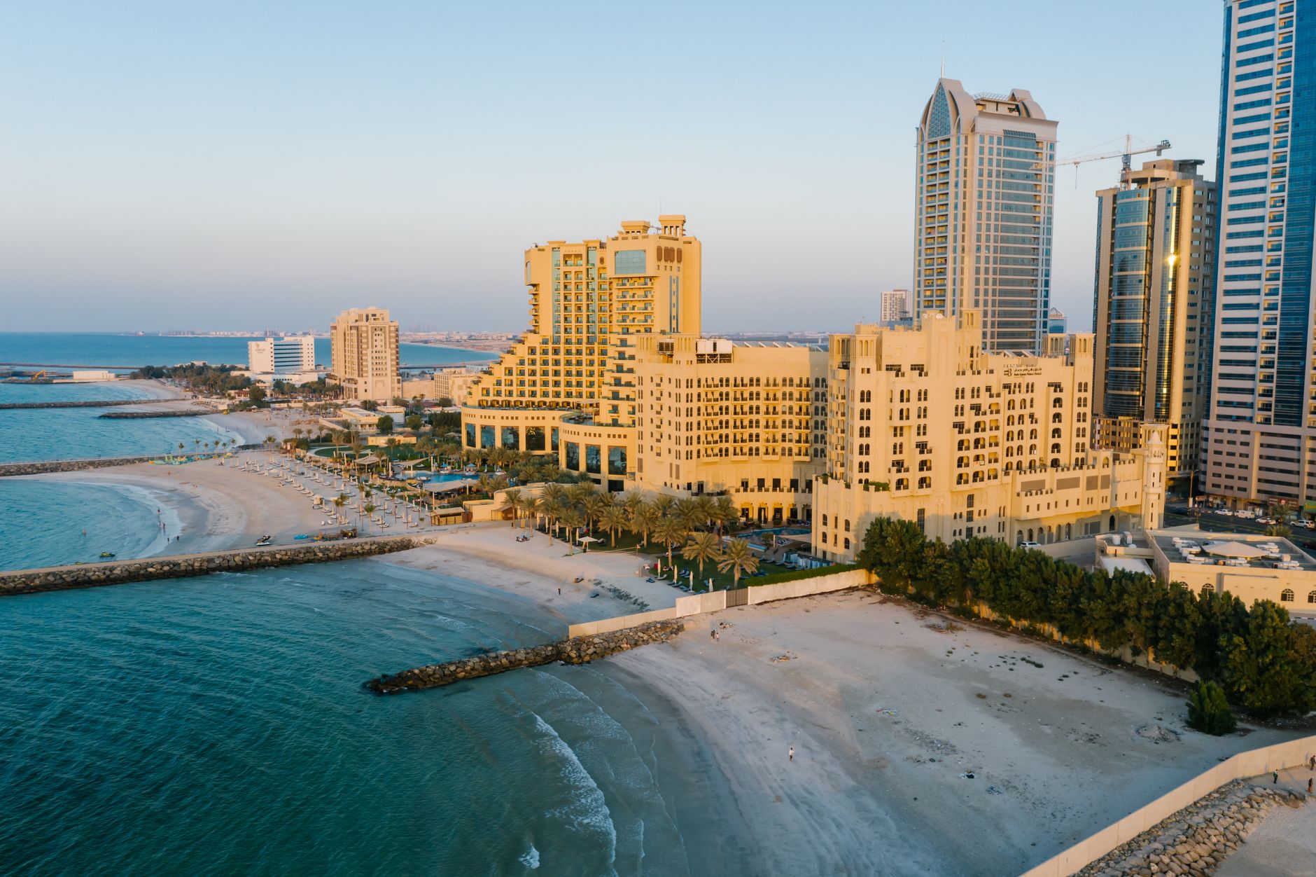
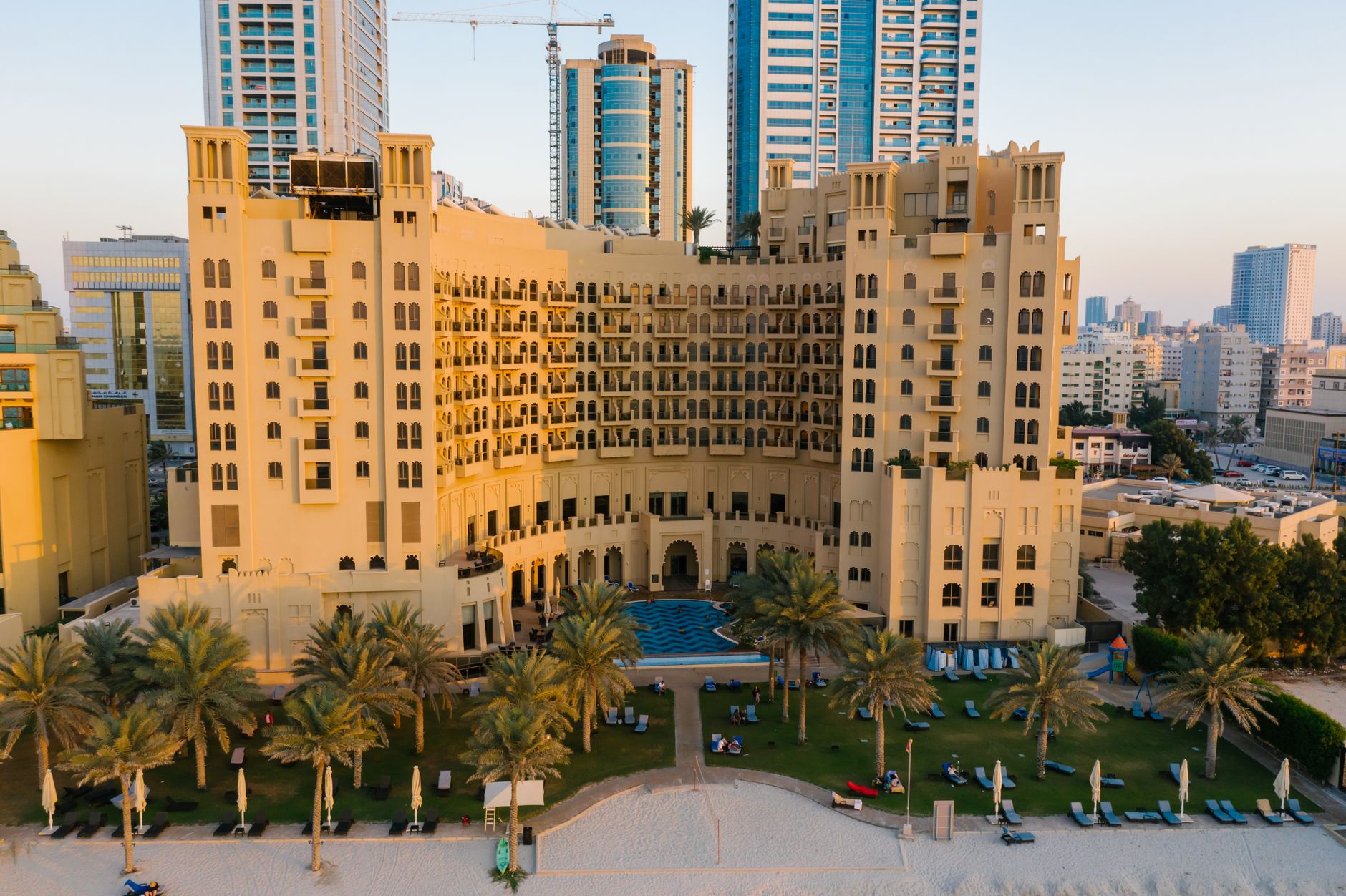
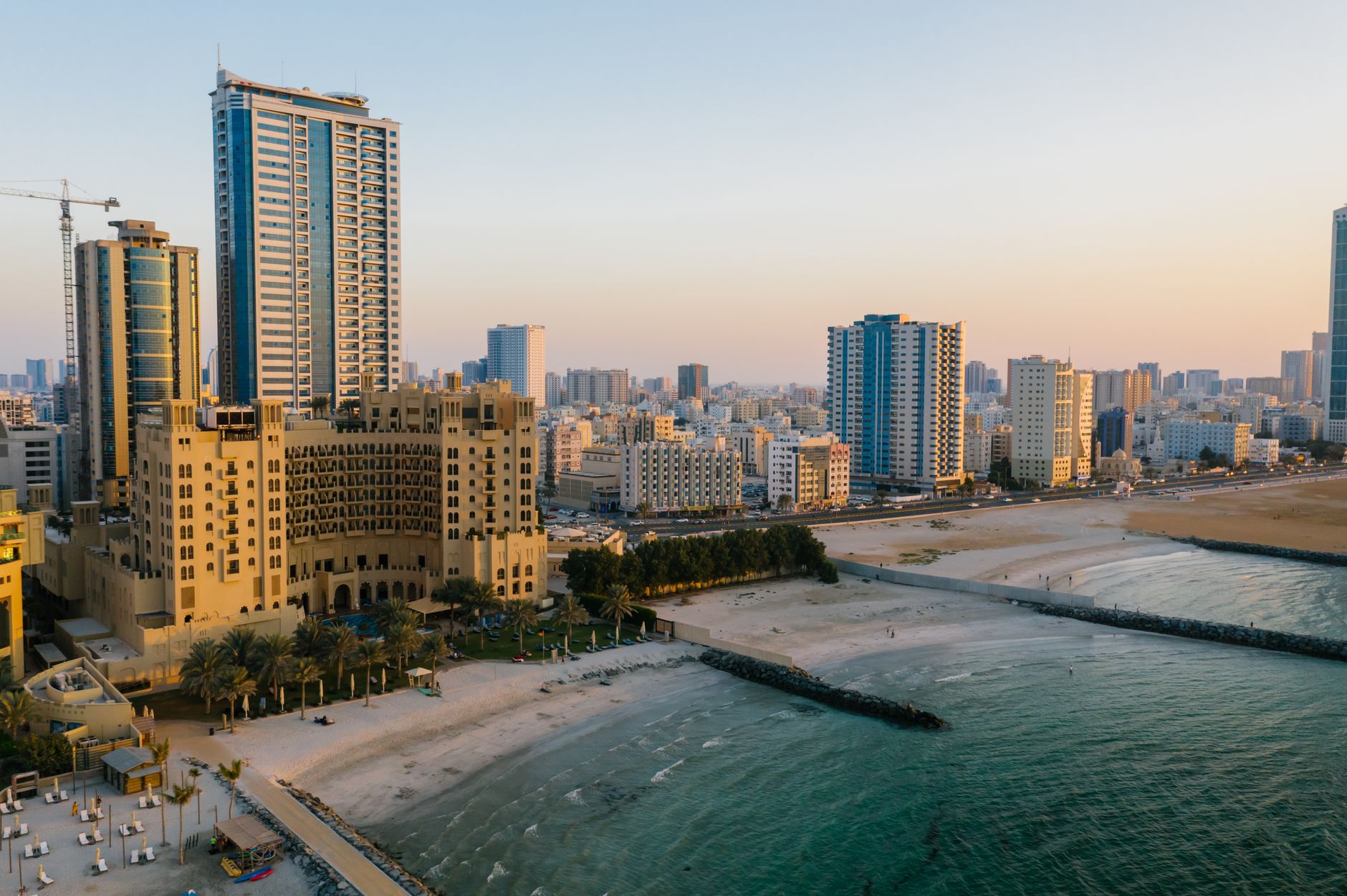
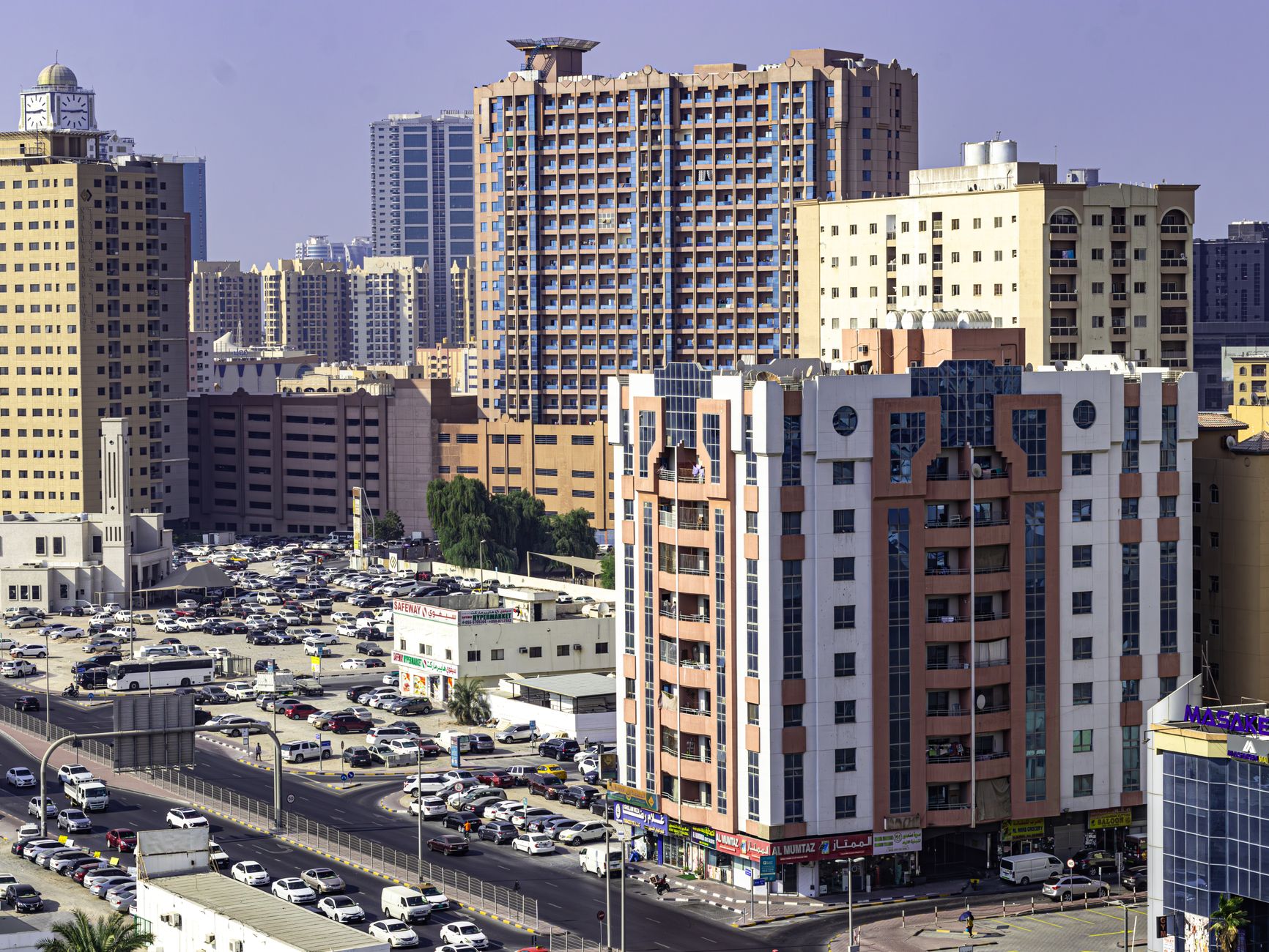
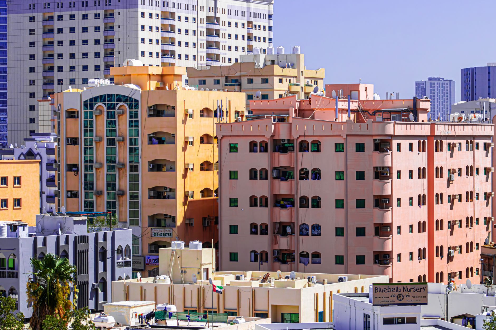
The smallest of the UAE's seven emirates sits on a narrow strip of Gulf coast between Sharjah and Umm Al Quwain, and its scale is part of the point. Ajman moves at a different pace than its neighbours — the Corniche fills up with families on weekend evenings, wooden abras cross the creek for two dirhams, and the 18th-century fort that once housed the rulers now stands sand-coloured and cannon-flanked in the middle of the city as a working museum.
This is a place where the Arabian horse breeding facility run by the Crown Prince sits 30 kilometres from a camel racecourse on the city's edge, and where the longest beach in the emirate — around 16 kilometres of it — remains genuinely uncrowded by regional standards. Come for the texture, not the spectacle.
How Ajman came to be
The Al Nuaimi tribe settled this stretch of coast around 1775, and in 1816 Sheikh Rashid bin Humaid Al Nuaimi led fifty followers to take the coastal settlement and its fort — the same structure that became Ajman Museum in 1981. Four years after that takeover, the Sheikh of Ajman signed the General Treaty of Peace of 1820, the first formal recognition of Ajman as an autonomous state. Further maritime truces followed in 1835 and 1853.
When Britain withdrew from the Gulf in December 1971, Ajman became one of the six founding emirates of the UAE. The Al Nuaimi line has ruled continuously: Sheikh Rashid bin Humaid Al Nuaimi held power for 53 years until 1981, when his son Sheikh Humaid Bin Rashid Al Nuaimi — the current ruler, the tenth in the dynasty — succeeded him.
Who and what shaped it
People who shaped it
Landmark buildings
See Ajman in motion
Plan your visit
On the map
When to go
Summers (June through September) are intensely hot and humid, with temperatures regularly above 40°C — the beach and outdoor sites are best left for early morning or avoided entirely. From October to April the air cools to something genuinely pleasant, with mild days and comfortable evenings along the Corniche.
Right now
Background & history adapted from Wikipedia (CC BY-SA) · specs from Wikidata (CC0) · weather from Open-Meteo · map data © OpenStreetMap contributors · photos from Wikimedia Commons / Unsplash with per-image credit. No third-party reviews or social posts reproduced.