
Airai

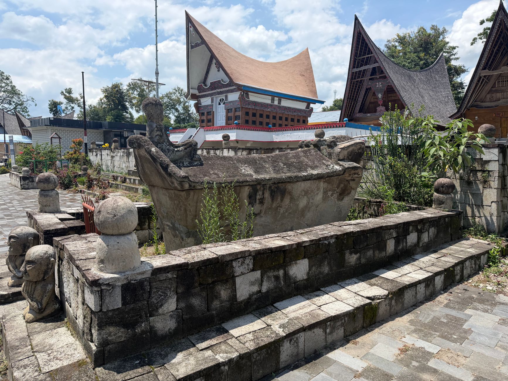
Your first impression of Airai is likely a runway — Roman Tmetuchl International Airport sits squarely within the state's boundaries, making Airai the literal entry point to Palau for almost every visitor. But the state is far more than a transit corridor. A few kilometres from the tarmac, in Ordomel Village, stands the Airai Bai: the oldest surviving traditional meeting house in Palau, its carved beams dense with painted legends, set on a stone platform that has held bai structures for generations.
Airai occupies the southern tip of Babeldaob, Palau's largest island, connected to Koror across the Toach el Mid channel by the Koror–Babeldaob Bridge. The state carries the quiet weight of deep history — oral accounts place its founding well before 1783 — alongside the logistical hum of a place that handles a whole country's arrivals.
💛 What travellers fall for
People who come back to Airai tend to mention the same morning: arriving at the Bai around six, just after the caretaker unlocks, before any other visitors. The painted figures on the interior beams hold the early light differently than they do at midday. Wear something that covers your knees, and bring exact change for the $25 entry.
Experiences you don't want to miss


Deals in Airai
Book directly at the provider


How Airai came to be
Oral history places Airai's founding — then called Irrai — before 1783, with settlers said to have arrived from the north, possibly originally from Peleliu, and given permission to occupy uninhabited land. By the late 1700s the community was already well established. Spanish colonial administration arrived after 1885, and Capuchin missionaries had set up Palau's first permanent Catholic mission by 1891. In 1899 Spain sold the Caroline Islands to Germany; the Japanese seized Palau at the start of World War I and received a League of Nations mandate over the islands in 1920.
During World War II, Airai housed Kaigun Sho, a Japanese Navy communications centre whose bombed ruins still stand. After liberation, the US Navy administered the territory, followed by a formal Trust Territory period under the Department of the Interior from 1951. Airai's state government was established in 1981, and the state adopted its own constitution in 1990.
Who and what shaped it
Landmark buildings
See Airai in motion
Plan your visit
On the map
When to go
Palau sits close to the equator, so Airai is warm and humid year-round, with temperatures holding between 27–32 °C. The drier months from November to April bring less rain and slightly clearer skies, but short downpours can arrive any month — a light rain layer is worth packing whenever you visit.
Right now
Background & history adapted from Wikipedia (CC BY-SA) · specs from Wikidata (CC0) · weather from Open-Meteo · map data © OpenStreetMap contributors · photos from Wikimedia Commons / Unsplash with per-image credit. No third-party reviews or social posts reproduced.