
Aggtelek National Park
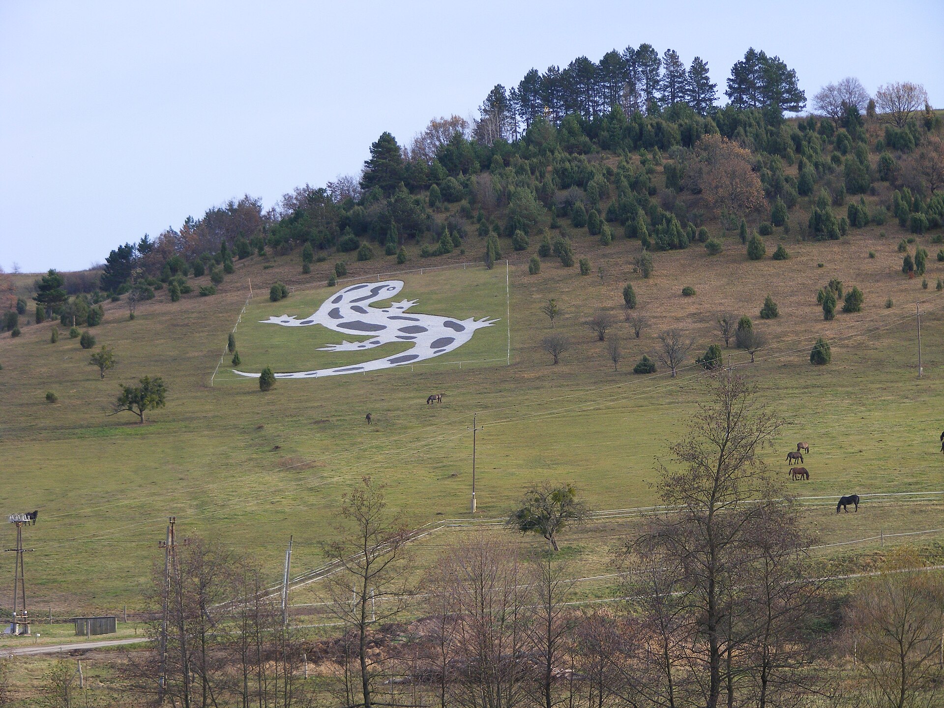

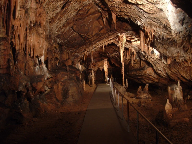
Somewhere beneath the limestone hills of northeastern Hungary, a river once carved 26 kilometres of passage through the rock. You can walk part of that passage today inside Baradla Cave — past a 19-metre stalagmite called the Observatory, through a chamber so large it's named the Hall of Giants, and into a Concert Hall where the acoustics are good enough that people hold weddings there. The cave crosses into Slovakia without ceremony; in the Schengen zone, a border inside a mountain is just a line on the tour map.
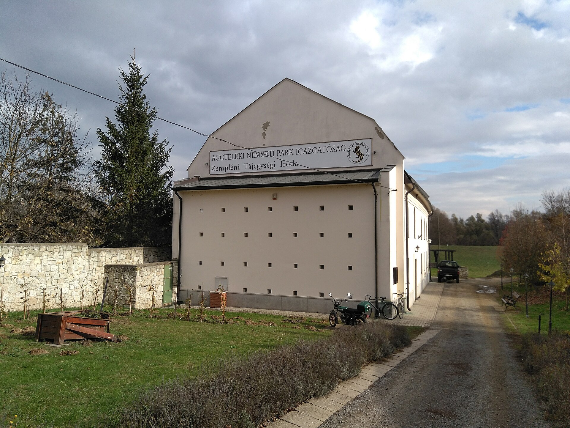
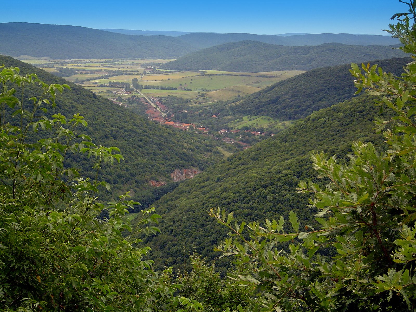
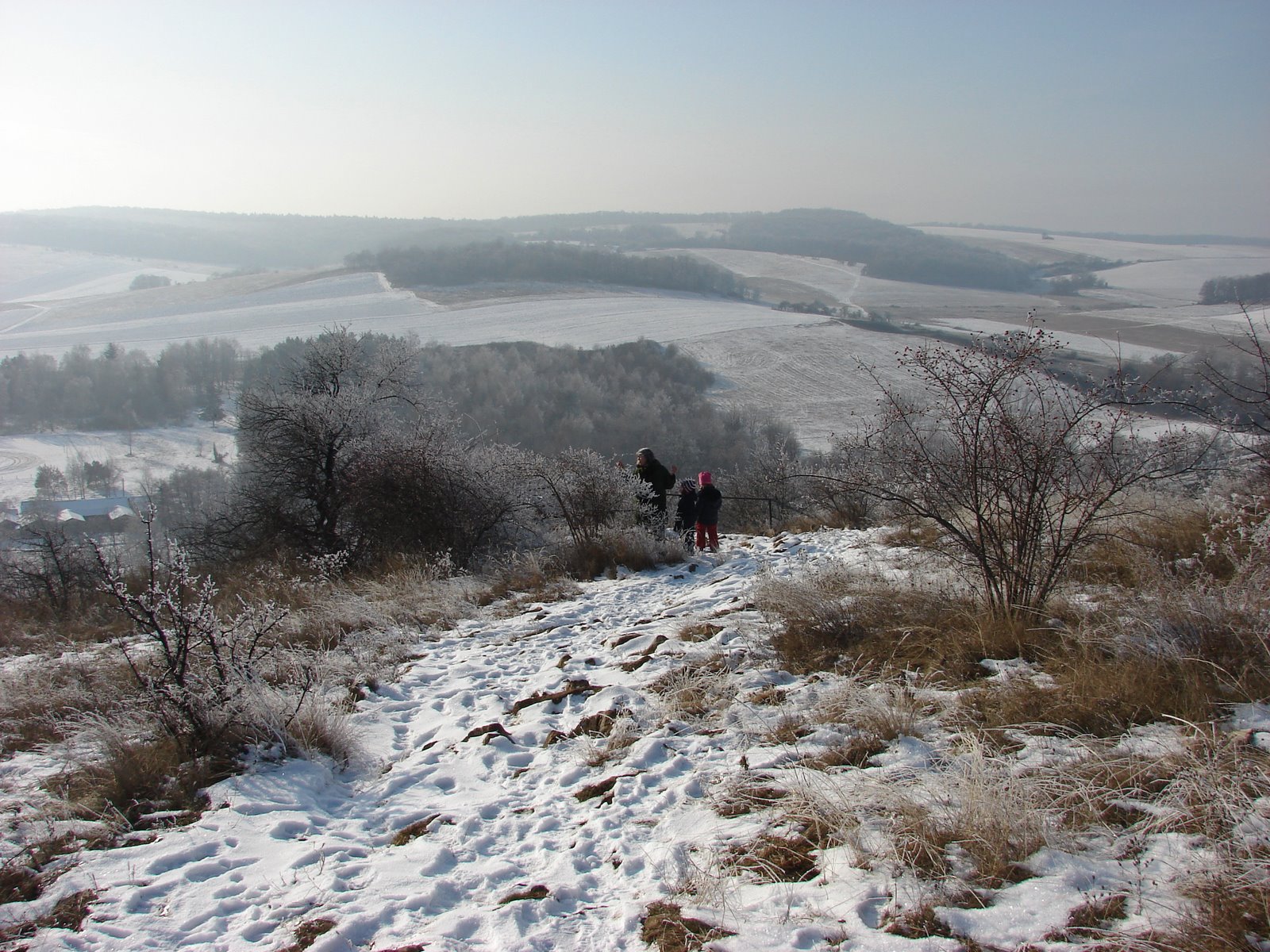
Aggtelek National Park, established on 1 January 1985, sits at the northern edge of Hungary where the terrain folds into karst. Above ground there are sinkholes, forest trails, a small lake formed in a limestone hollow, and the village of Jósvafő. Below ground, the geology does the heavy lifting.
How Aggtelek National Park came to be
People have been coming to Baradla since the early 1800s, drawn by the scale of what's down there. Formal protection arrived gradually: a landscape protection district was designated in 1978, a UNESCO Biosphere Reserve followed in 1979, and on the first day of 1985 Aggtelek became Hungary's first national park.
In 1995 UNESCO added the Caves of Aggtelek Karst and Slovak Karst to the World Heritage list — recognising the cave system as a shared geological feature that predates any border between the two countries. The Peace Cave, another formation within the park, operates a sanatorium for respiratory conditions, a use that stretches back decades.
Who and what shaped it
Landmark buildings
See Aggtelek National Park in motion
Plan your visit
On the map
When to go
April through September brings mild temperatures, longer daylight, and the park's trails at their most walkable; spring and autumn can shift quickly, with sudden rain or cold snaps worth preparing for. Winter is quiet and suited to snowshoeing, though inside Baradla the temperature never changes — 10°C whether it's July or January.
Right now
Background & history adapted from Wikipedia (CC BY-SA) · specs from Wikidata (CC0) · weather from Open-Meteo · map data © OpenStreetMap contributors · photos from Wikimedia Commons / Unsplash with per-image credit. No third-party reviews or social posts reproduced.