
Agadir
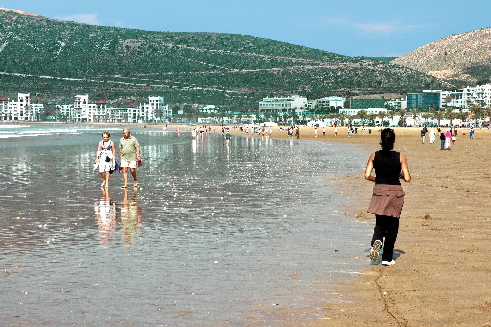
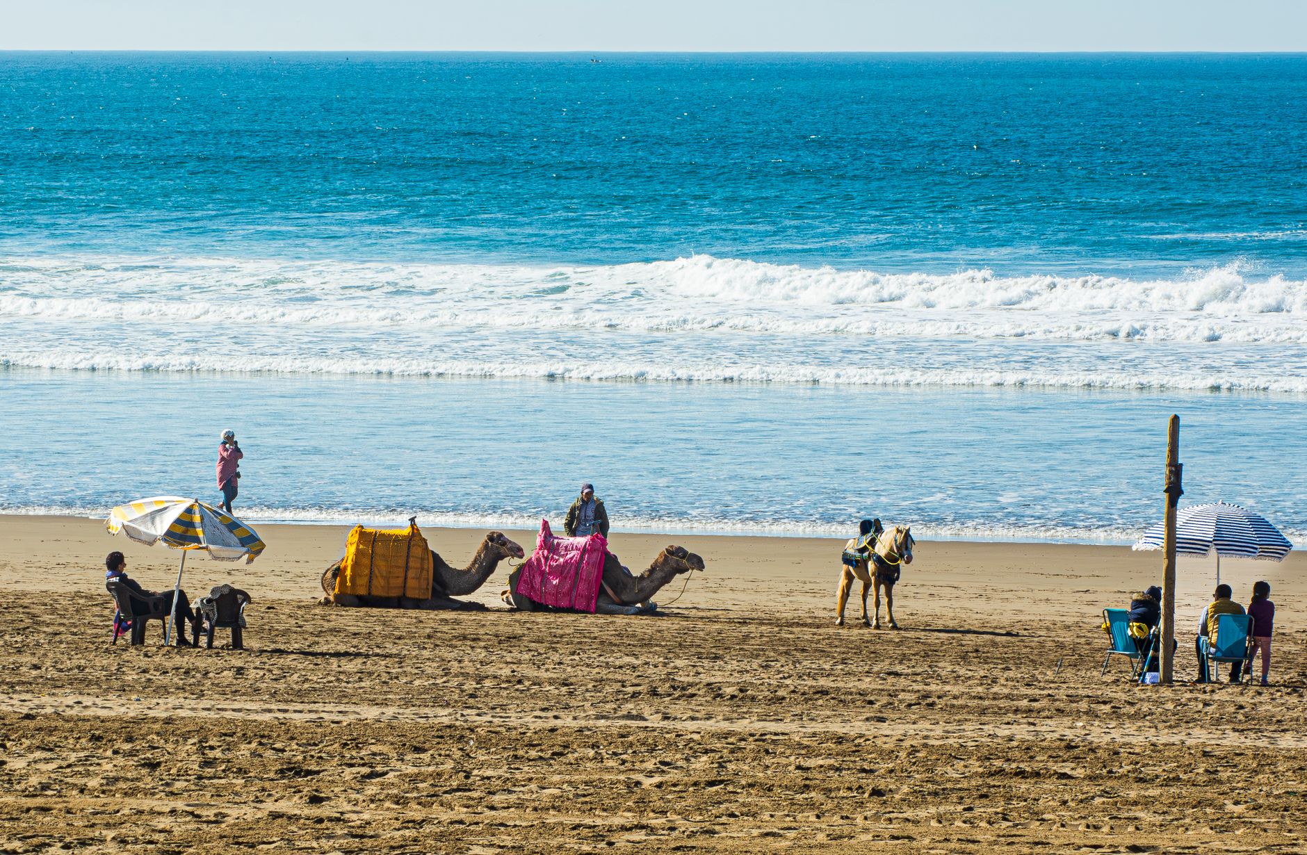
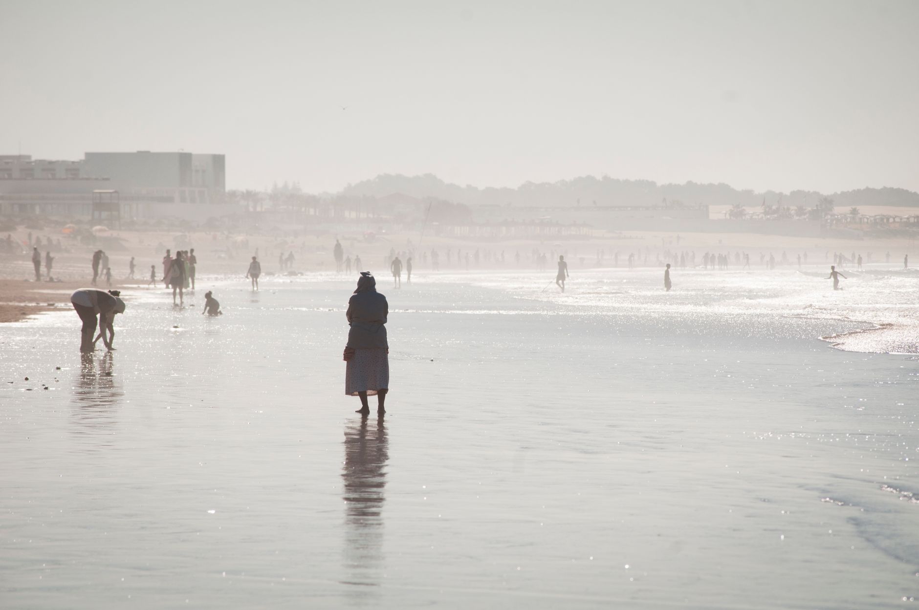
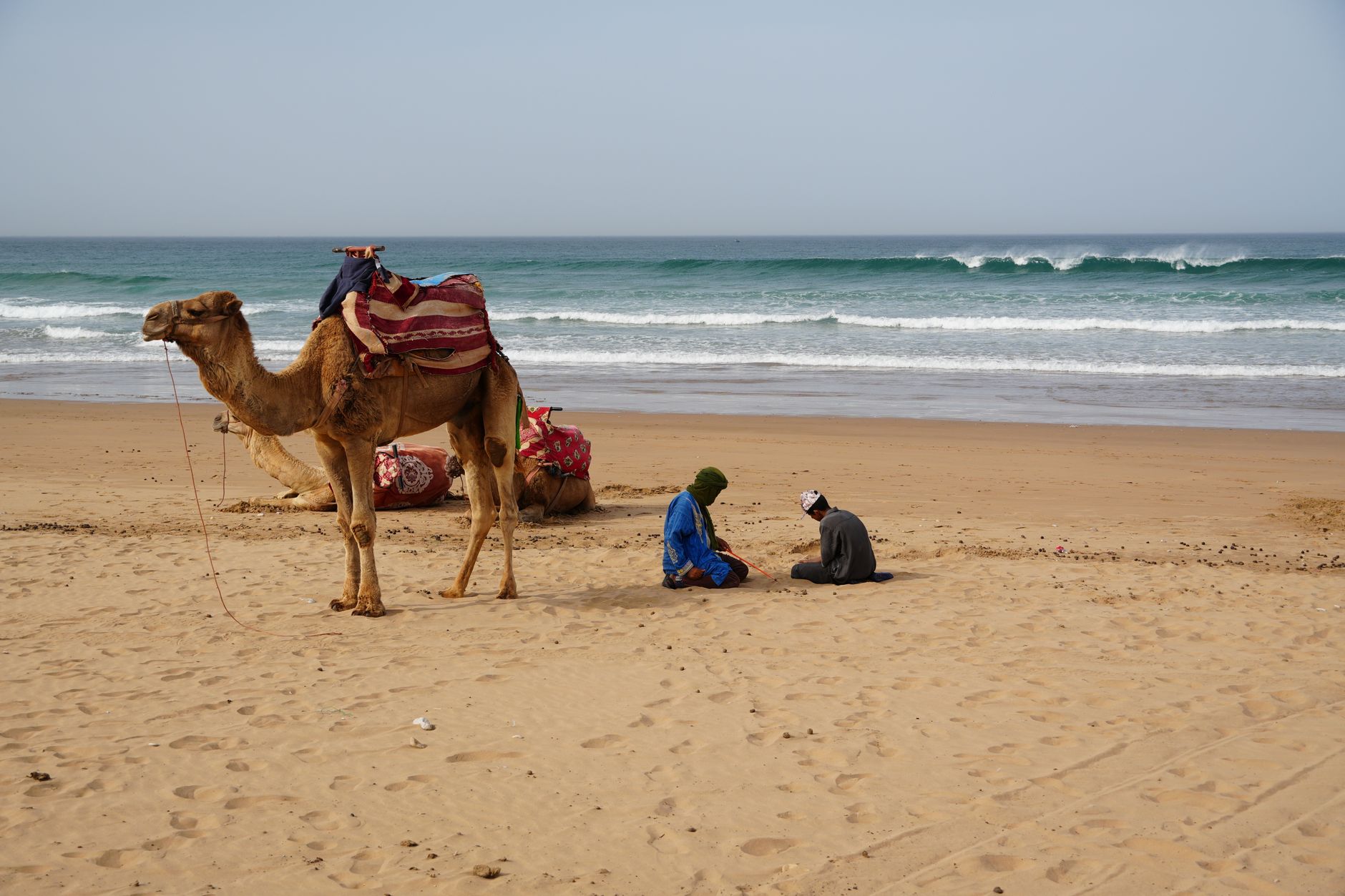
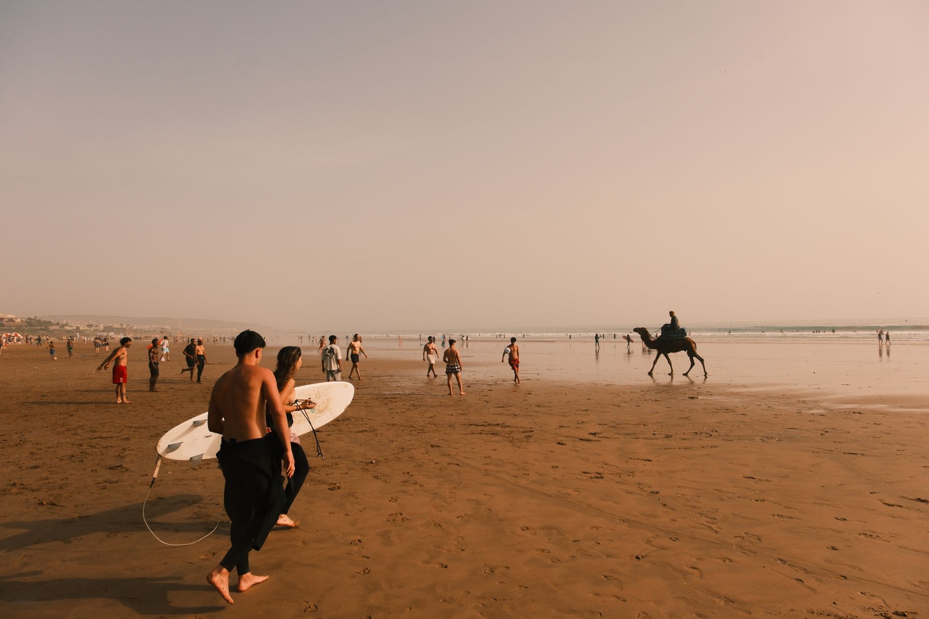

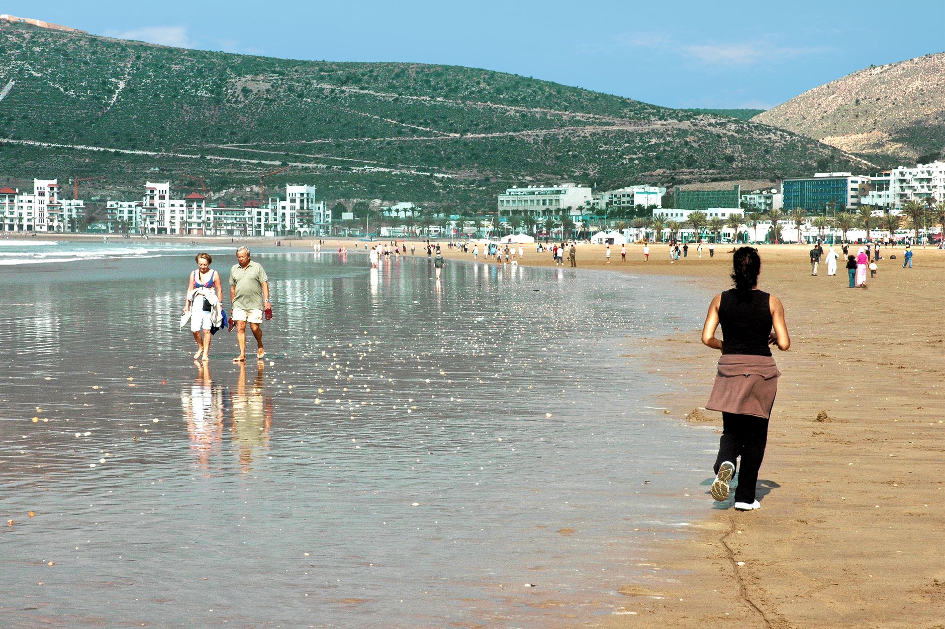
At exactly 23:40 on the night of 29 February 1960, Agadir stopped being the city it had been for four centuries. A magnitude 5.8 earthquake, shallow and merciless, killed roughly a third of the population in under fifteen seconds. What you walk through today is almost entirely a post-1960 creation — a planned city rebuilt two to three kilometres south of the epicentre, engineered against the next tremor, and shaped by a coastline of wide Atlantic beach that softens everything around it.
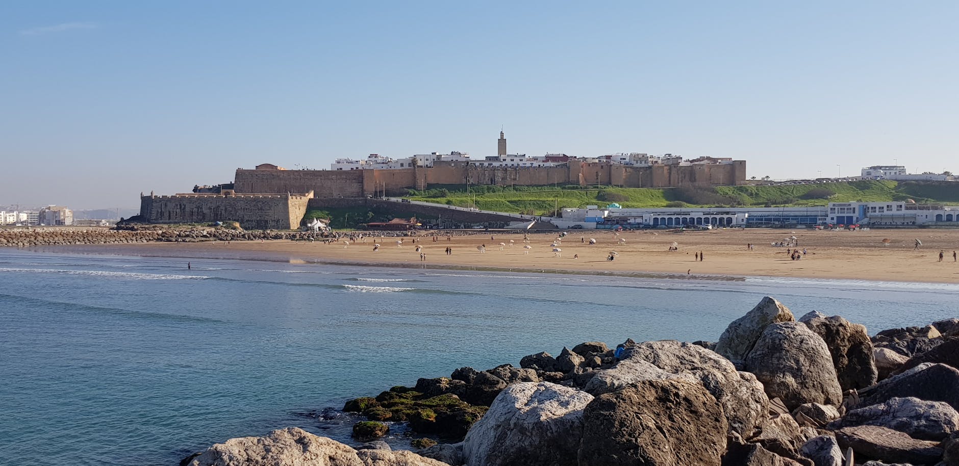
That beach is the fact most visitors lead with, and it earns the attention. But the older story sits up on the hill to the north, where the ruined walls of the Kasbah of Agadir Oufella still carry an inscription — God, the Homeland, the King — readable from the city below.
💛 What travellers fall for
People who return tend to time the Kasbah for late afternoon, when the Atlantic light catches the inscription on the southern wall and the whole coast spreads out below you. The shuttle runs every twenty minutes from the bottom of the hill, but the walk up the paved road, taken slowly, gives you a different sense of the scale of what was lost and rebuilt.
Experiences you don't want to miss


Deals in Agadir
Book directly at the provider

How Agadir came to be
A Portuguese trader named João Lopes de Sequeira established a fort here in 1505, calling it Santa Cruz do Cabo de Gué. The Saadian Sultan retook the site in 1541 and built the Kasbah on the hill — 236 metres above the harbour — initiating what became a prosperous era of trans-Saharan trade. That era closed quietly in 1760 when Sultan Mohammed ben Abdallah redirected trade north to Essaouira; the harbour didn't reopen until 1881.
The 1911 Agadir Crisis — a German gunboat anchoring in the bay to test French resolve — briefly put the city on the map of European geopolitics. Then came 1960. King Mohammed V chose to rebuild rather than abandon the site, and Prince Moulay Hassan oversaw the rescue operation. The city that rose from it is, in almost every physical sense, less than seventy years old.
Who and what shaped it
People who shaped it
Landmark buildings
See Agadir in motion
Plan your visit
On the map
When to go
Agadir sits in a subtropical oceanic zone that keeps winters mild — January averages a high of around 20°C, though nights can drop to 8°C. Rain falls almost entirely between October and April, so summer visits are reliably dry, and the Atlantic breeze keeps the heat from becoming oppressive.
Right now
Background & history adapted from Wikipedia (CC BY-SA) · specs from Wikidata (CC0) · weather from Open-Meteo · map data © OpenStreetMap contributors · photos from Wikimedia Commons / Unsplash with per-image credit. No third-party reviews or social posts reproduced.