
Acklins
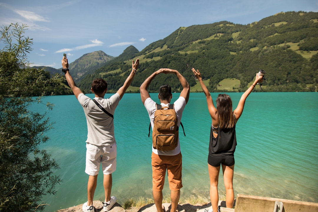
Acklins curves around the edge of a vast, shallow lagoon called The Bight — a body of water so flat and clear that you can wade knee-deep five miles from shore. The island holds a population of 676 people, roads that peter out into unpaved tracks, and two scheduled flights a week from Nassau. What grows here almost nowhere else in the Bahamas is cascarilla bark, a bitter herb harvested by hand and shipped abroad as a core ingredient in Campari.
The settlements have names that read like a quiet poem — Delectable Bay, Lovely Bay, Snug Corner, Golden Grove. Castle Island, at the southern tip, sits behind a lighthouse built in 1868 and can only be reached by boat. This is an island that asks you to slow down, not because it markets itself that way, but because the infrastructure simply leaves no other option.
How Acklins came to be
The Lucayan people knew this island as Yabaque, meaning 'large western land,' and left behind what archaeologists believe is one of the largest Lucayan settlements in the Bahamas, near Pompey Bay Beach south of Spring Point. On Samana Cay alone, National Geographic Society excavations uncovered ten ancient sites.
American Loyalists arrived in the late 1780s, establishing cotton plantations worked by more than a thousand enslaved people. When Britain abolished slavery, the plantations collapsed and sponge diving took over — until synthetic sponges ended that trade too. Acklins and Crooked Island were administered as a single district until 1999, and public electricity did not reach Acklins until 1998.
Who and what shaped it
Landmark buildings
See Acklins in motion
Plan your visit
On the map
When to go
The dry season, December through April, brings temperatures between 24°C and 29°C with low humidity and little rain — the most straightforward time to visit. From May onward, heat and humidity rise and hurricane season runs through November; Acklins sits far enough south that it receives roughly half the annual rainfall of the northern Bahamas.
Right now
Background & history adapted from Wikipedia (CC BY-SA) · specs from Wikidata (CC0) · weather from Open-Meteo · map data © OpenStreetMap contributors · photos from Wikimedia Commons / Unsplash with per-image credit. No third-party reviews or social posts reproduced.