
Abu Simbel
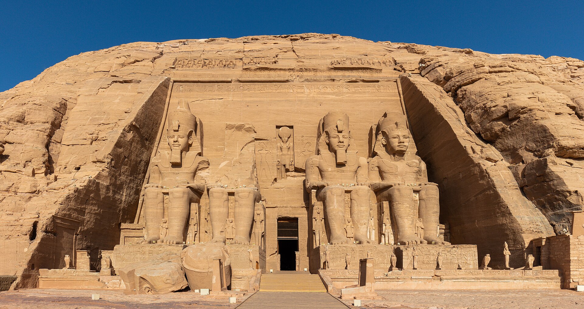
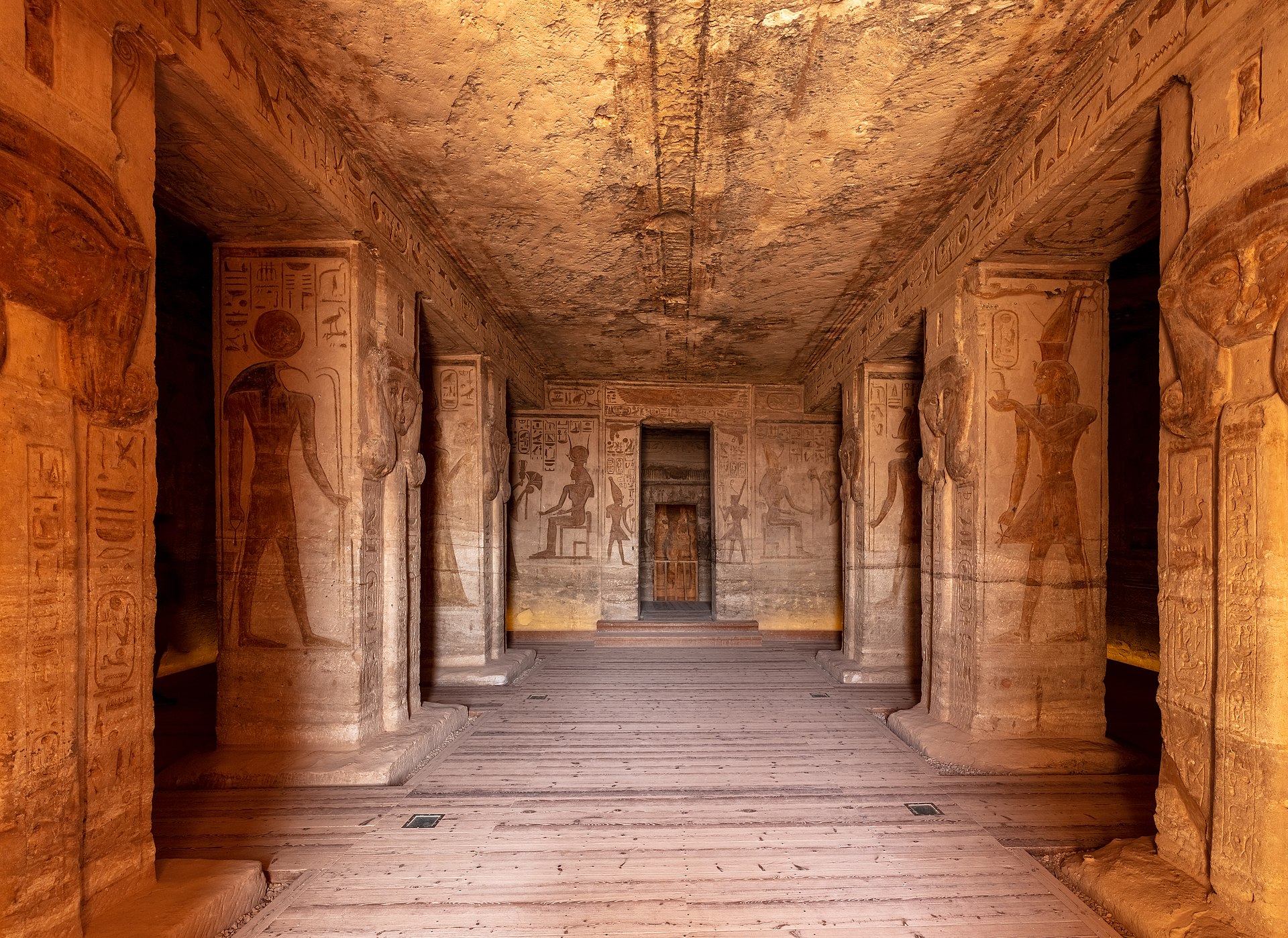
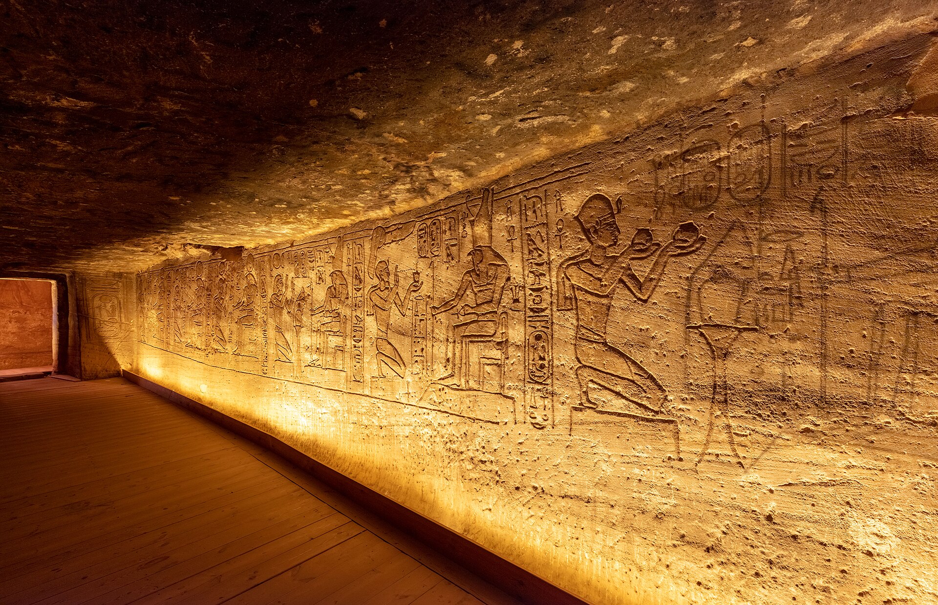
Two temples cut directly into a sandstone cliff on the western bank of Lake Nasser, roughly 230 kilometres south of Aswan — Abu Simbel sits at the far edge of what most people think of as Egypt. The scale announces itself before you're ready for it: four seated figures of Ramses II, each around 20 metres tall, stare out across the water with the particular calm of things that have been waiting three thousand years.
What makes the place stranger still is that none of it is where it started. The temples were carved in place around 1264 BCE, then sawn into blocks and moved uphill between 1963 and 1968 to save them from the rising waters of Lake Nasser. The seam is invisible. The intention is not.
How Abu Simbel came to be
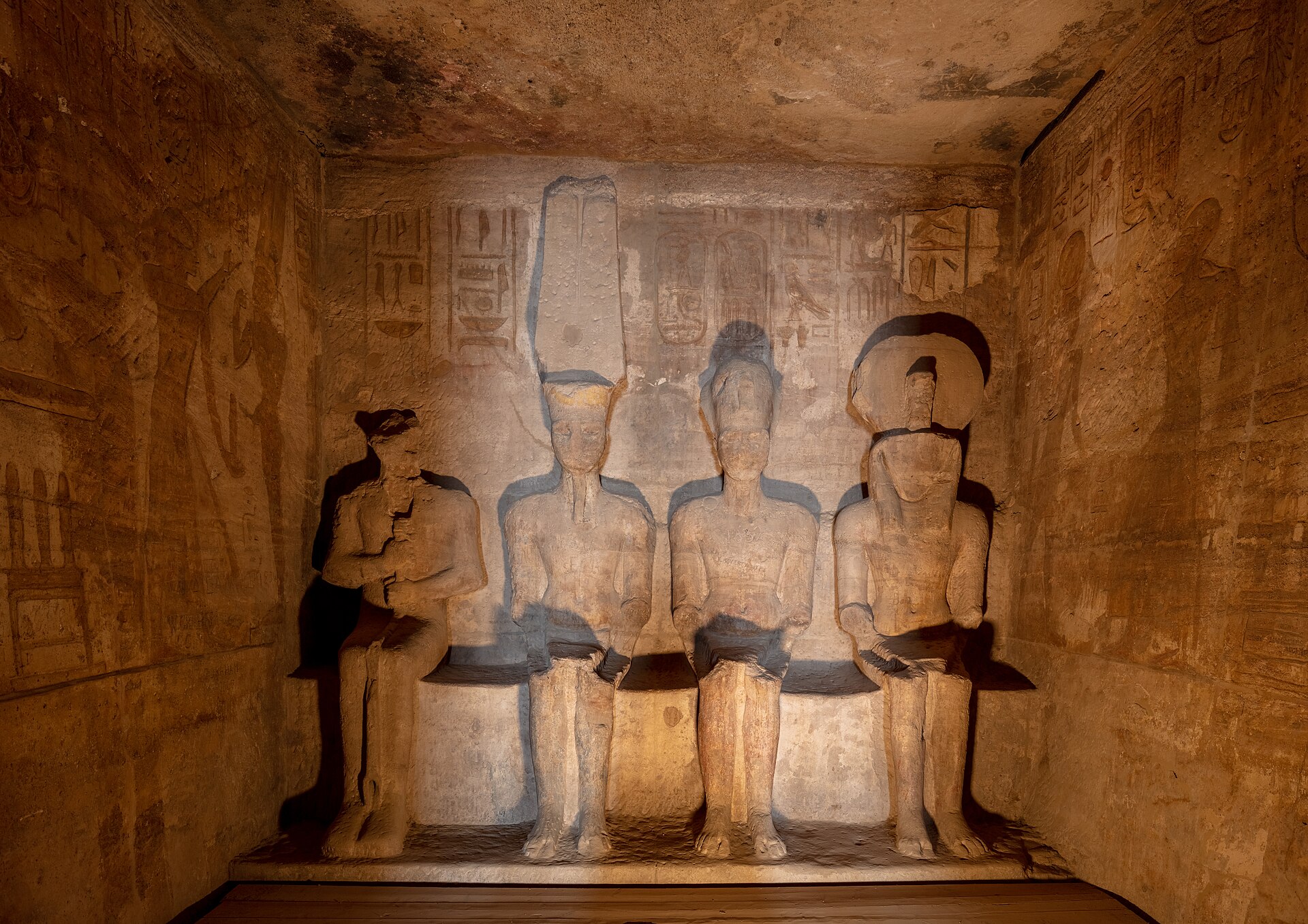
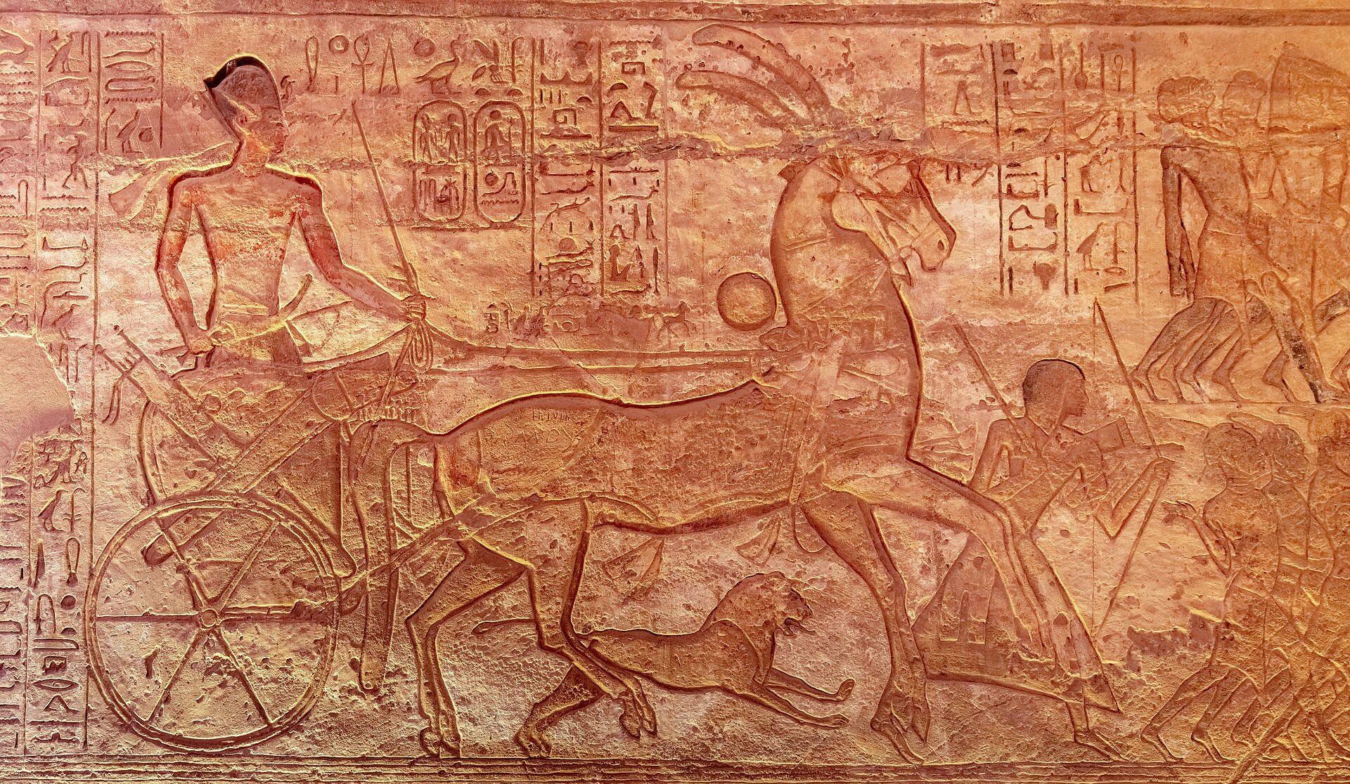
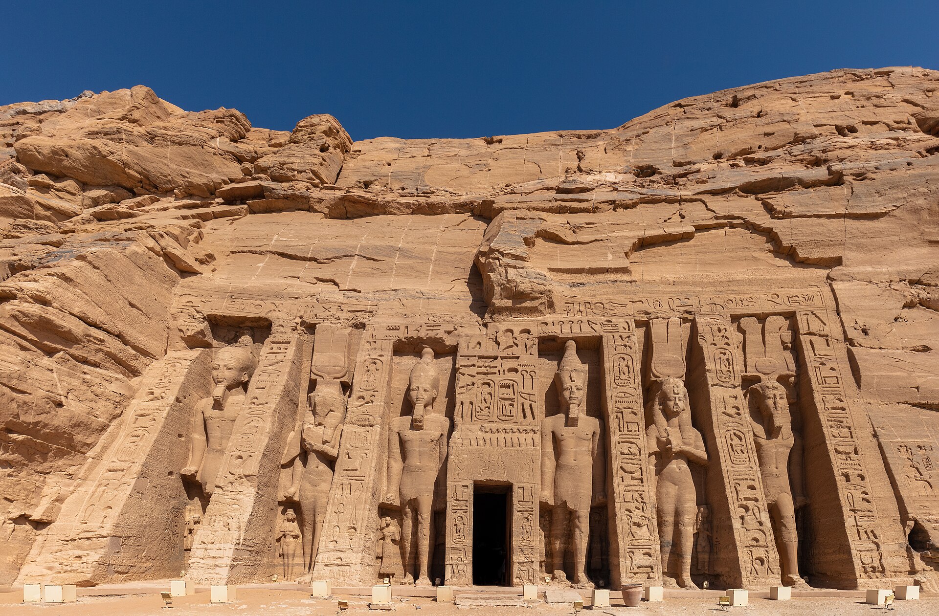
Ramses II ordered construction of the two temples around 1264 BCE; the work took roughly twenty years. The Great Temple honours the sun gods Amon-Re and Re-Horakhte, its inner halls running 56 metres into the cliff past Osiride statues and carved scenes of the Battle of Kadesh. The smaller temple to the north was dedicated to his queen Nefertari and the goddess Hathor. The axis of the Great Temple was set so that on 22 October and 22 February, sunlight reaches the back wall and illuminates three of the four sanctuary figures — the fourth, Ptah, god of the dead, stays dark.
The temples disappeared under drifting sand and remained largely unknown to the outside world until the Swiss explorer Johann Ludwig Burckhardt came across them in 1813. Giovanni Belzoni excavated and entered them in 1817. The site became a UNESCO World Heritage property in 1979.
Who and what shaped it
People who shaped it
Landmark buildings
See Abu Simbel in motion
Plan your visit
On the map
When to go
Abu Simbel is full desert: no meaningful rainfall, and summers that push above 40°C in July and August. Winter days are warm and clear, with nights dropping to around 10°C — November through February is when the site is genuinely comfortable to walk around in.
Right now
Background & history adapted from Wikipedia (CC BY-SA) · specs from Wikidata (CC0) · weather from Open-Meteo · map data © OpenStreetMap contributors · photos from Wikimedia Commons / Unsplash with per-image credit. No third-party reviews or social posts reproduced.