
Abha
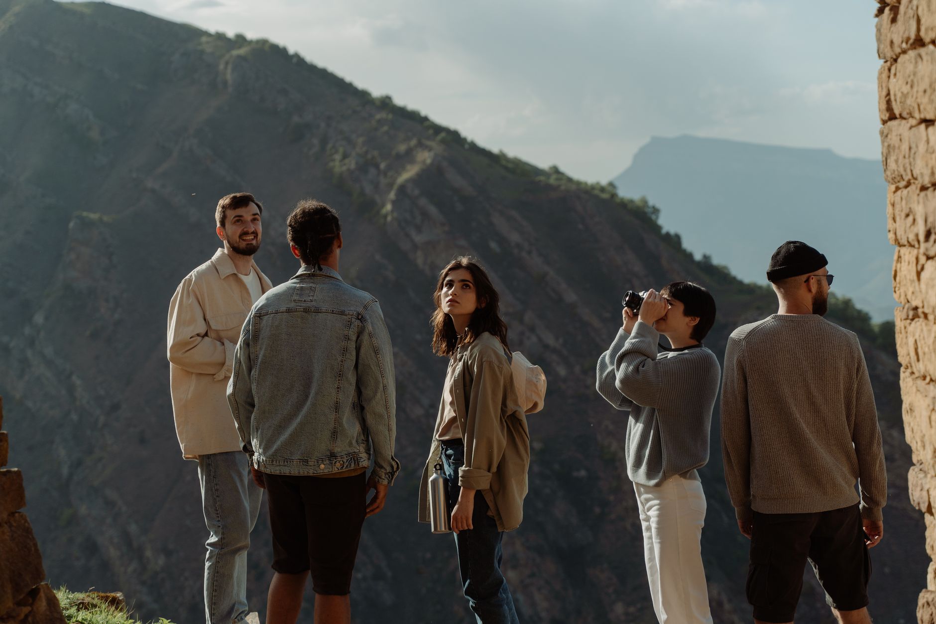
Abha sits at around 2,200 metres above sea level in the Asir highlands of southwestern Saudi Arabia, which means the air is cooler than almost anywhere else in the country and the light, even in summer, has a particular quality — softer, less punishing. The city's buildings are characteristic of the region: clay and stone facades decorated with al-Qatt al-Aseeri geometric art, colours shifting with the rock type used.
The Abha Dam on the city's western edge backs up a kilometre-long lake, and hilltop fortresses — including Shamsan Castle on a mountain of the same name — give the skyline a layered, historical weight. Art Street, lined with purple Jacaranda trees, runs from the dam toward a dancing fountain and hosts a stretch of concerts and performances every mid-July.
How Abha came to be
Abha became the capital of the Emirate of Aseer in 1827 under Prince Ali Bin Mujthil al-Mughidi. The region passed into Ottoman administration in 1872, and Abha remained the seat of Ottoman-backed Asiri authority until World War I. In 1918, Prince Yahya bin Hasun Al Ayde reclaimed the city and ruled independently — briefly. By 1920, Ikhwan forces loyal to Ibn Saud had absorbed Asir into what would become Saudi Arabia.
The 1927 palaces tell that compressed history plainly: Shadda Palace and Abu Malha Palace (the White Palace) were both built that year, one displaying local handicrafts, the other housing folk heritage. The Shada Archaeological Palace, dating to the 1820s, is among the oldest standing structures in the city.
Who and what shaped it
People who shaped it
Landmark buildings
See Abha in motion
Plan your visit
On the map
When to go
Thanks to its elevation, Abha rarely exceeds 35°C even at the height of summer, with June daytime highs around 32°C and January days a mild 22°C. It occasionally snows in the higher reaches in winter, and the city receives most of its 278mm annual rainfall between February and April, with a secondary wet spell in July and August.
Right now
Background & history adapted from Wikipedia (CC BY-SA) · specs from Wikidata (CC0) · weather from Open-Meteo · map data © OpenStreetMap contributors · photos from Wikimedia Commons / Unsplash with per-image credit. No third-party reviews or social posts reproduced.